
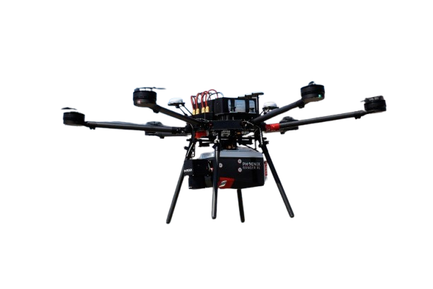
LiDAR Drone Payloads
High-Accuracy 3D Mapping Powered by LiDAR Technology
LiDAR technology allows drones to capture precise 3D terrain data for mapping, surveying, and inspection applications. Phoenix LiDAR systems provide reliable, high-density point clouds across a variety of platforms, from lightweight UAVs to manned aircraft.
At SISO Air, we help organizations select the right LiDAR payload based on mission requirements, data accuracy, and operational constraints. Every system is tested and calibrated to ensure you’re ready to capture high-quality data from day one.
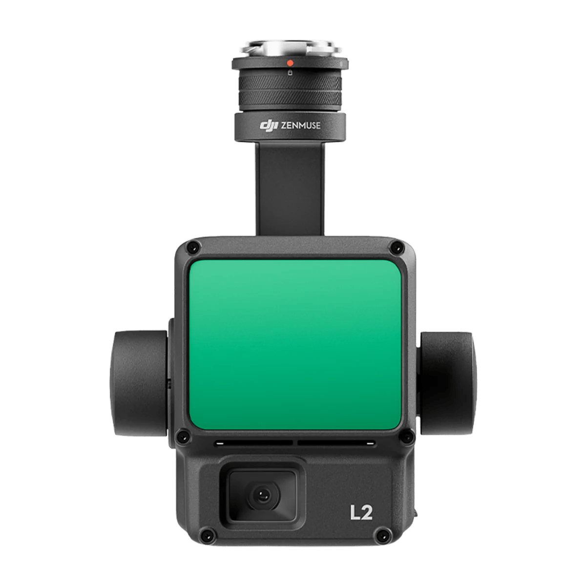
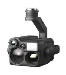
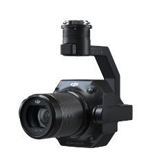
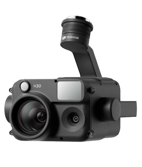
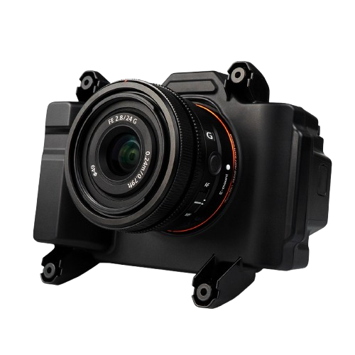
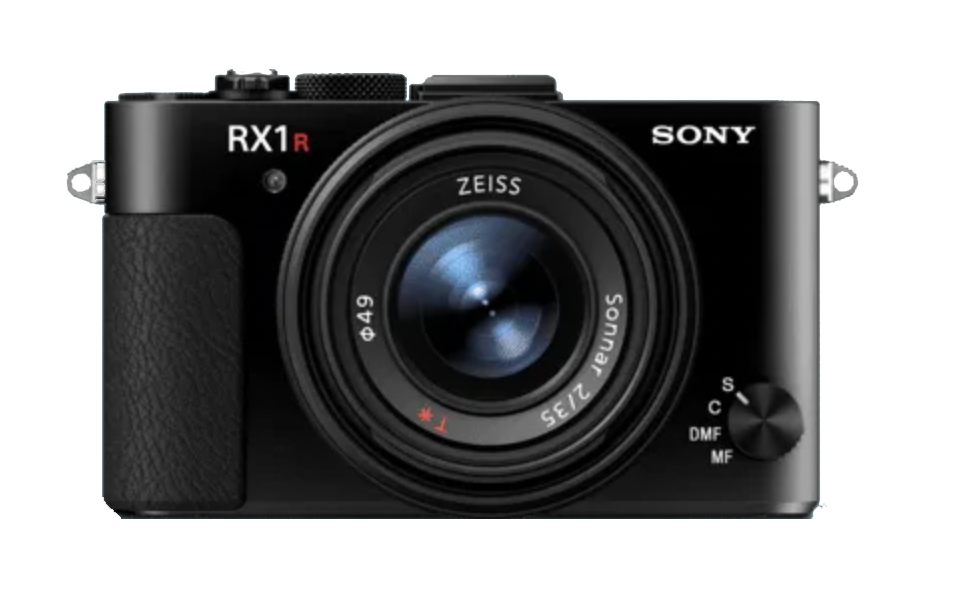
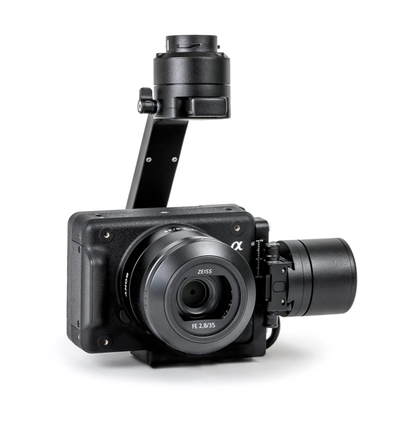
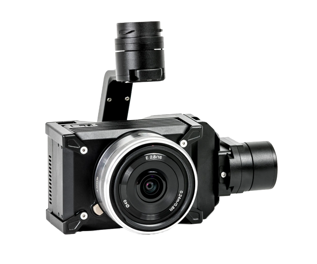
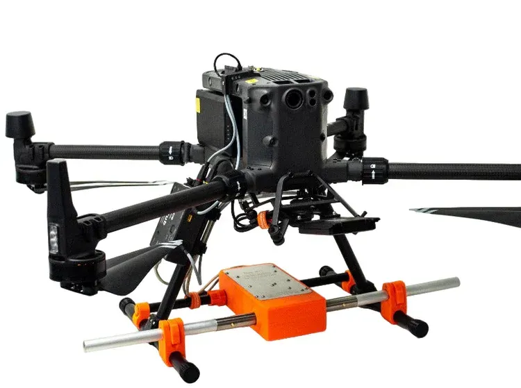
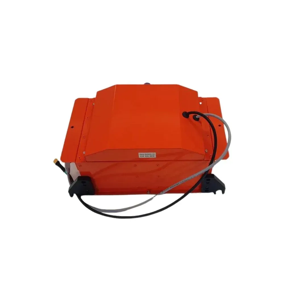
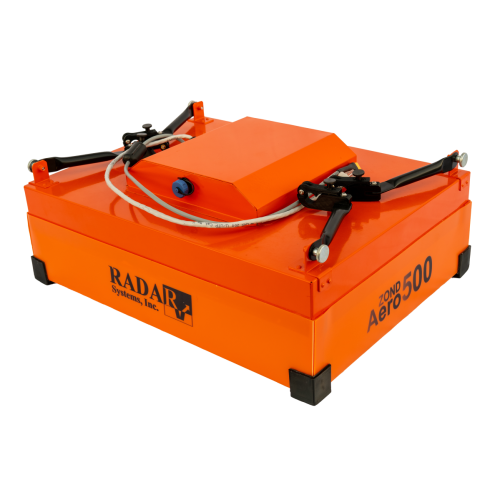
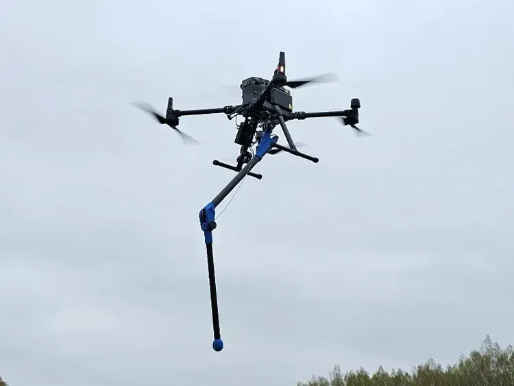
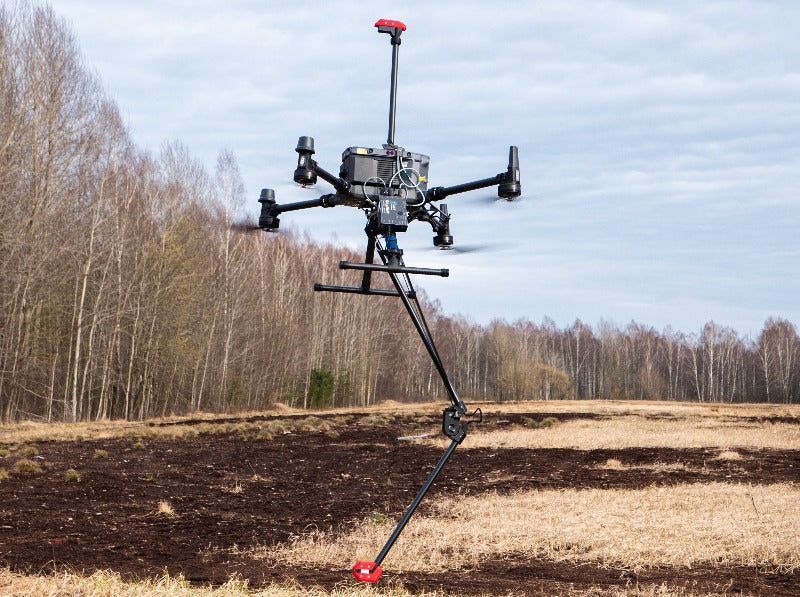
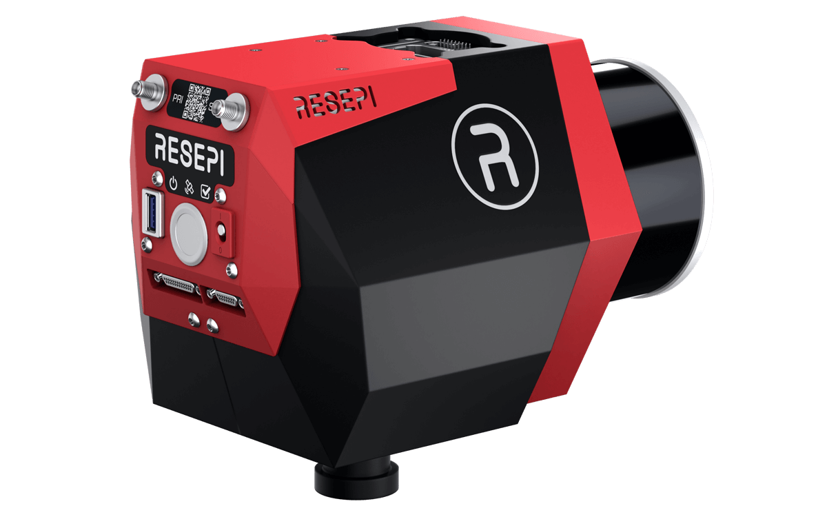
Phoenix LiDAR Payloads
All Phoenix LiDAR solutions are configured to meet your specific operational requirements and can be expanded with a range of compatible accessories. Available options include high resolution imaging, thermal and hyperspectral sensors, GNSS reference stations, ground control laptop packages, and various UAV platforms and supporting equipment. Each system is thoroughly tested to ensure it is properly calibrated and ready for deployment. These payloads are designed to work across multiple platforms and are not limited to a specific drone brand.

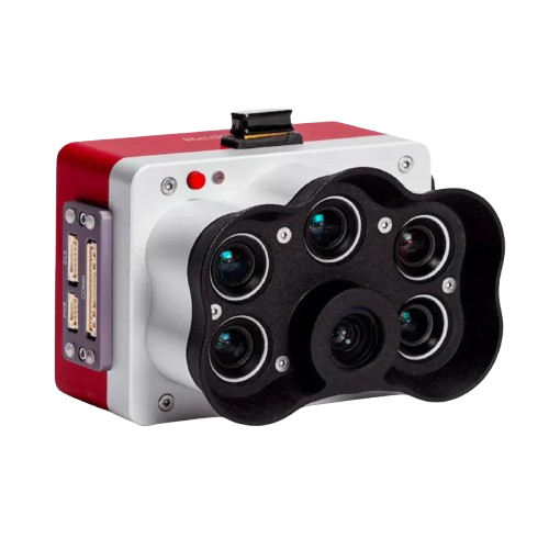
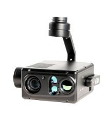
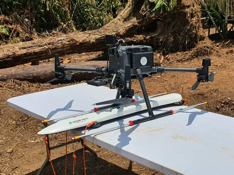
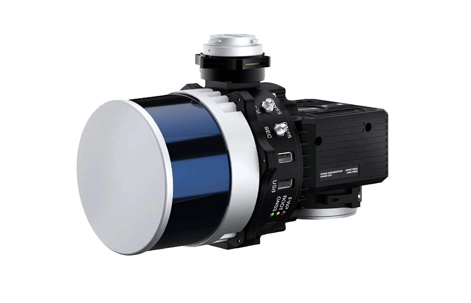
WINGTRA LiDAR Technology
Capture precise elevation data even in areas with dense vegetation using WINGTRA’s LiDAR sensor. This high-performance aerial scanning solution is designed for efficient surveying workflows and supports detailed terrain modeling and topographic analysis. With point densities of up to 200 points/m², it is well suited for applications such as mining, construction, urban planning, and environmental monitoring.
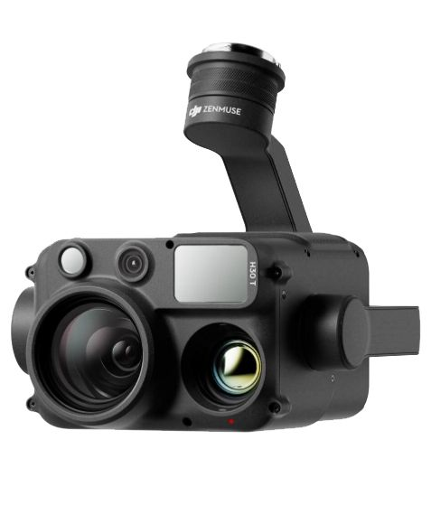
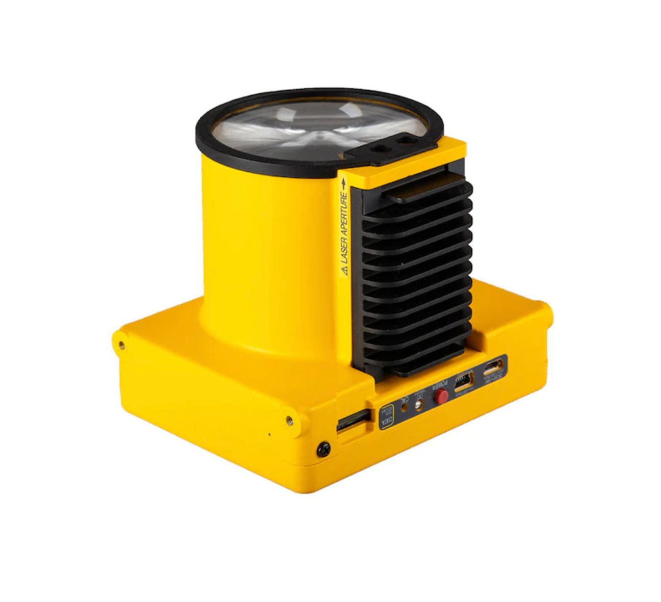
LiDAR Camera Payloads
| Payload | Platform Compatibility | Key Strength | Typical Applications |
|---|---|---|---|
| WINGTRA LiDAR | WINGTRA UAV | Large‑area LiDAR capture | Topographic surveys, mining, forestry |
| MINI RANGER‑3 LITE | UAV | Ultra‑lightweight, survey‑grade LIDAR | Small‑area UAV mapping |
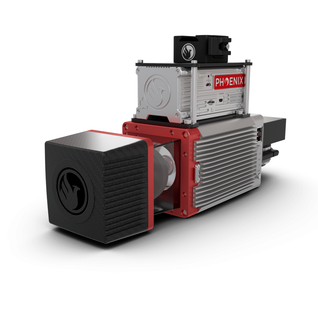
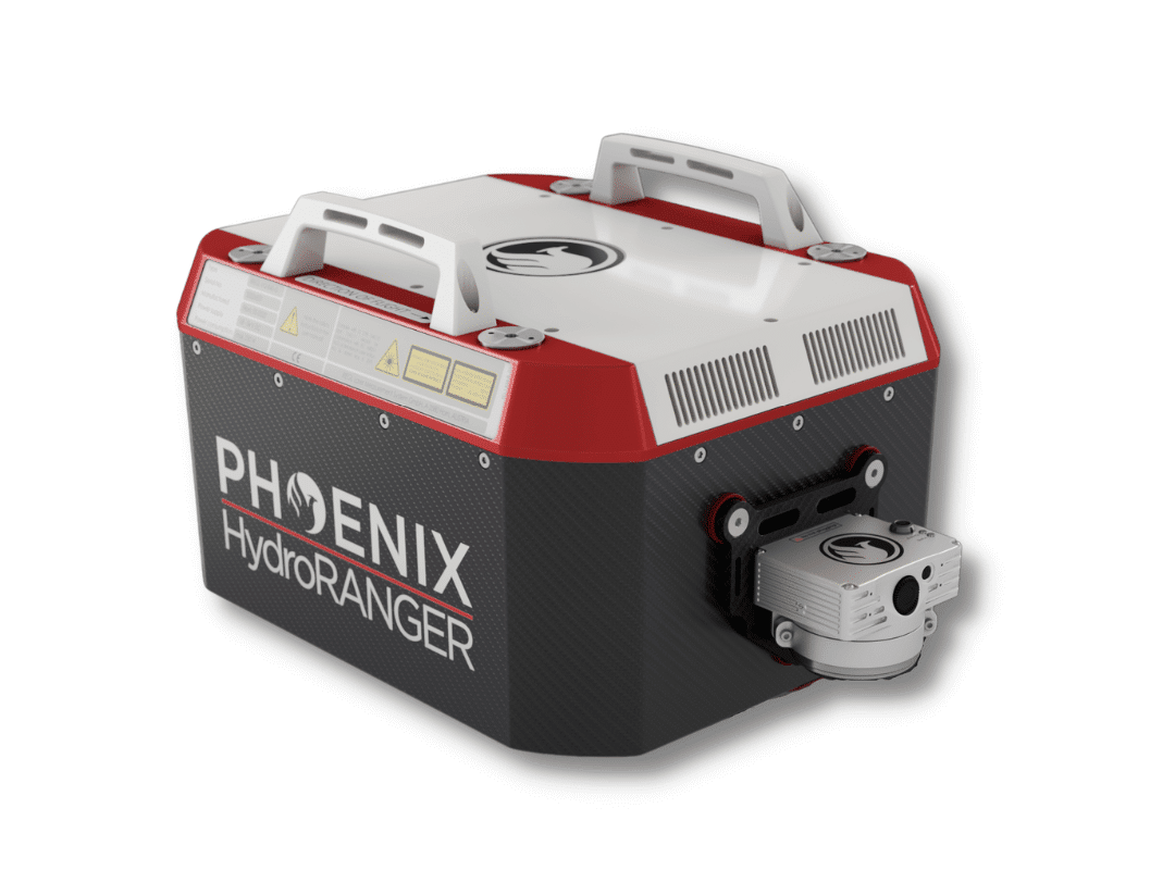
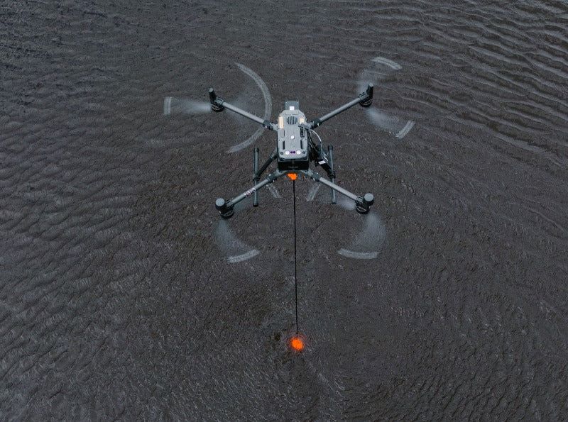
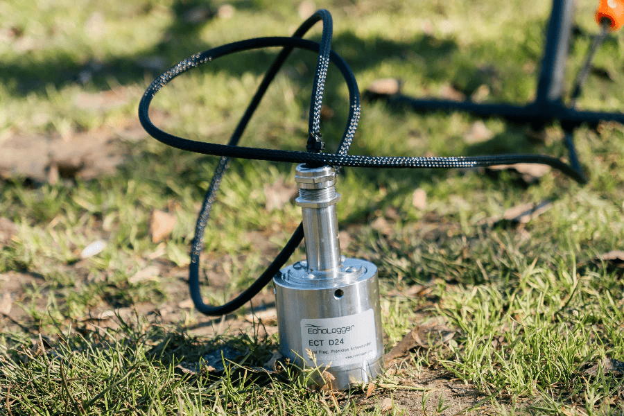
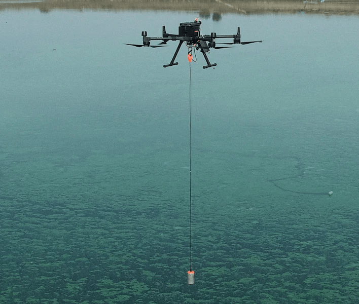
| HYDRORANGER | UAV | Dual topographic & bathymetric | Coastal and shoreline surveys |
| RANGER LR LITE | UAV, manned, mobile, VTOL, backpack | Long range, vegetative penetration | Large area mapping, forestry |
| RANGER UAV‑LITE | UAV, VTOL, helicopter, mobile, backpack | High pulse rate & high accuracy | Dense UAV mapping |
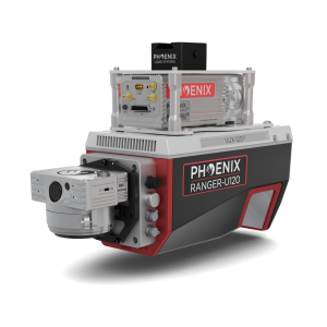
| RANGER U120 | Airborne | High density FOV | Corridor infrastructure mapping |
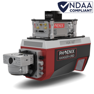
| RANGER U160 | Airborne | High density FOV | Vertical infrastructure surveys |
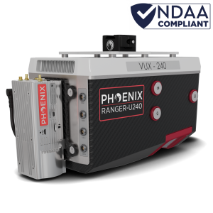
| RANGER U240 | Airborne | Wide FOV, fast pulse | Large corridor mapping |
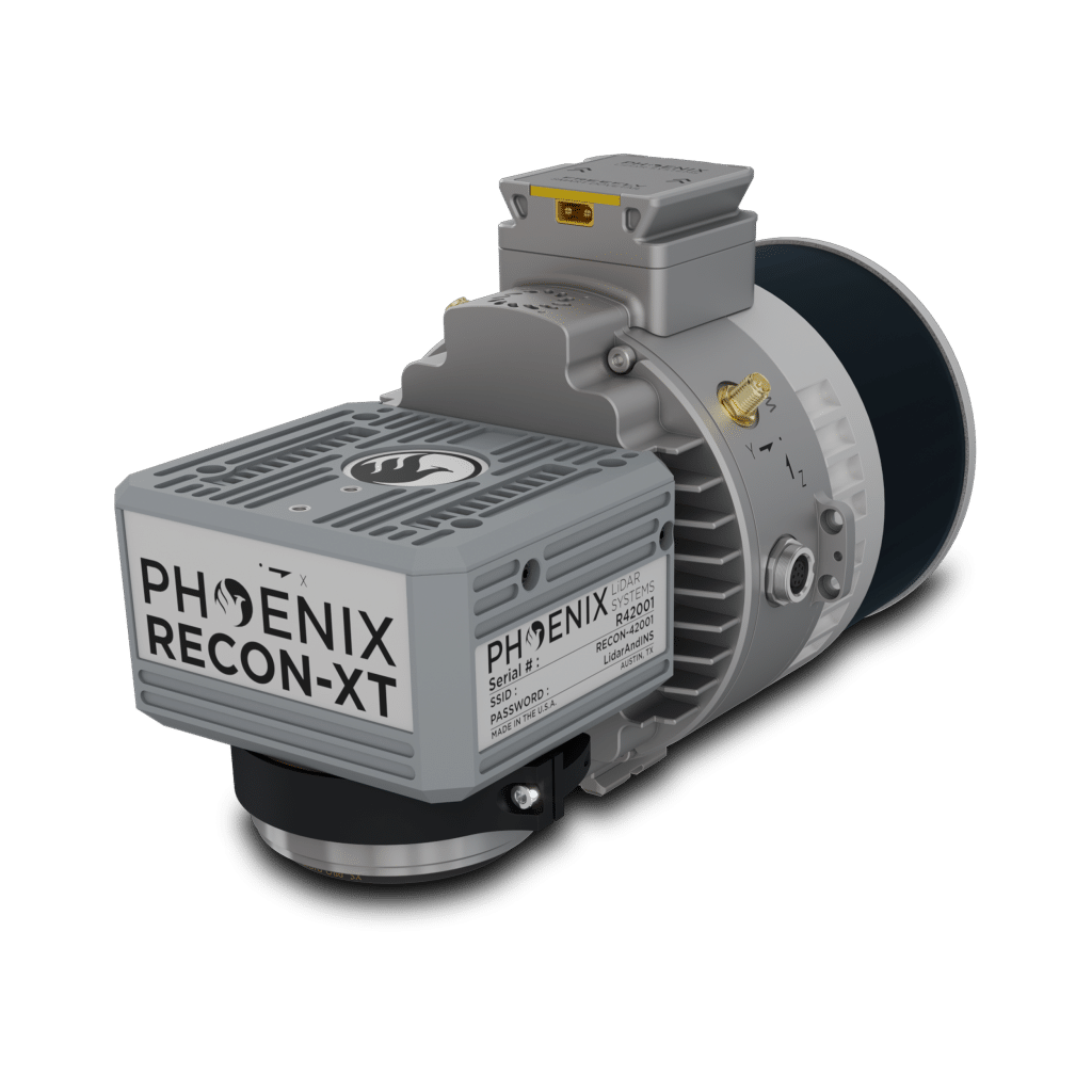
| RECON‑XT | DJI M300/M350, Freefly Astro | Budget entry LiDAR | Small survey areas |
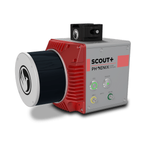
| SCOUT M2X | UAV, mobile, backpack | SLAM & high density | Dense vegetation & GNSS‑challenged |
Why Choose SISO Air for LiDAR Payloads
SISO Air helps you select the right LiDAR system for your mission, ensuring compatibility with your UAVs and workflow. Our team evaluates your operational requirements, data accuracy needs, and project scale to recommend solutions that maximize efficiency. Every system is tested and calibrated so you can begin collecting accurate, reliable data immediately.
Find the Right LiDAR Payload for Your Mission
Whether you are performing large-area mapping, corridor inspections, or environmental surveys, SISO Air can guide you to the ideal LiDAR payload. We provide expert recommendations, integration support, and training to help you get the most out of your drone technology.
Contact SISO Air today to discuss your LiDAR needs and explore the best options for your operations.