
Drone Surveying & Mapping Solutions
Drone Solutions Tailored to Your Industry
SISO Air supports a wide range of industries with advanced drone platforms, sensor payloads, software, and training. Our solutions are designed to help organizations capture accurate data, streamline workflows, and deliver reliable results across diverse applications.
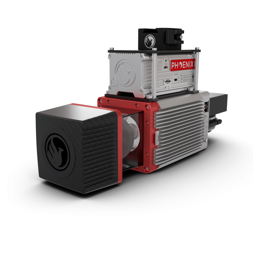
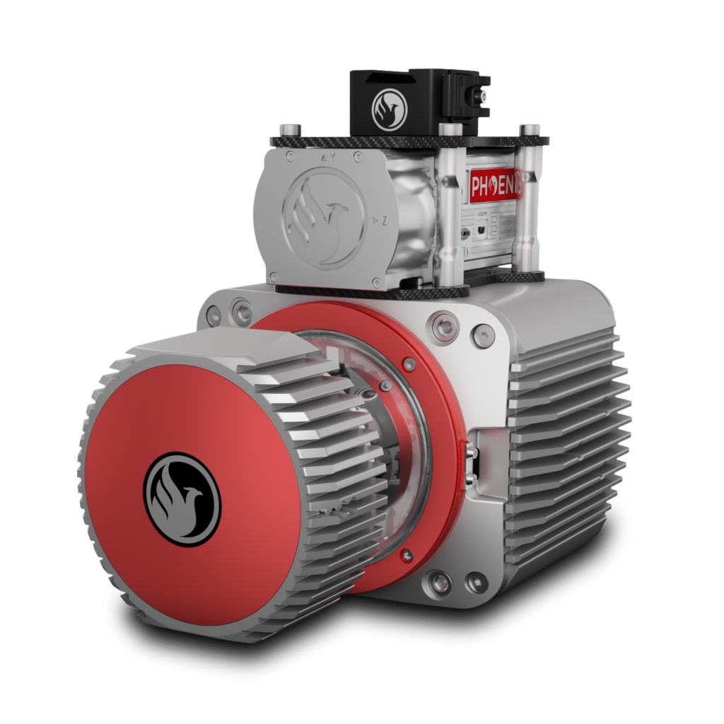
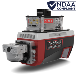
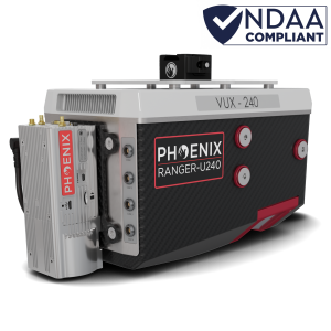
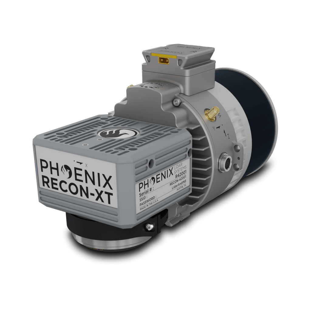
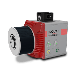
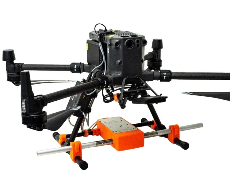
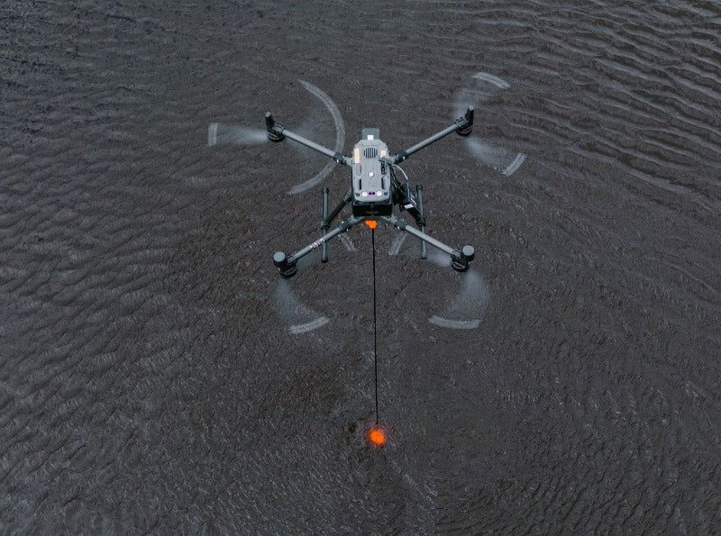
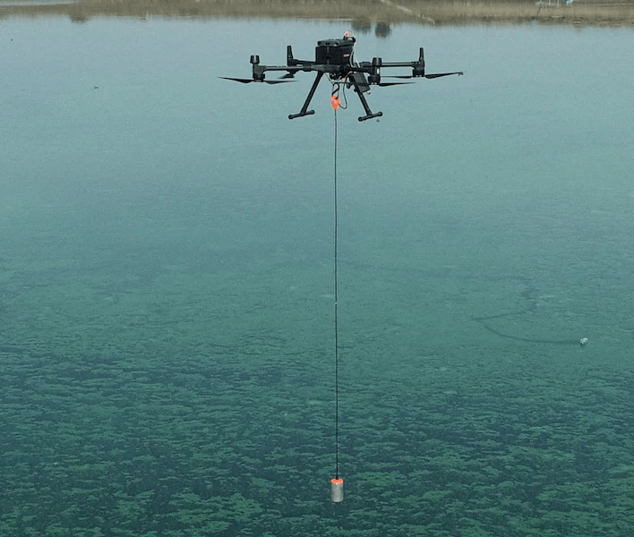
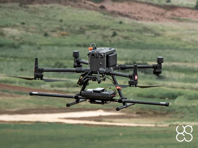
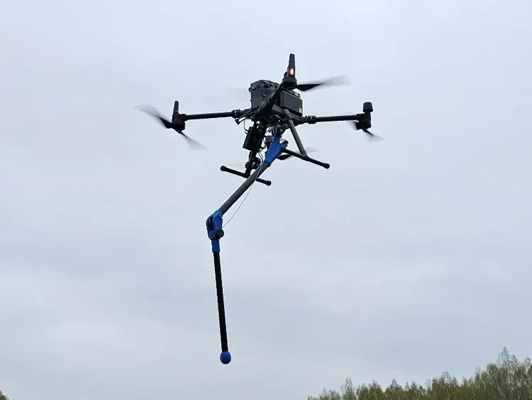
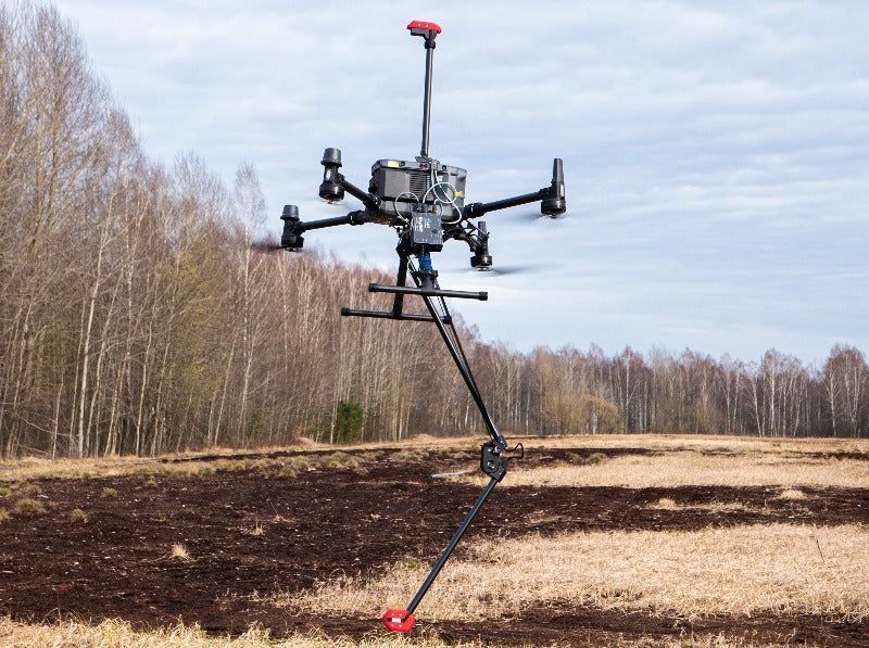
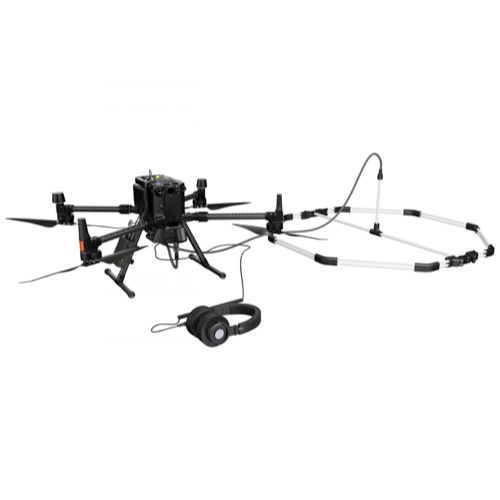
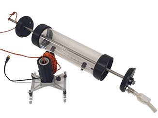
Accurate geospatial data is critical for planning, engineering, and development projects. Drone surveying and mapping technologies provide a faster and more efficient way to collect detailed topographic data across large areas while maintaining the precision required for professional workflows. SISO Air solutions combine aerial and terrestrial data collection methods to support surveyors, engineers, and project managers with reliable mapping results.
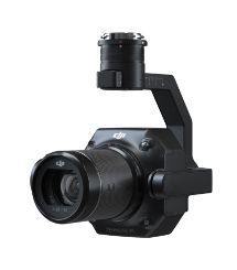
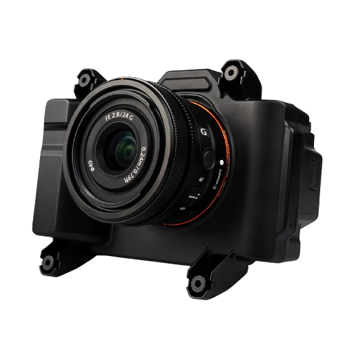
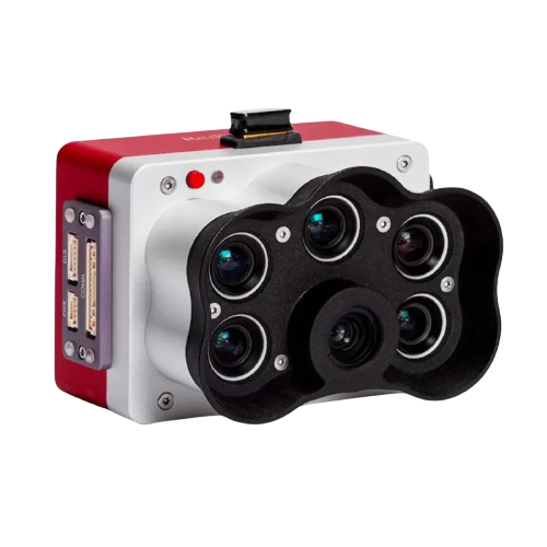
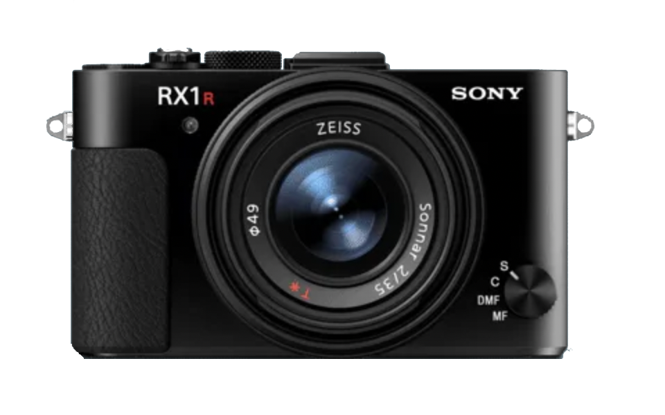
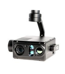
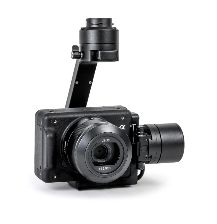
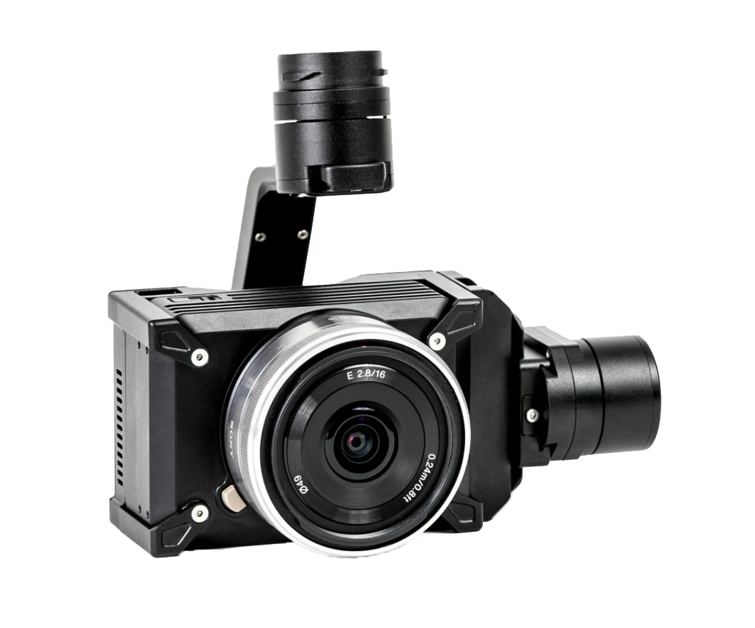
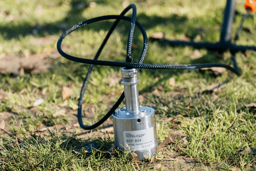
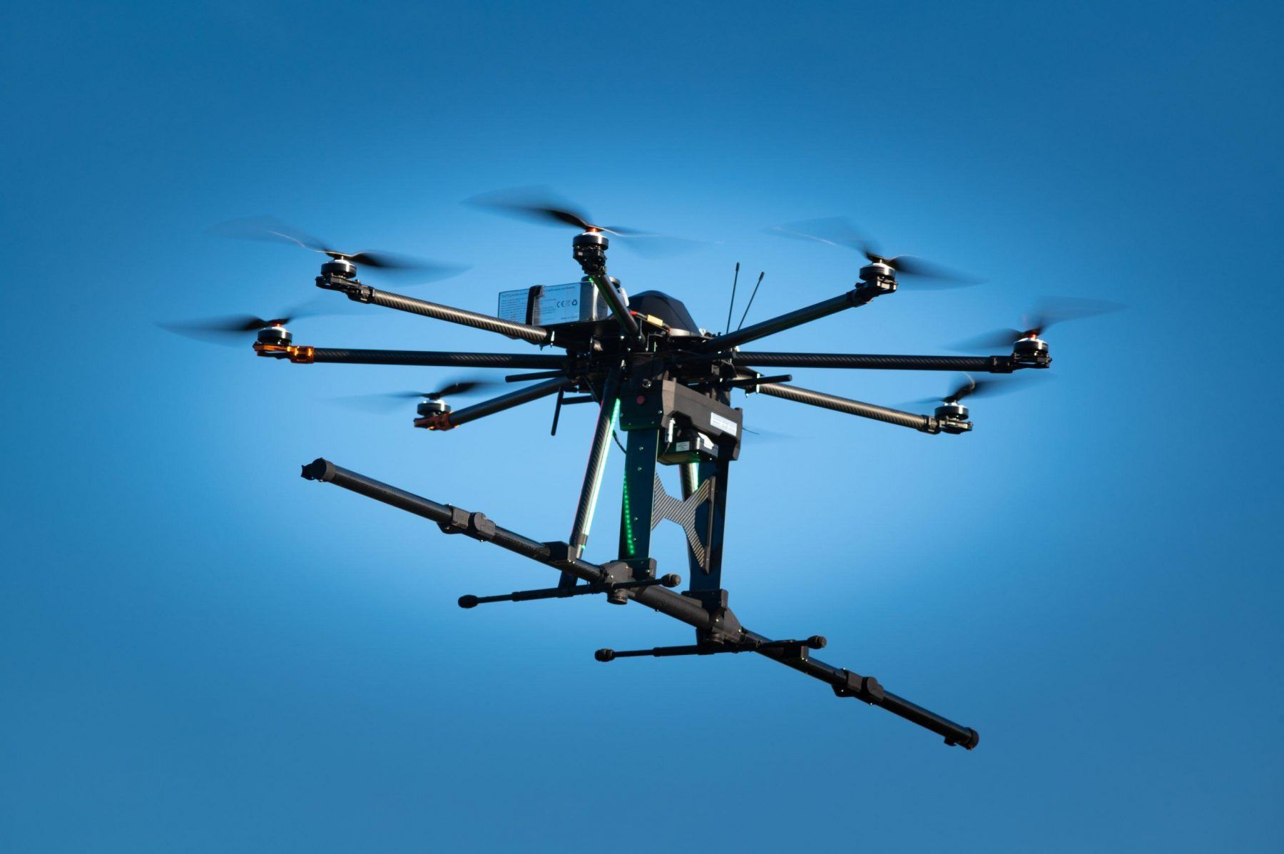
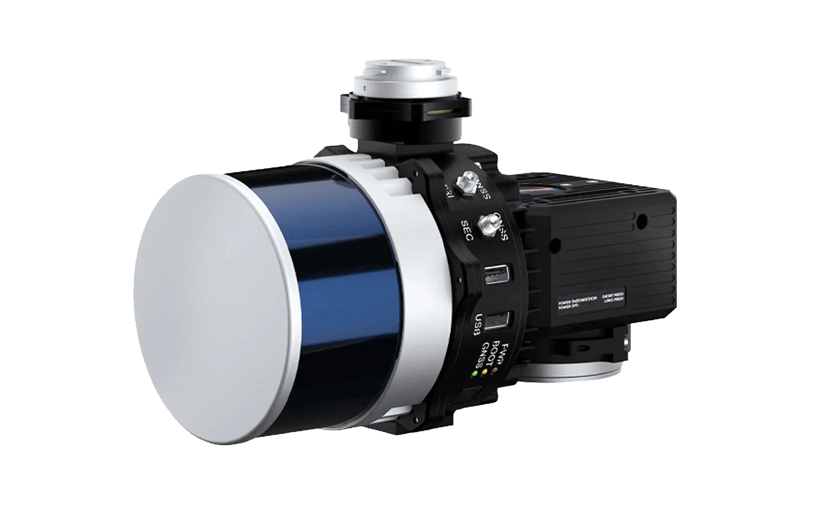
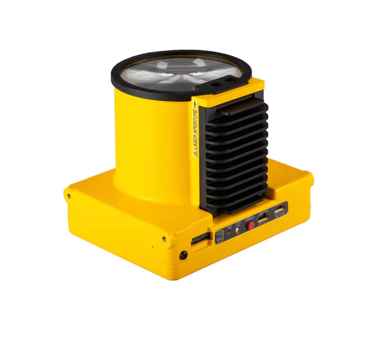
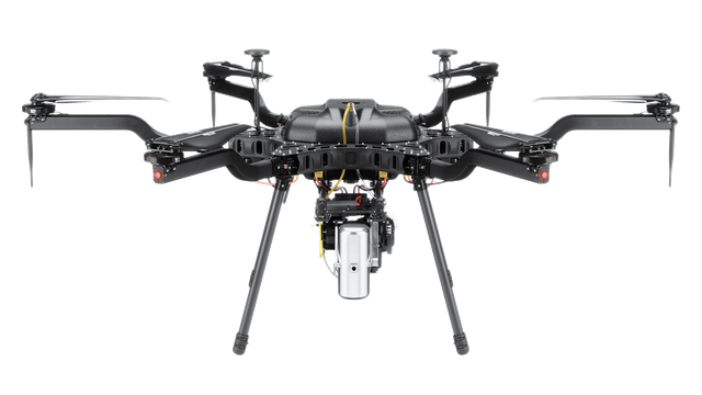
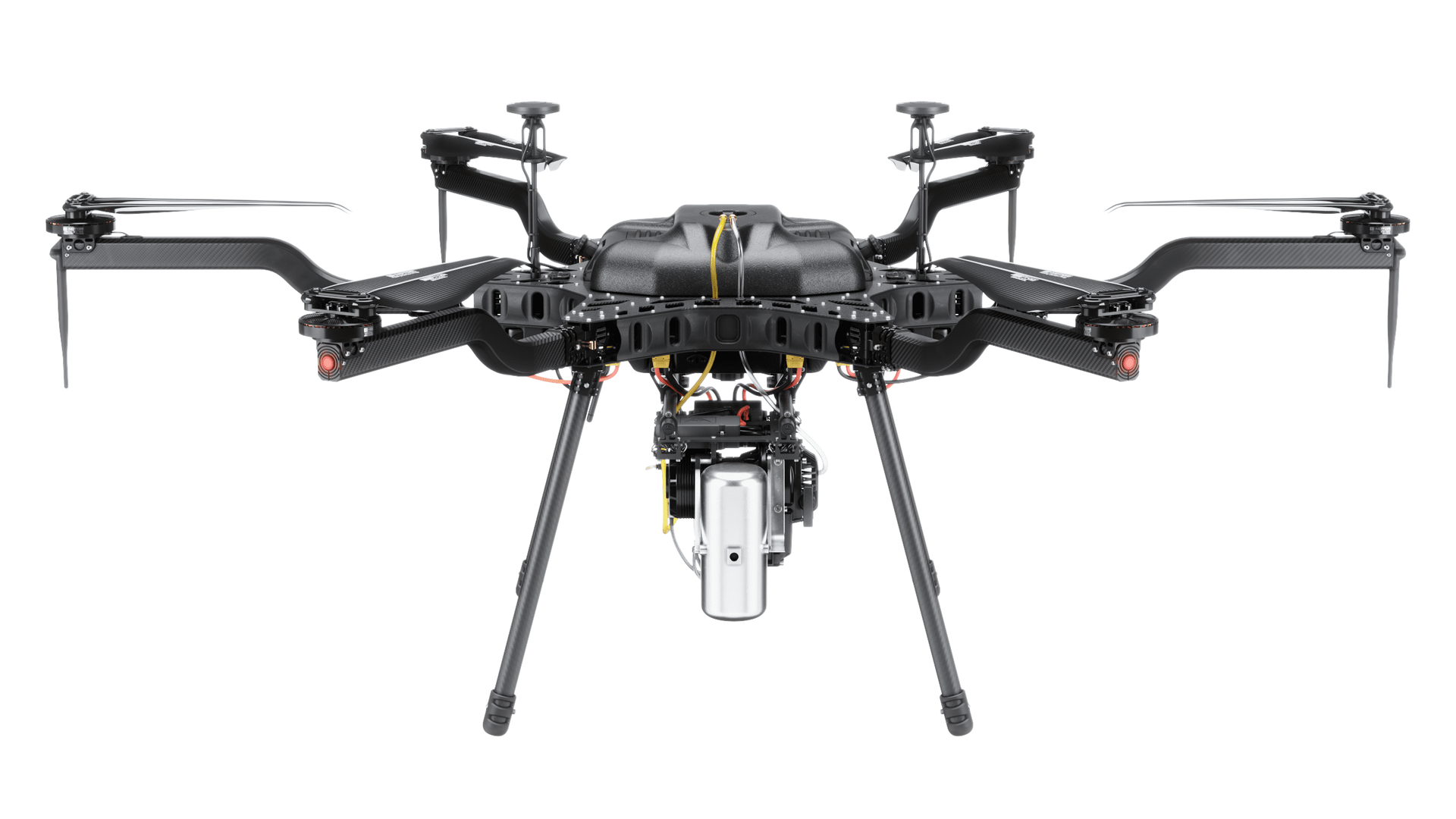
By using advanced drone platforms equipped with high-resolution cameras, RTK positioning systems, and specialized sensors, teams can gather accurate terrain data quickly while reducing the time and labor traditionally required for field surveys. This approach improves efficiency while maintaining the repeatability and precision that modern surveying projects demand.
Accurate Topographic Mapping
Drone mapping allows survey teams to capture detailed topographic information across large areas in a fraction of the time required by traditional ground methods. Aerial imagery is processed into high-resolution orthomosaic maps, digital surface models, and terrain models that support planning, engineering design, and land development.
These datasets provide precise elevation measurements and surface analysis that help professionals better understand site conditions before construction or infrastructure projects begin.
Boundary and Land Survey Support
Drone data collection enhances traditional land surveying workflows by providing comprehensive aerial imagery and geospatial data that can support boundary identification and property mapping. When combined with ground control points and RTK positioning, aerial surveys deliver accurate measurements suitable for professional survey applications.
This hybrid approach allows survey teams to document large properties, infrastructure corridors, and development sites more efficiently while maintaining the accuracy required for regulatory and engineering standards.
Large-Area Data Collection
Drone mapping platforms are designed to efficiently capture data across expansive areas such as construction developments, mining operations, agricultural land, and transportation corridors. Automated flight planning ensures consistent data coverage while minimizing time spent in the field.
This capability allows project teams to collect comprehensive site information quickly and repeat surveys regularly to monitor changes over time.
Key Applications for Drone Surveying and Mapping
- Topographic site surveys
- Land development planning
- Construction site mapping
- Mining and stockpile measurement
- Infrastructure corridor mapping
- Agricultural land analysis
- Environmental monitoring
- Terrain modeling and elevation mapping
Reliable Data for Planning and Engineering
Surveying and mapping professionals rely on accurate data to guide design, development, and construction decisions. Drone-based data collection provides high-resolution imagery and precise geospatial models that integrate seamlessly with modern GIS and engineering software platforms.
SISO Air solutions help organizations streamline data acquisition and processing while maintaining the accuracy and repeatability required for professional surveying workflows. By combining aerial intelligence with advanced processing tools, teams gain clearer insights into land conditions and project environments.
Why Choose SISO Air
We don’t take a one-size-fits-all approach. Our team works closely with organizations to understand industry-specific challenges, recommend the right technology, and provide training and support that enables long-term success.
Find the Right Solution for Your Industry
Every project comes with its own challenges, requirements, and data goals. SISO Air works closely with teams across surveying, construction, energy, public safety, and engineering to help identify the right combination of platforms, sensors, software, and training for the job.
Whether you’re exploring new technology or refining an existing workflow, our team is here to help you move forward with confidence.