
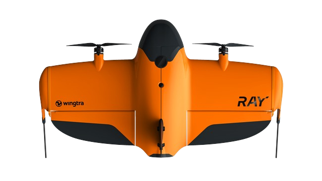
WINGTRA Cameras
Survey-Grade Aerial Mapping Powered by Wingtra Payloads
WINGTRA camera payloads are designed to deliver high accuracy aerial mapping and survey data for professional drone operations. Built specifically for the WINGTRAOne VTOL mapping platform, these cameras support a wide range of applications including surveying, construction monitoring, agriculture analysis, and 3D modeling.
At SISO Air, we help organizations select the right WINGTRA camera payload based on their mapping requirements, accuracy needs, and workflow goals. With multiple sensor options available, from high resolution RGB cameras to advanced multispectral imaging, WINGTRA payloads allow teams to capture reliable survey grade data efficiently in the field.

About WINGTRA Camera Payloads
WINGTRA payloads are engineered for precision aerial mapping and data collection. Each camera integrates with WINGTRA's PPK geotagging system, allowing operators to produce highly accurate datasets while minimizing the need for large numbers of ground control points.
These cameras support a variety of mapping workflows including:
• High resolution photogrammetry
• Construction and infrastructure monitoring
• Agricultural and environmental analysis
• 3D modeling and digital twin creation
• Large area topographic mapping
By pairing the right camera with the WINGTRA platform, operators can capture detailed imagery, accurate terrain models, and actionable insights from a single flight mission.
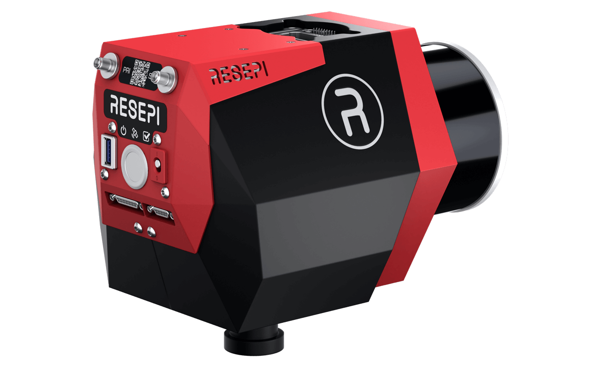
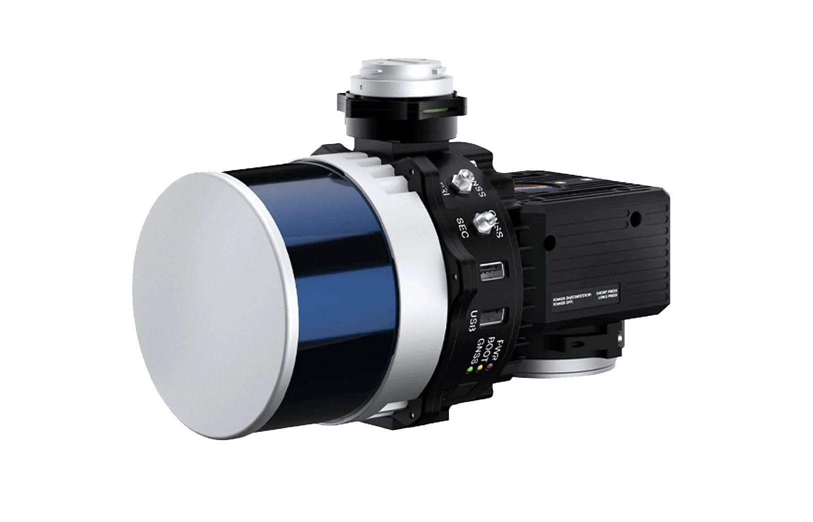
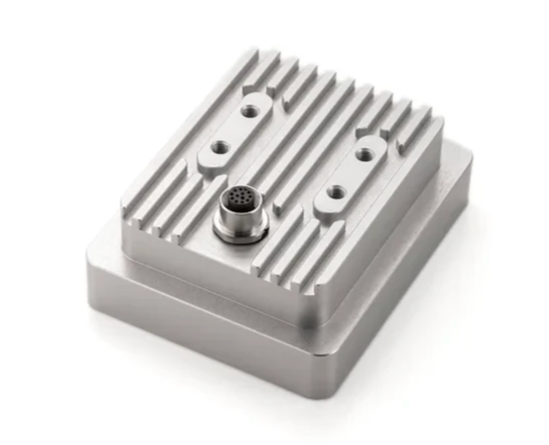
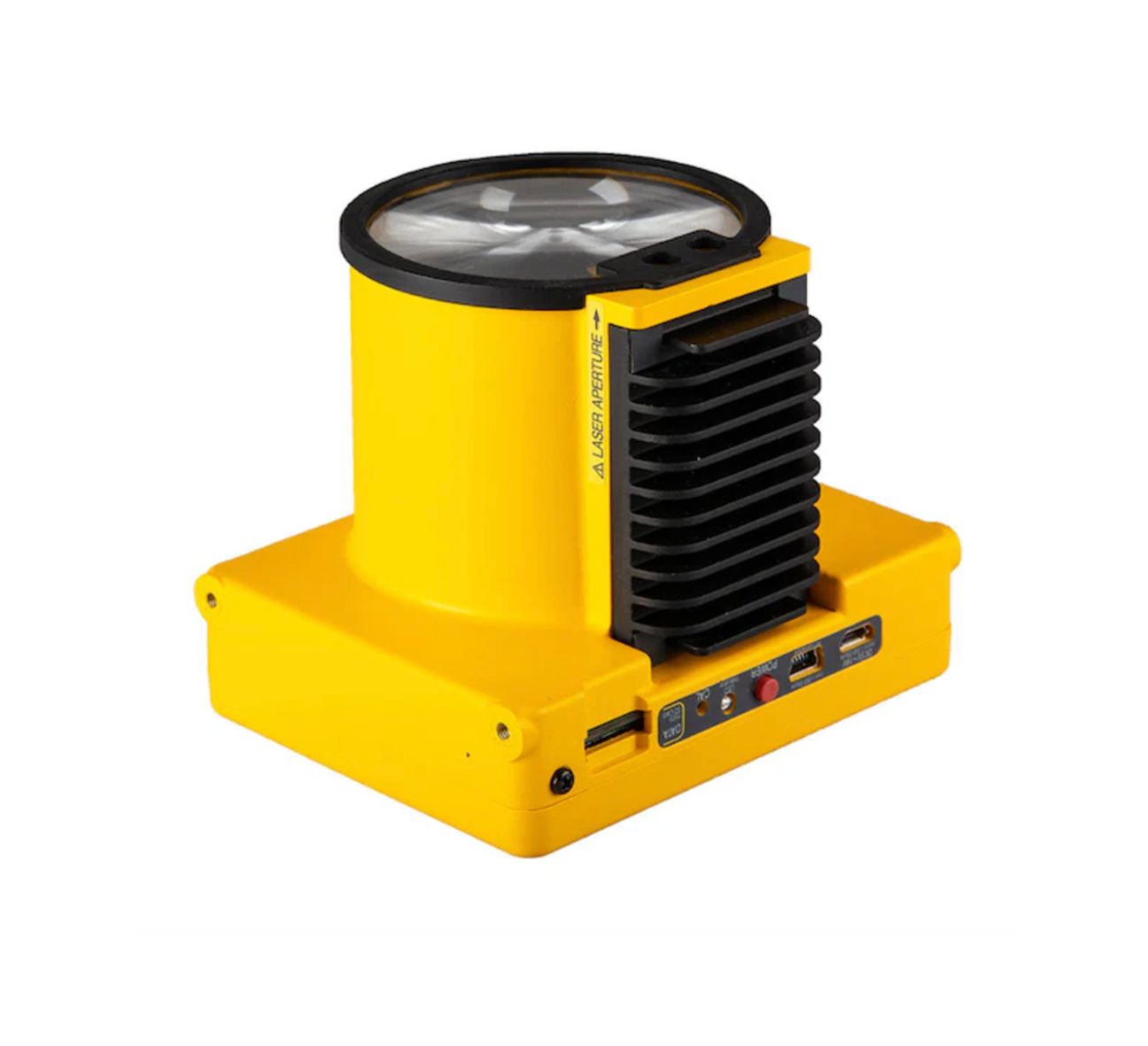
Available WINGTRA Camera Payloads
WINGTRA Camera Comparison Chart
| Camera | Sensor Type | Resolution | Lens | Lowest GSD | Coverage at 120 m | Accuracy (PPK) | Best Applications |
|---|---|---|---|---|---|---|---|
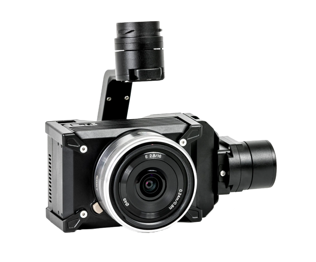
| RGB61 | Full frame RGB | 61 MP | 24 mm | 0.7 cm per pixel | Up to 310 ha | 3 cm | Large area mapping and surveying |
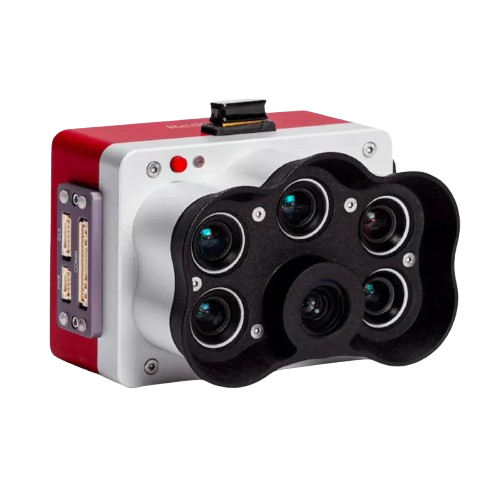
| RedEdge-P | Multispectral + Panchromatic | 5 bands + pan | 5.5 mm | 2 cm per pixel | Up to 160 ha | 6 cm | Agriculture and vegetation analysis |
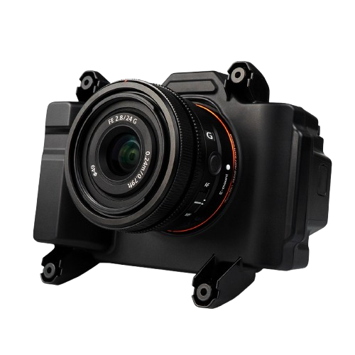
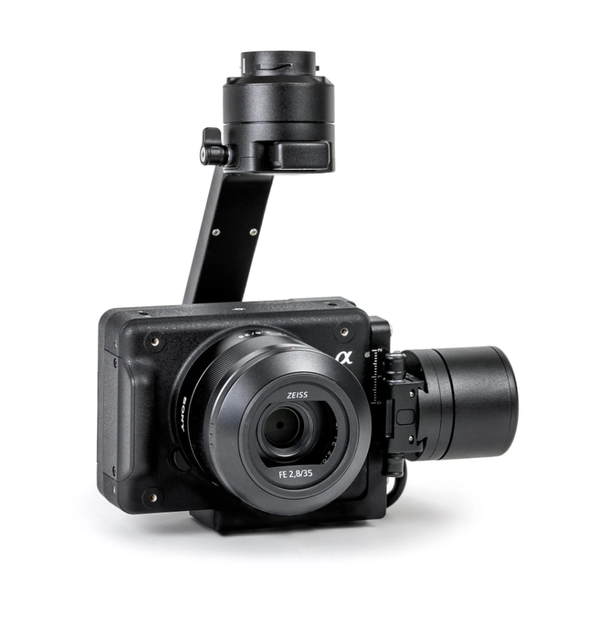
| a6100 Oblique | APS-C RGB | 24 MP | 12 mm | 1.6 cm per pixel | Up to 180 ha | 3 cm | 3D modeling and digital twins |
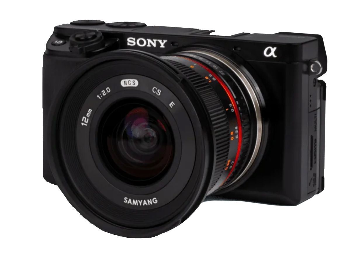
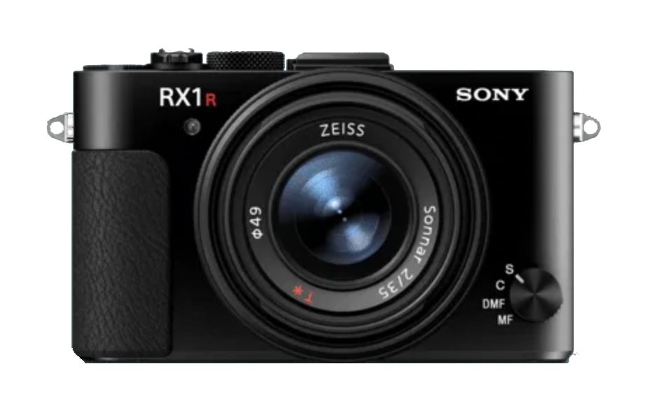
| RX1R II | Full frame RGB | 42 MP | Fixed lens | 0.7 cm per pixel | Large area coverage | 1 to 3 cm | Survey grade photogrammetry |
Why Choose WINGTRA Payloads?
Selecting the right payload is essential for maximizing the performance of your WINGTRA drone system. At SISO Air, our team helps customers evaluate mission requirements, accuracy targets, and data outputs to determine the best sensor for their operations.
In addition to supplying WINGTRA hardware, we provide consultation, training, and workflow guidance to ensure your team can confidently deploy these advanced mapping systems.
Contact SISO Air Today
To learn more about WINGTRA camera payloads or determine which sensor best fits your application, contact SISO Air. Our team can help with product comparisons, training options, and deployment planning to support your aerial mapping operations.

Contact SISO Air Today
To learn more about WINGTRA camera payloads or determine which sensor best fits your application, contact SISO Air. Our team can help with product comparisons, training options, and deployment planning to support your aerial mapping operations.