
Wingtra Drones
Professional Wingtra Survey Drone Solutions from SISO Air
WINGTRA develops survey-grade aerial mapping solutions trusted by geospatial professionals worldwide. Known for combining fixed-wing efficiency with vertical takeoff and landing, WINGTRA platforms deliver fast coverage, high accuracy, and reliable performance across urban and remote environments.

Designed for Surveyors
WingtraRAY is engineered around the real demands of aerial surveying. Its vertical takeoff and landing capability lets surveyors operate from confined sites without launch equipment, while its fixed-wing efficiency delivers fast, repeatable coverage across large areas. With modular payload support and industry-leading mission performance, WingtraRAY captures survey-grade data that integrates directly into CAD and GIS workflows, enabling confident decision-making from the first flight to final deliverables.
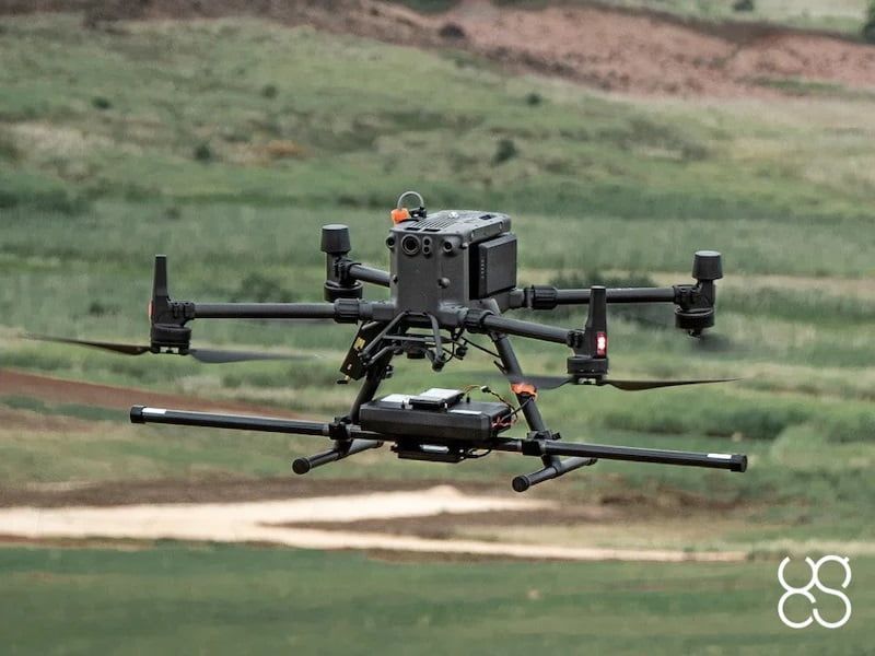
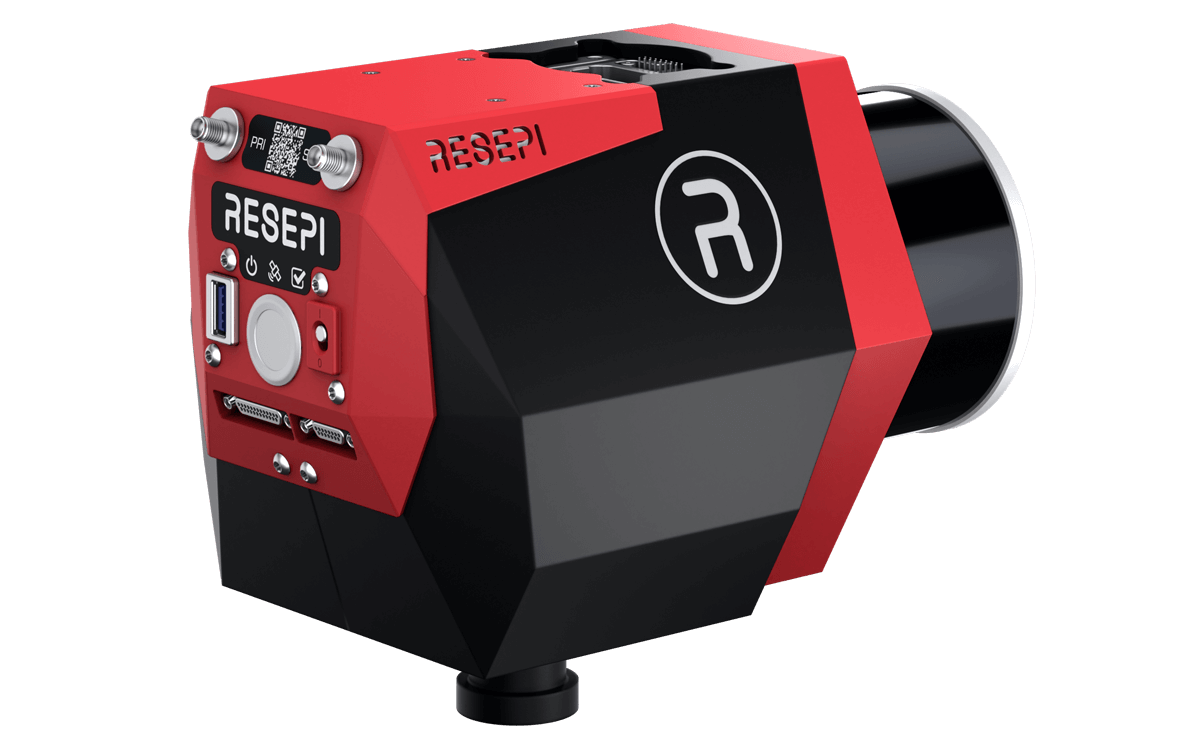
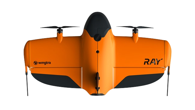
WingtraRAY
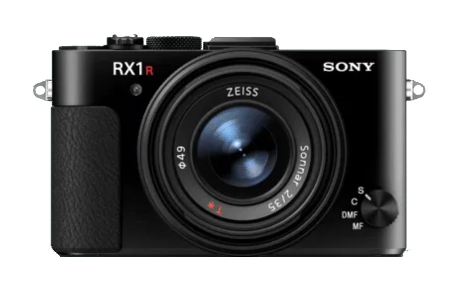
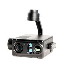
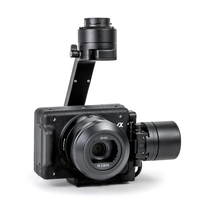
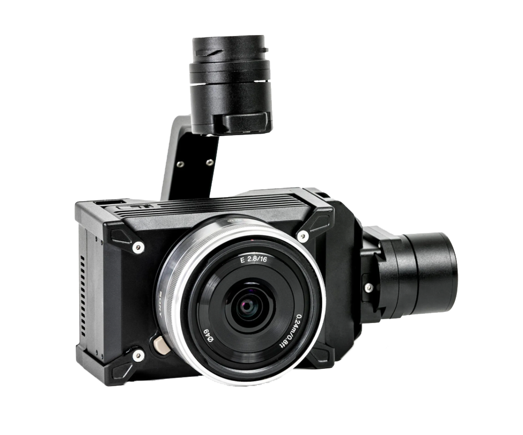
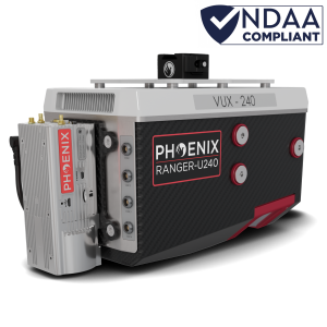
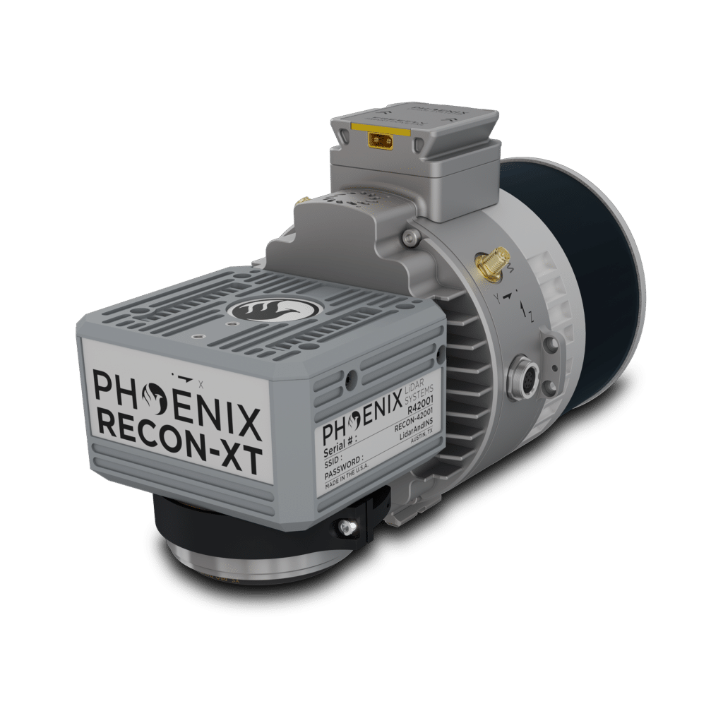
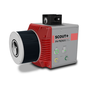
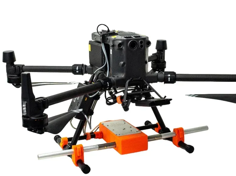
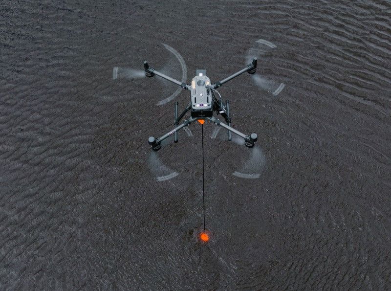
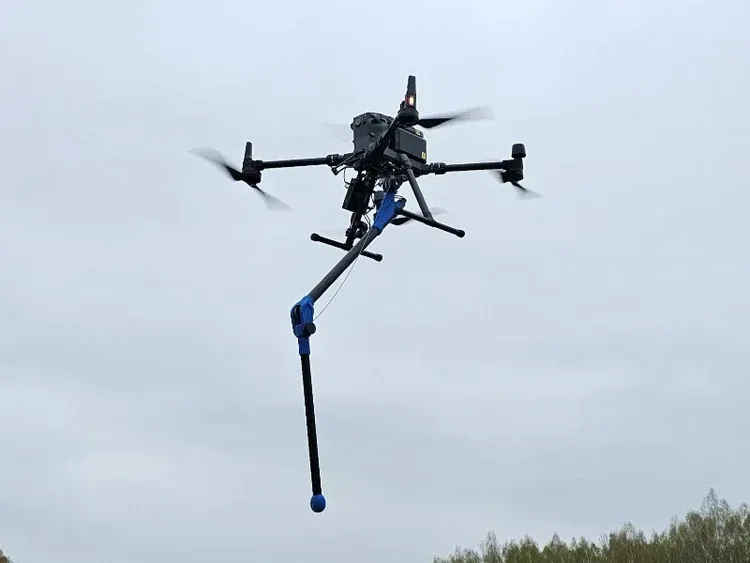
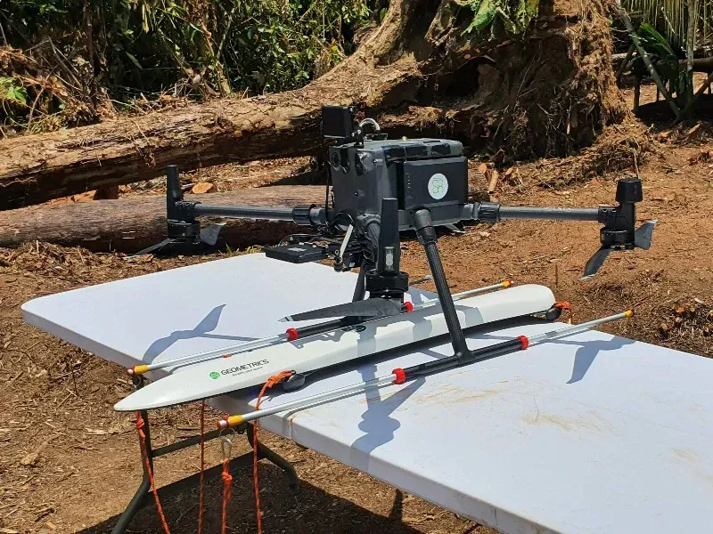
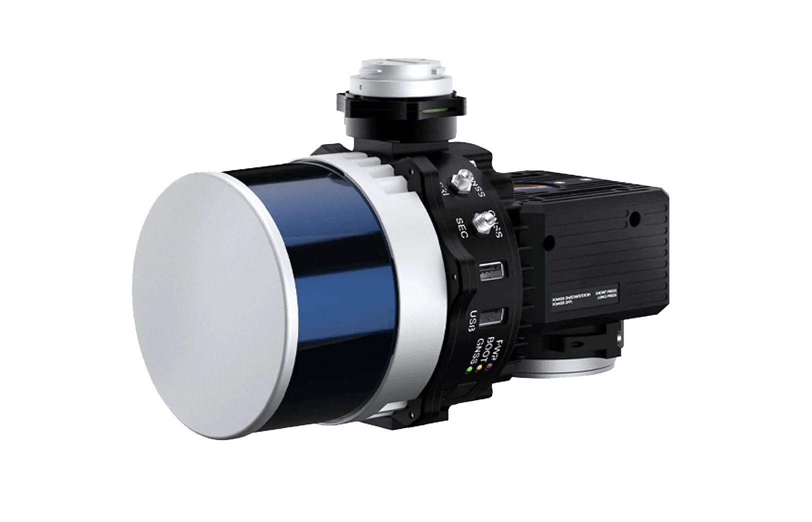
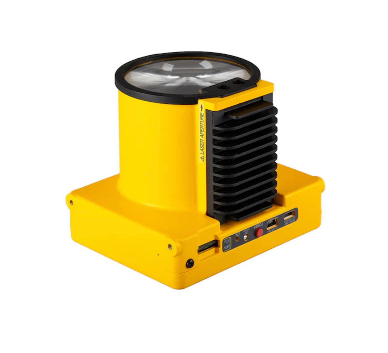
The WingtraRAY is a fixed-wing VTOL survey drone designed for high-performance aerial mapping and geospatial data collection. It combines vertical takeoff and landing with the efficiency and range of a fixed-wing aircraft, allowing operators to launch from confined job sites while covering large areas in fewer flights.
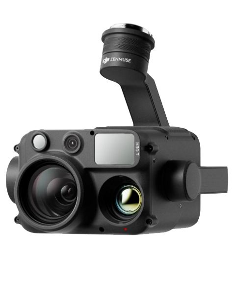
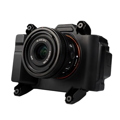
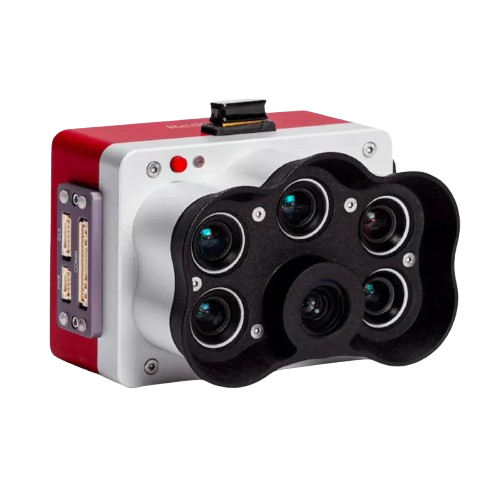
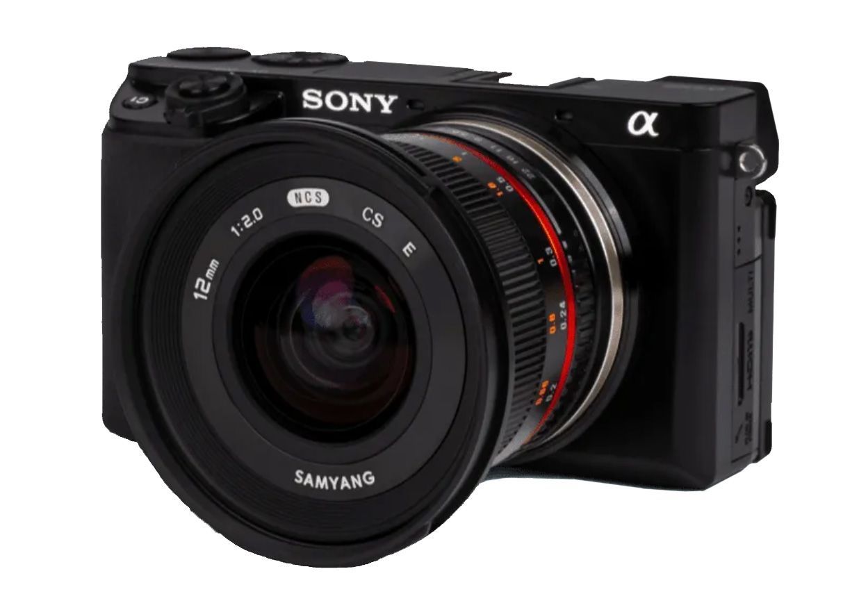
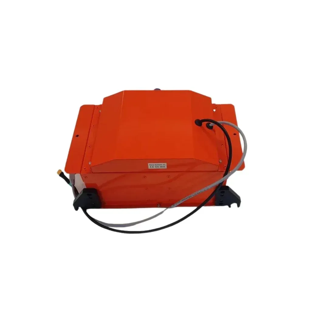
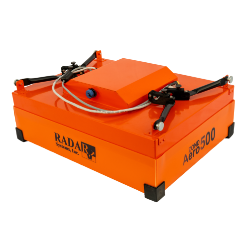
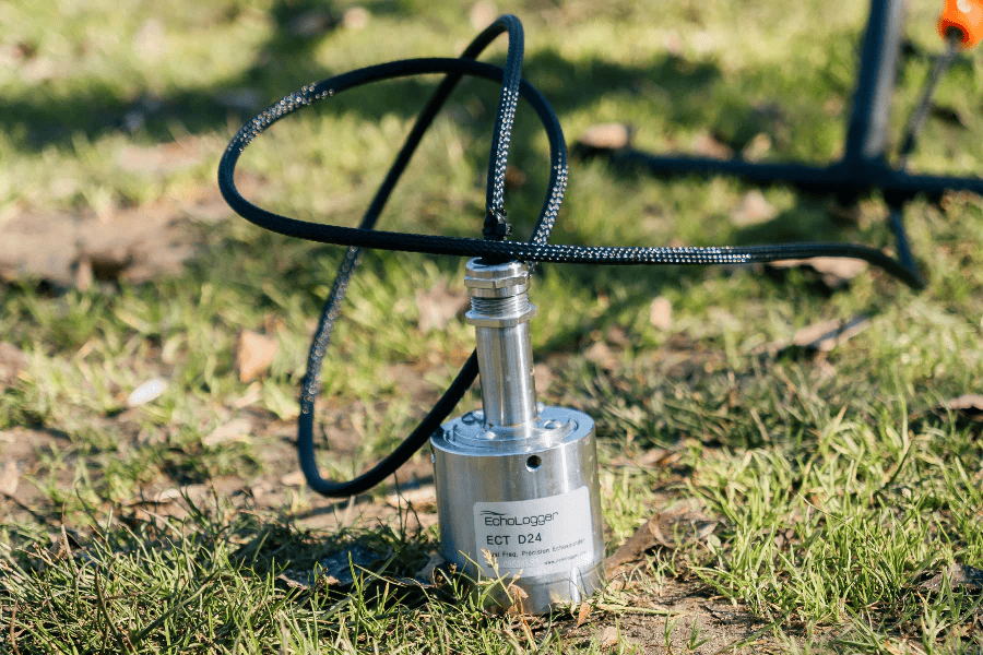
With support for high-resolution photogrammetry, multispectral imaging, and LiDAR payloads, WingtraRAY adapts to a wide range of surveying applications including construction, urban planning, agriculture, and environmental monitoring. Long flight times and efficient coverage help reduce time in the field, while survey-grade accuracy and direct compatibility with CAD and GIS workflows ensure reliable, repeatable results from data capture through final deliverables.
Vertical Takeoff and Landing
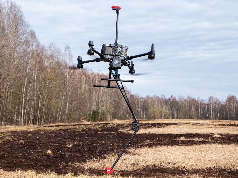
WingtraRAY launches and lands vertically, allowing operations from tight, confined spaces without the need for runways or launch equipment. This makes it well suited for urban sites, construction zones, and remote locations.
Fixed-Wing Efficiency
Once airborne, WingtraRAY transitions to fixed-wing flight, delivering long-range efficiency and stable performance. This enables fast coverage of large areas with fewer flights compared to multirotor platforms.
Confident Mission Planning
Adaptive flight speeds and optimized flight planning help ensure complete coverage and consistent results, even in complex or variable terrain.
Reliable Performance in Any Environment
The combination of VTOL launch, stable fixed-wing flight, and robust system design allows WingtraRAY to operate reliably in both urban corridors and rural landscapes.
Survey-Grade Deliverables
WingtraRAY produces high-quality data that integrates seamlessly into CAD and GIS workflows, reducing the need for re-flights and supporting efficient project turnaround.
PAYLOAD CAPACITY
2.75 lb / 1.25 kg
WIND RESISTANCE
Up to 40 MPH gusts
CONNECTIVITY
Radio + LTE
COVERAGE
Up to 1,360 acres per flight
CRUISE SPEED
36–49 mph
DESIGN
Fixed-wing VTOL
Technical Highlights
WingtraRAY is engineered to deliver high performance across a wide range of surveying conditions, combining efficiency, stability, and reliability in a single fixed-wing VTOL platform. Its technical capabilities support large-area coverage, consistent data quality, and dependable operation in challenging environments, helping teams complete projects faster while maintaining survey-grade results.
Supported by SISO Air
SISO Air works with customers to configure WingtraRAY for specific project needs, provide hands-on training, and support long-term success in the field. Our consultative approach ensures the platform fits your workflow, not the other way around.
Contact SISO Air For Your WingtraRAY Drone
Explore how WingtraRAY can improve your surveying workflow. Contact SISO Air to discuss payload options, training, and deployment strategies tailored to your projects.

Contact SISO Air For Your WingtraRAY Drone
Explore how WingtraRAY can improve your surveying workflow. Contact SISO Air to discuss payload options, training, and deployment strategies tailored to your projects.