
Drone Solutions for Government & Defense
Drone Solutions Tailored to Your Industry
SISO Air supports a wide range of industries with advanced drone platforms, sensor payloads, software, and training. Our solutions are designed to help organizations capture accurate data, streamline workflows, and deliver reliable results across diverse applications.
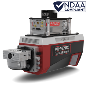
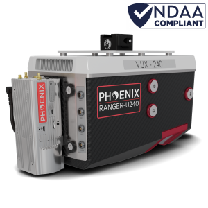
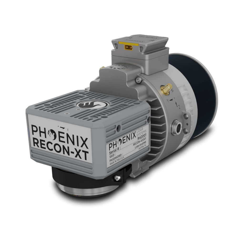
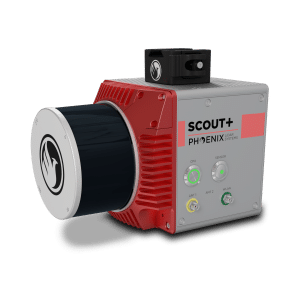
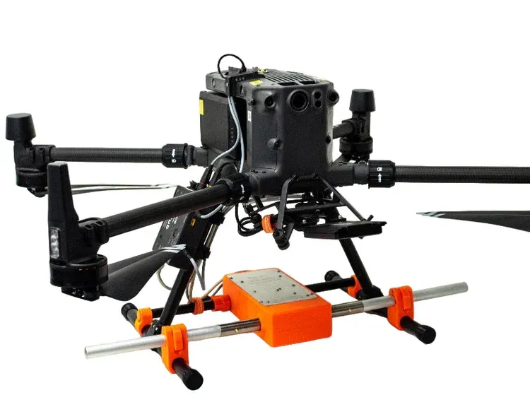
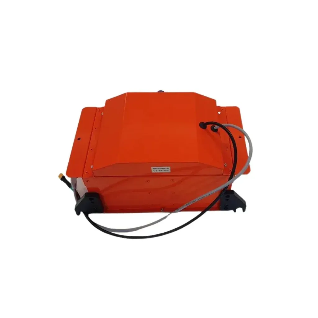
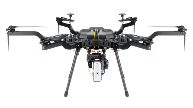
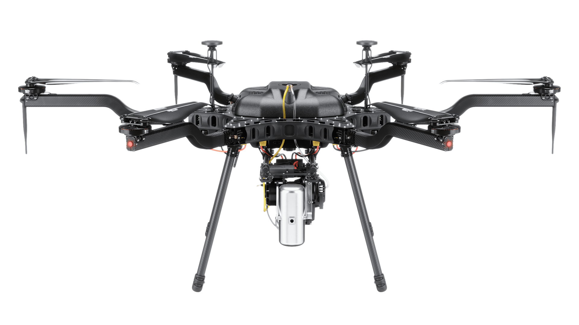
Government agencies and defense organizations require reliable technology solutions that support mission-critical operations while maintaining strict compliance and security standards. Drone and remote sensing technologies provide powerful tools for surveying, inspection, monitoring, and operational planning across a wide range of government and defense applications. SISO Air solutions are designed to support complex organizations with secure, dependable data collection capabilities.
By integrating advanced aerial platforms, specialized sensors, and professional data processing workflows, agencies can gather accurate information quickly while maintaining operational safety and efficiency. These technologies enable teams to operate in challenging environments while reducing the risks associated with traditional data collection methods.
Secure Surveying and Mapping Operations
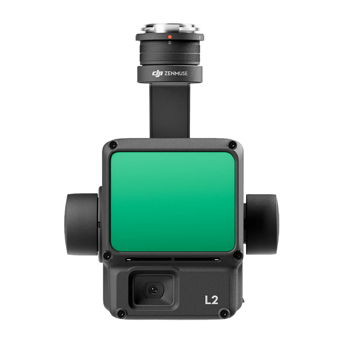
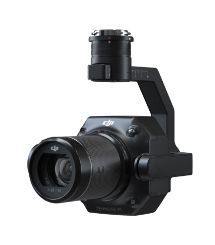
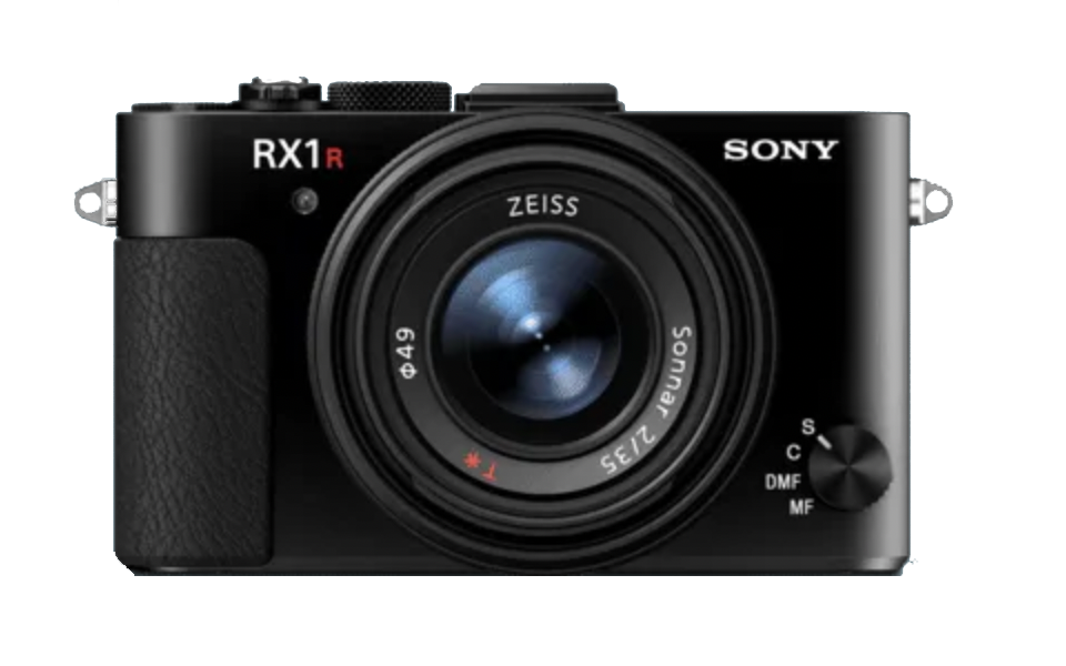
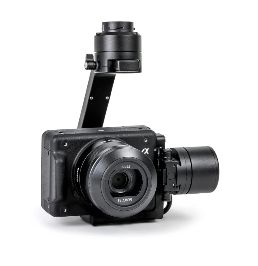
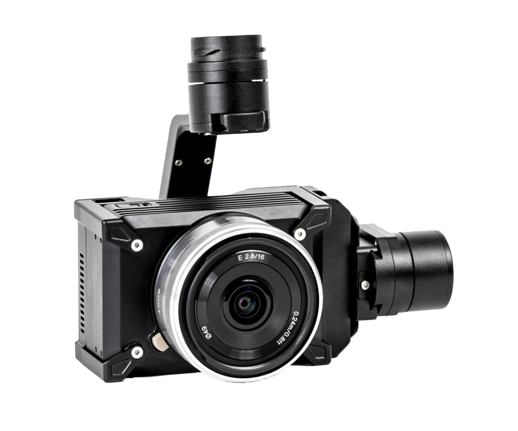
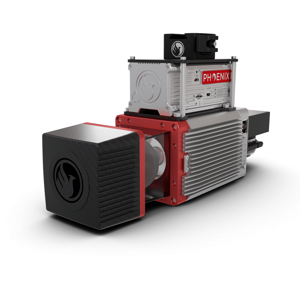
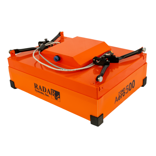
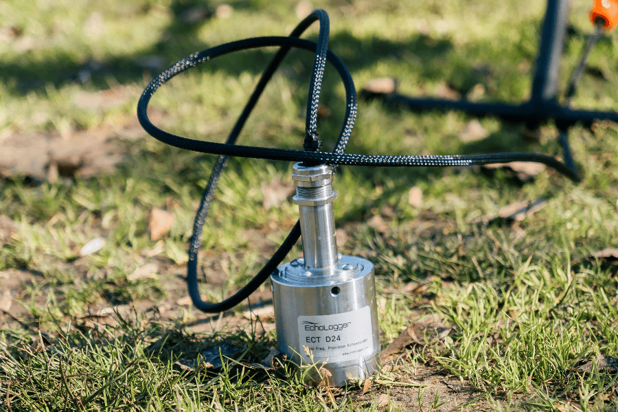
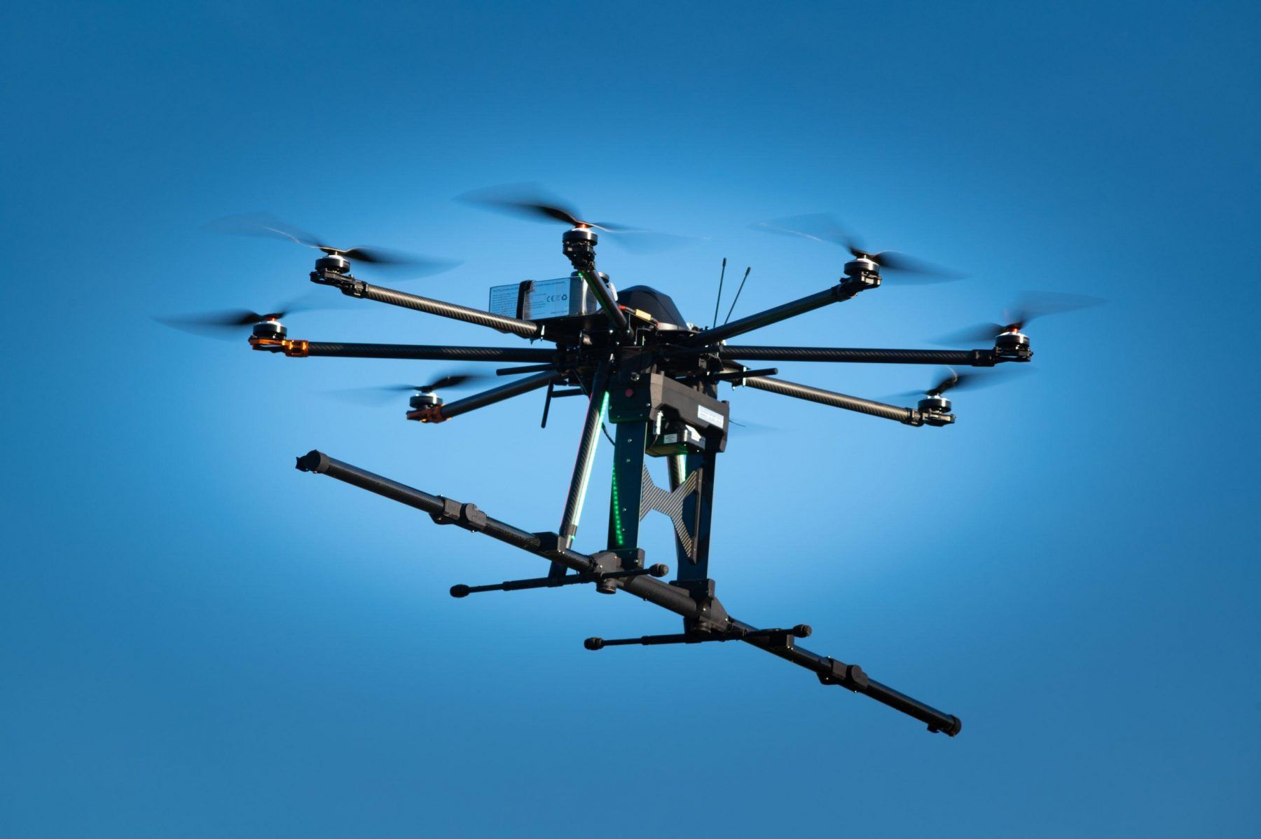
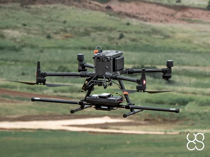
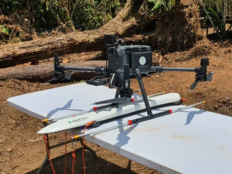
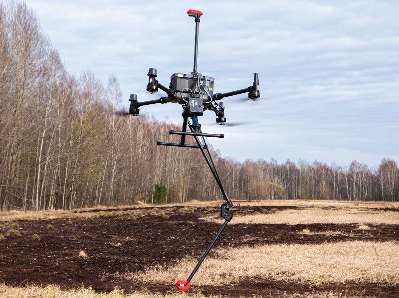
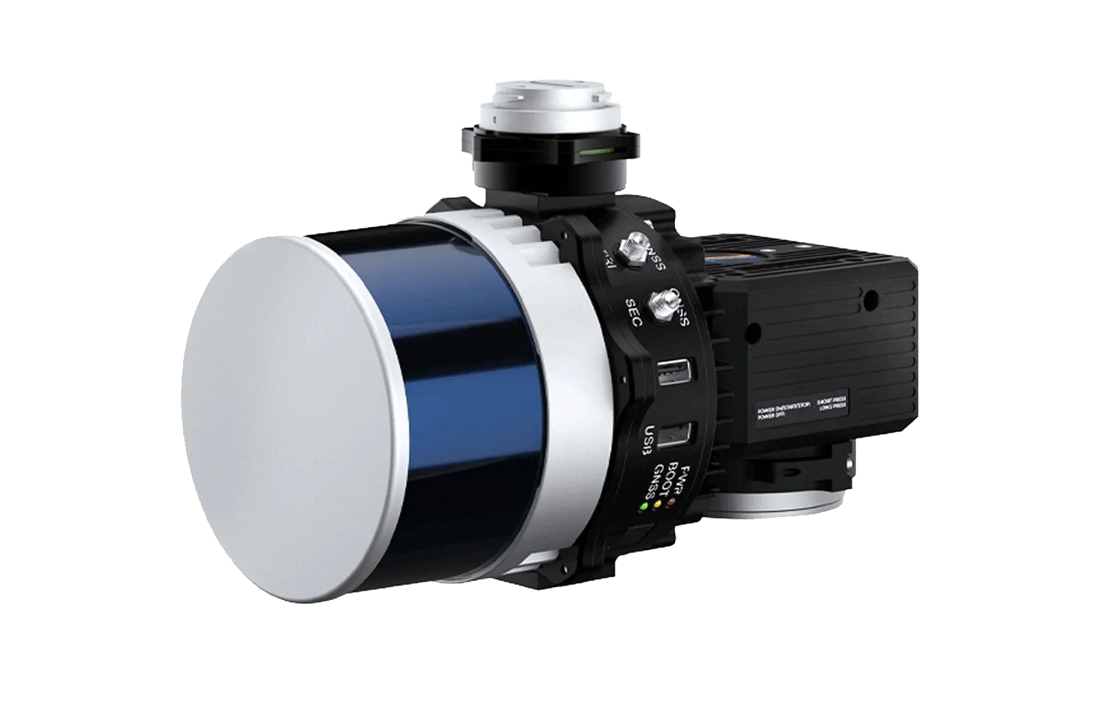
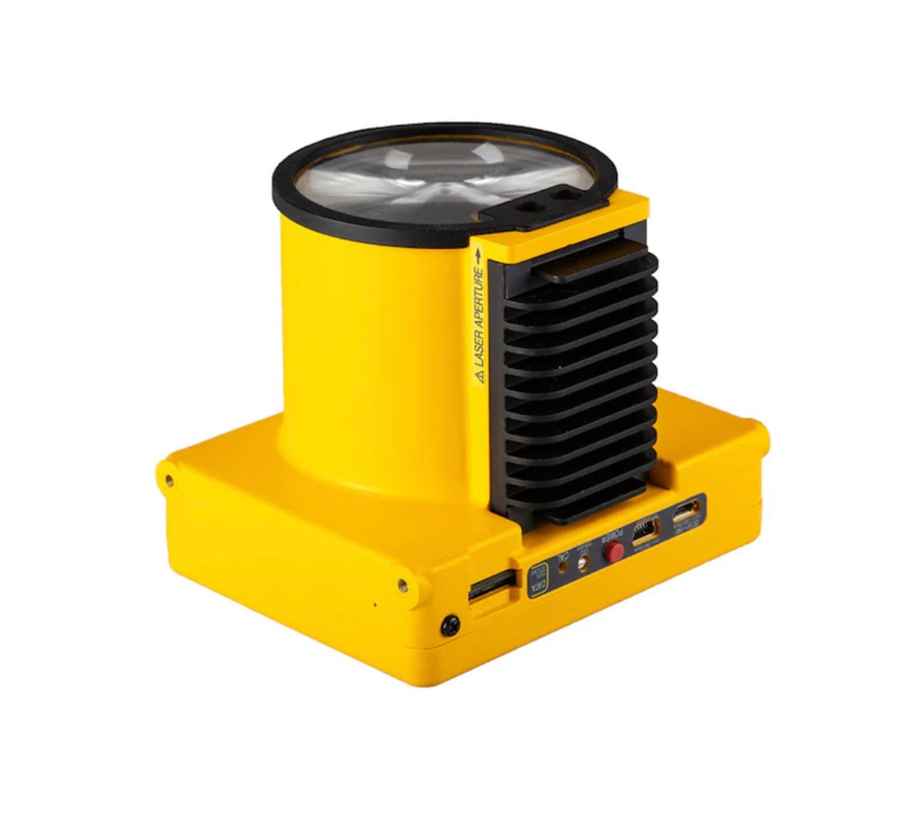
Drone mapping solutions allow government teams to capture high-resolution geospatial data across large or remote areas. These capabilities support infrastructure planning, land management, environmental monitoring, and mission preparation by providing accurate terrain data and detailed visual documentation.
High-precision aerial surveys can be completed efficiently while maintaining the security protocols required for sensitive government operations.
Inspection and Infrastructure Monitoring
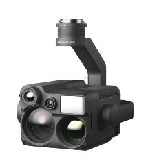
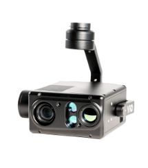
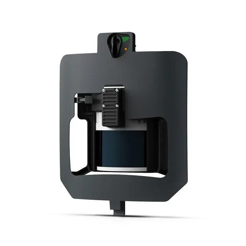
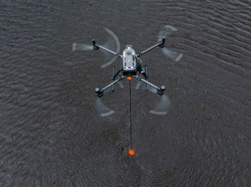
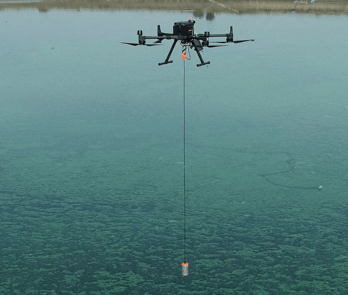
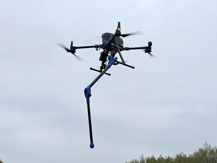
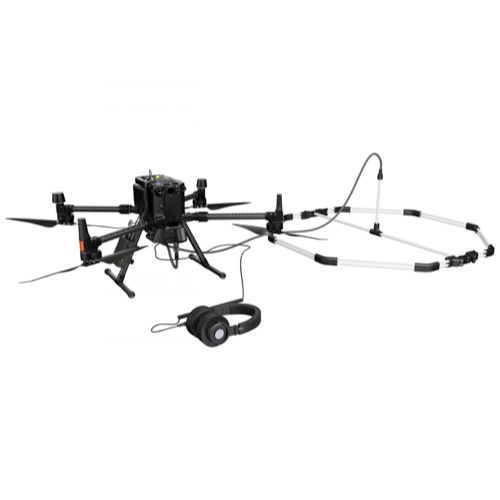
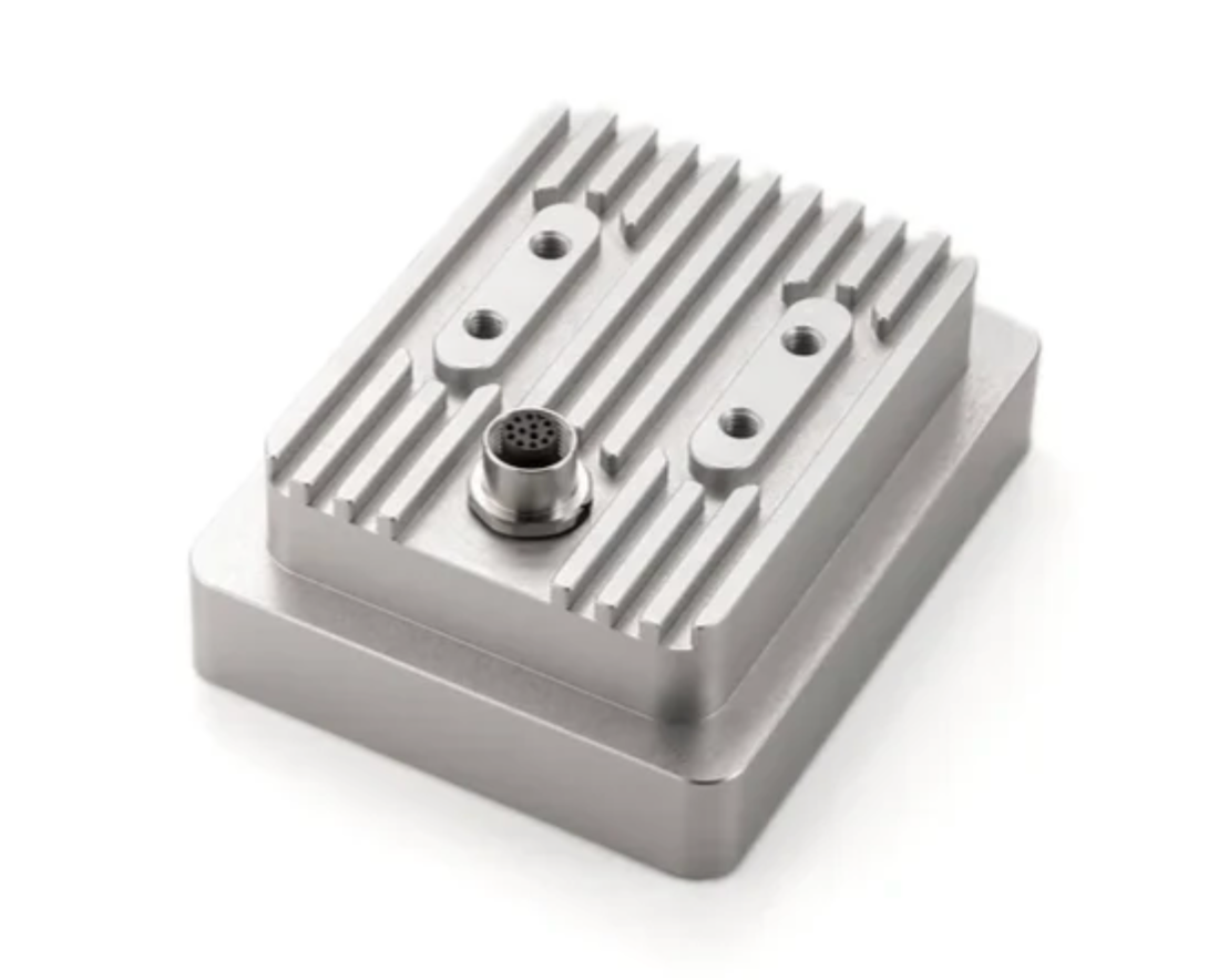
Government agencies are responsible for maintaining a wide range of infrastructure assets including transportation systems, utilities, facilities, and communications networks. Drone inspection technology allows teams to monitor these assets safely and efficiently while capturing detailed visual and sensor data.
Aerial inspections help identify structural issues early, support preventative maintenance planning, and improve overall asset management strategies.
Training and Operational Readiness
Successful drone programs require trained personnel and reliable operational workflows. SISO Air supports government and defense organizations with training programs and deployment strategies that enable teams to operate drone technology confidently within their operational environments.
Training initiatives focus on safe flight operations, mission planning, data management, and compliance with aviation and regulatory requirements.
Key Applications for Government Drone Operations
- Geospatial surveying and terrain mapping
- Infrastructure and facility inspections
- Border and perimeter monitoring
- Disaster response and damage assessment
- Environmental and land management monitoring
- Training and operational readiness exercises
- Transportation and infrastructure analysis
- Critical asset condition assessments
Technology Built for Complex Operations
Government and defense operations often involve complex logistical environments and strict regulatory standards. Drone technologies provide agencies with flexible tools that can adapt to diverse operational requirements while maintaining secure data collection practices.
SISO Air supports government organizations with compliant, scalable drone solutions designed for reliability and operational confidence. By integrating advanced aerial technology into mission workflows, agencies gain the ability to gather critical data efficiently while supporting safe and effective decision-making.
Why Choose SISO Air
We don’t take a one-size-fits-all approach. Our team works closely with organizations to understand industry-specific challenges, recommend the right technology, and provide training and support that enables long-term success.
Find the Right Solution for Your Industry
Every project comes with its own challenges, requirements, and data goals. SISO Air works closely with teams across surveying, construction, energy, public safety, and engineering to help identify the right combination of platforms, sensors, software, and training for the job.
Whether you’re exploring new technology or refining an existing workflow, our team is here to help you move forward with confidence.