
Solutions by Industry
Drone Solutions Tailored to Your Industry
SISO Air supports a wide range of industries with advanced drone platforms, sensor payloads, software, and training. Our solutions are designed to help organizations capture accurate data, streamline workflows, and deliver reliable results across diverse applications.

How We Support Each Industry
Every industry has unique goals, operational constraints, and data requirements. SISO Air takes a consultative approach to match the right technology, workflows, and training to each application—ensuring solutions are practical, compliant, and effective in real-world use.
Support situational awareness, damage assessment, and rapid data collection during emergency response operations. Solutions are designed to deliver reliable information when accuracy and response time matter most.
Support accurate topographic surveys, boundary mapping, and large-area data collection using aerial and terrestrial technologies. Our solutions help streamline acquisition and processing while maintaining precision and repeatability.
Enable progress tracking, volumetric measurements, site documentation, and as-built verification. Drone and scanning solutions help improve planning, coordination, and decision-making throughout the project lifecycle.
Collect detailed visual, thermal, LiDAR, and sensor data to support infrastructure inspections and ongoing asset monitoring. Reduce risk and improve safety by capturing data without direct contact.
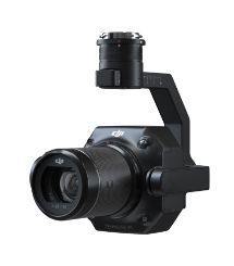
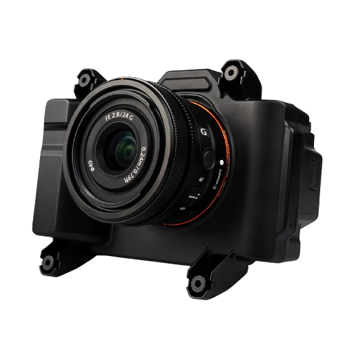
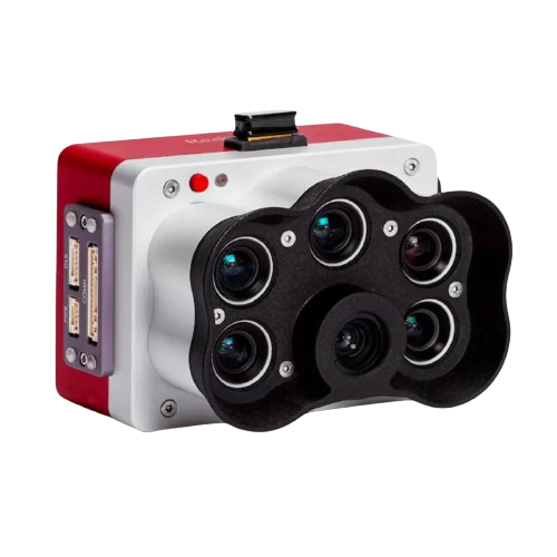
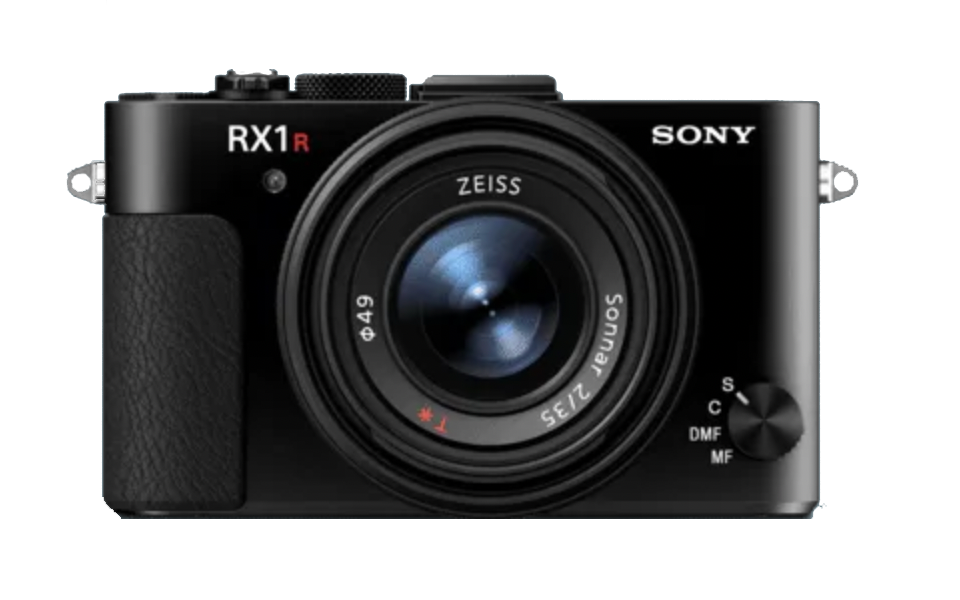
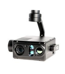
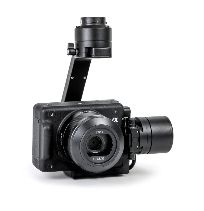
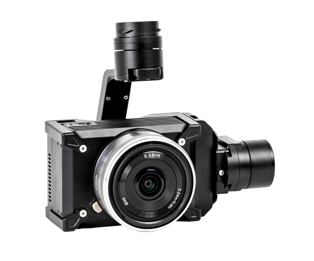
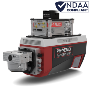
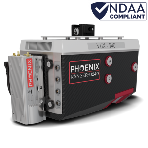
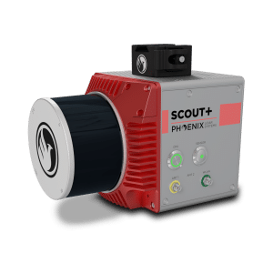
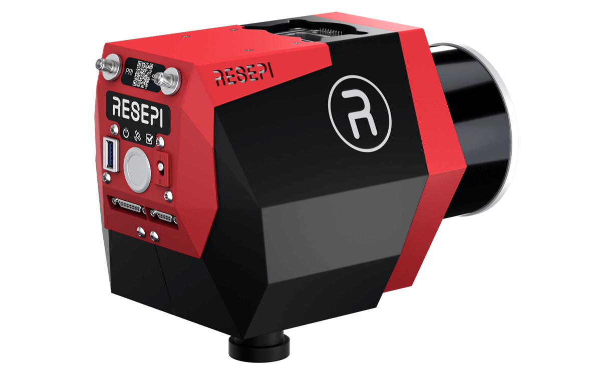
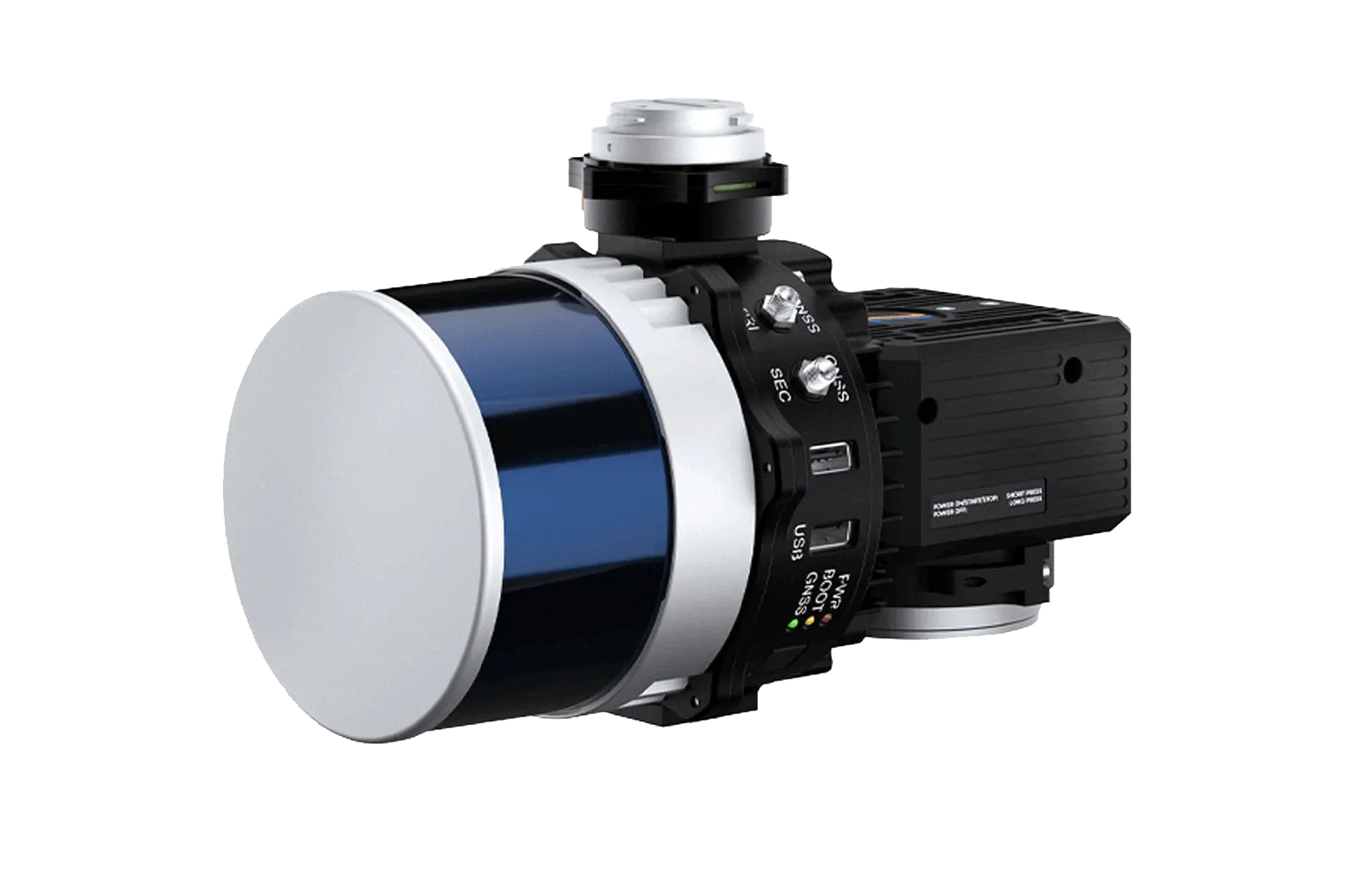
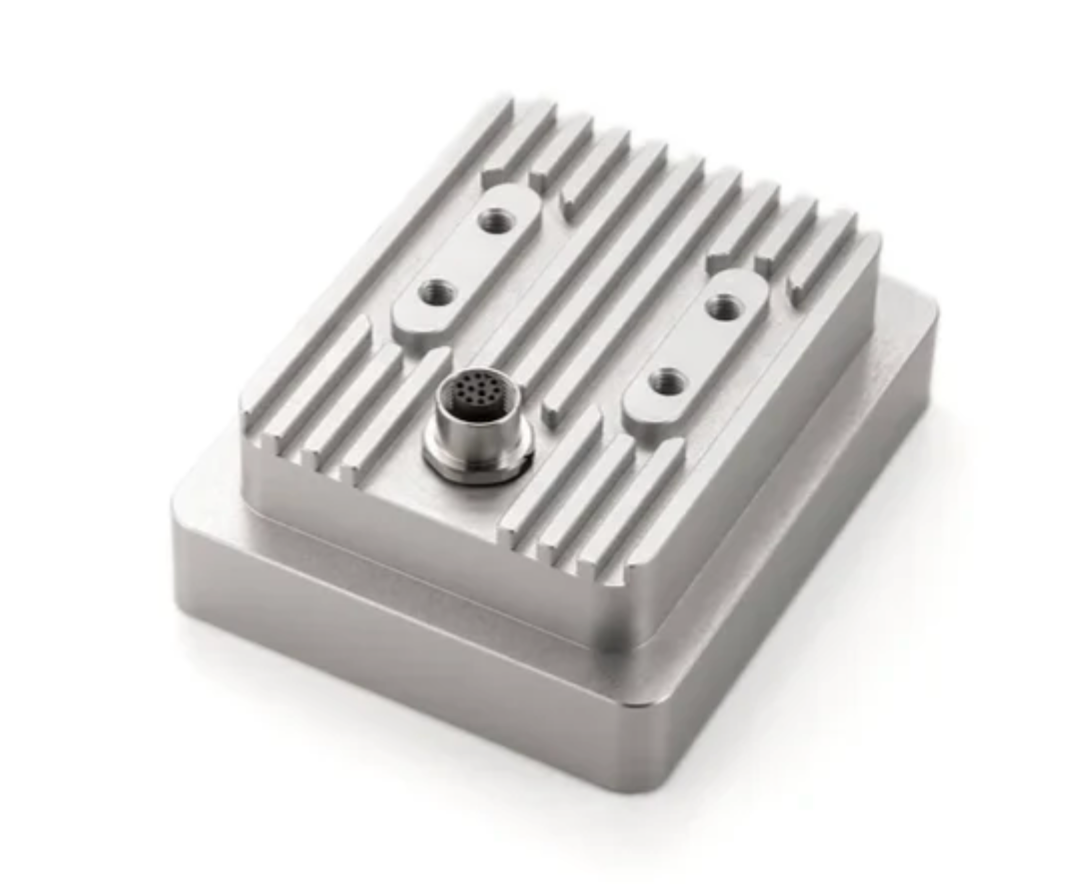
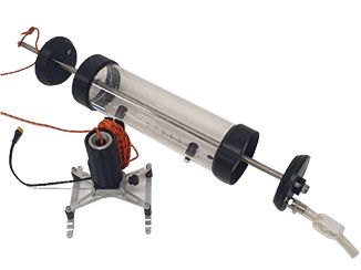
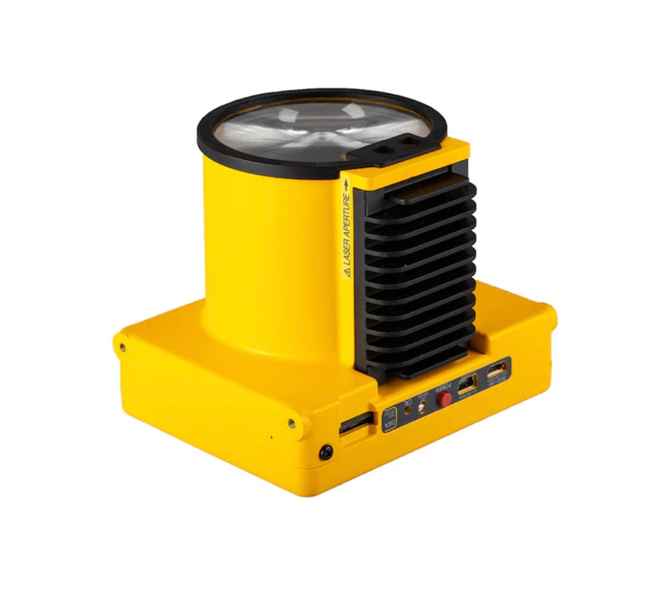
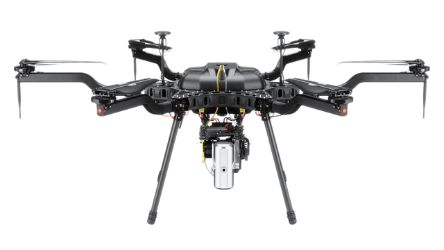
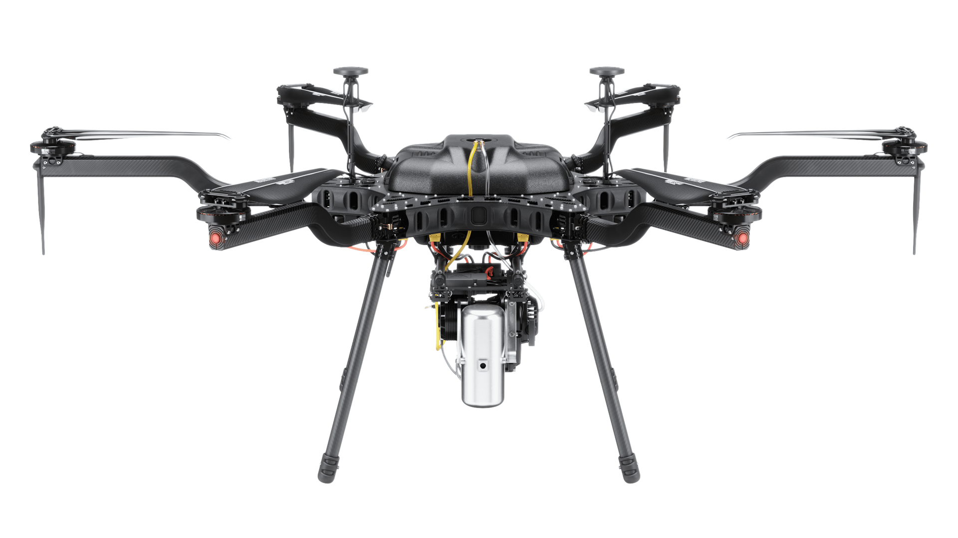
SISO Air integrates aerial drones, terrestrial scanning, advanced payloads, and professional software into workflows that align with industry needs—from data acquisition through processing and delivery.
Provide compliant, secure solutions for surveying, inspection, training, and data acquisition across government and defense applications. Our experience supporting complex organizations enables confident deployment and operation.
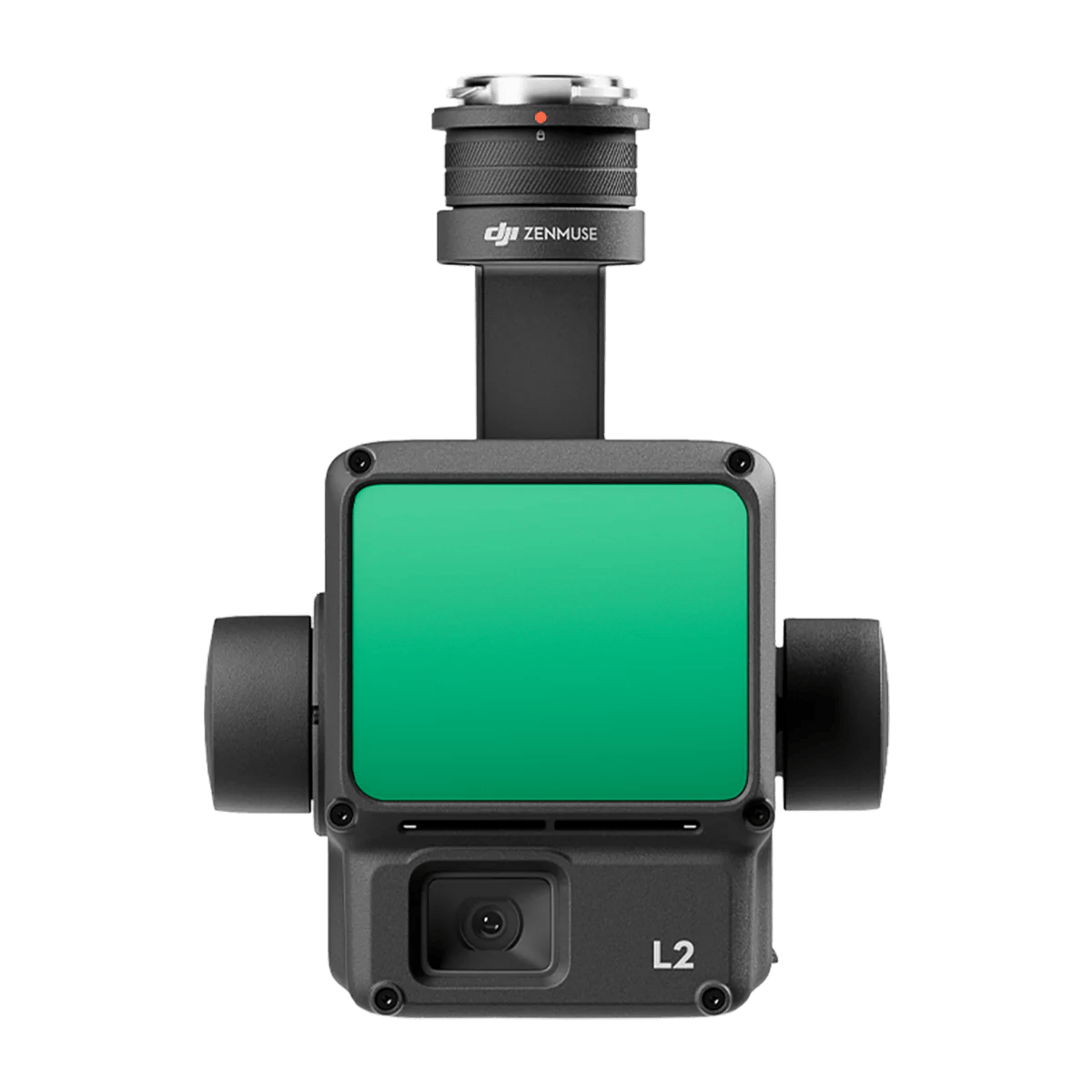
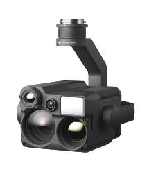
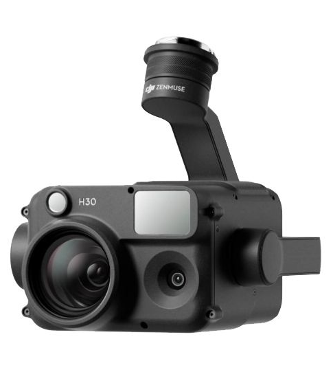
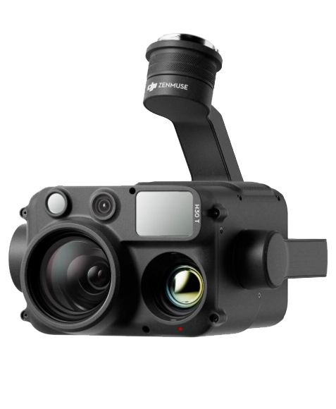
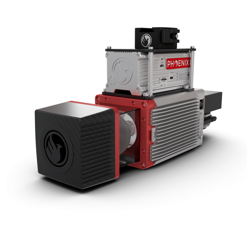
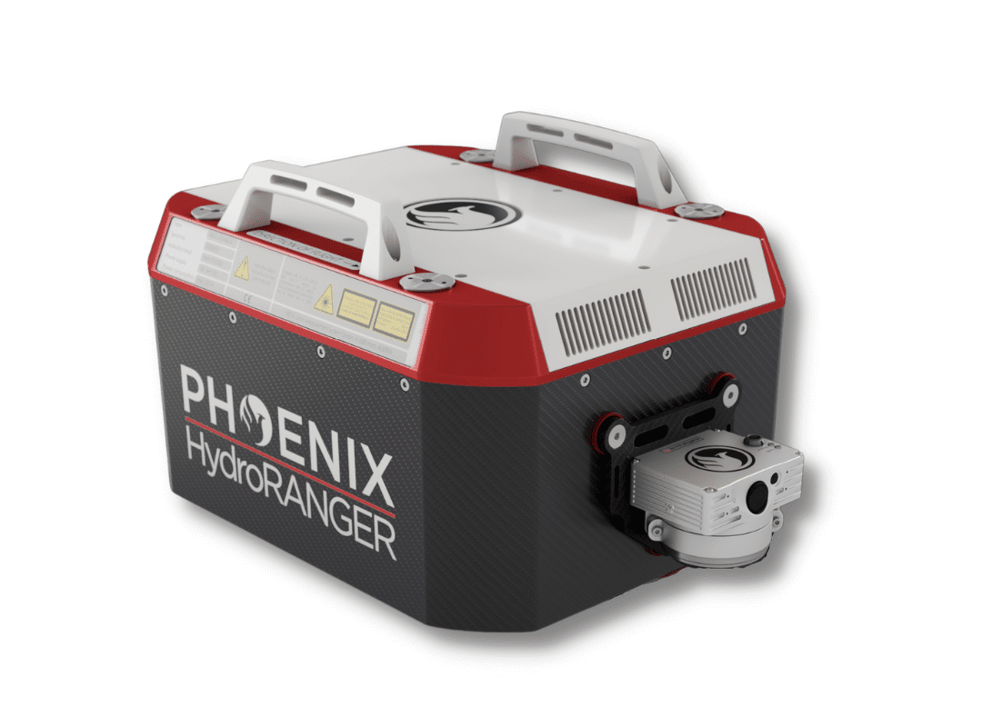
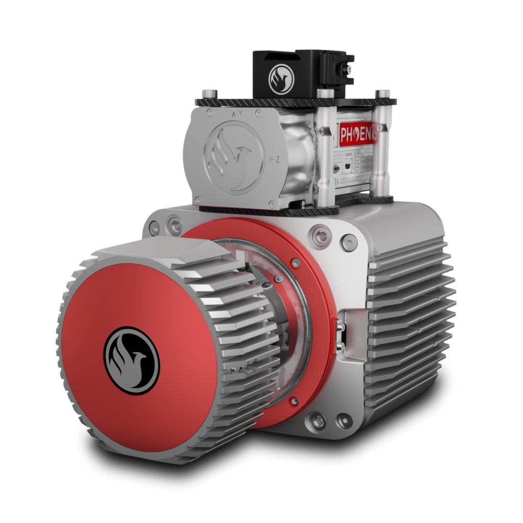
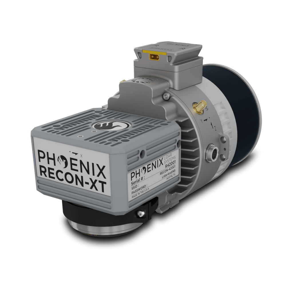
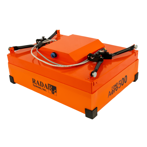
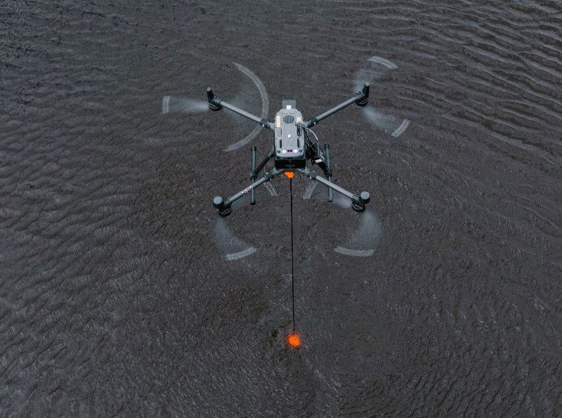
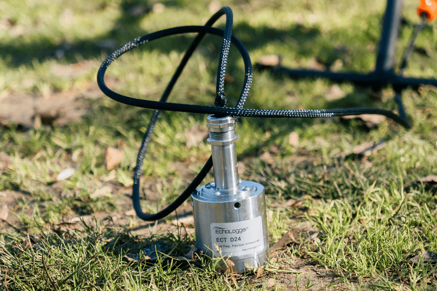
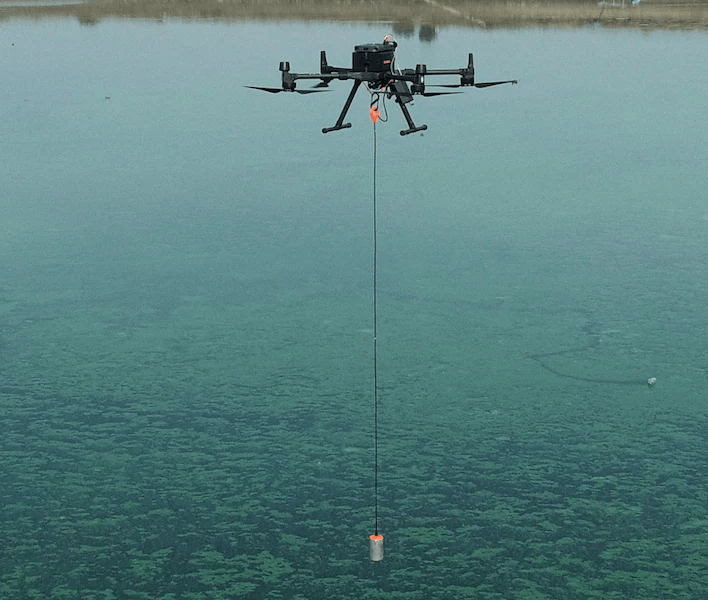
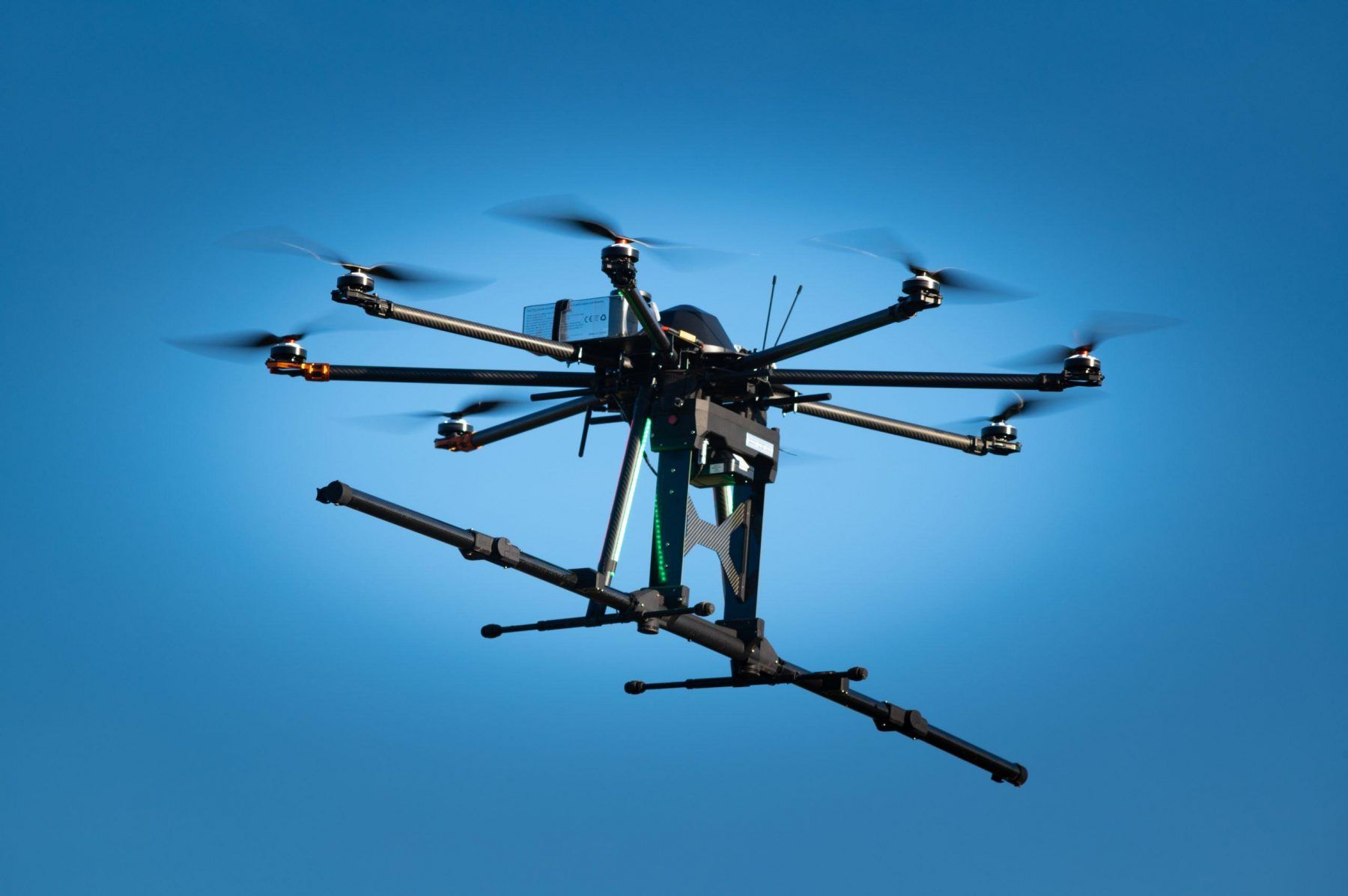
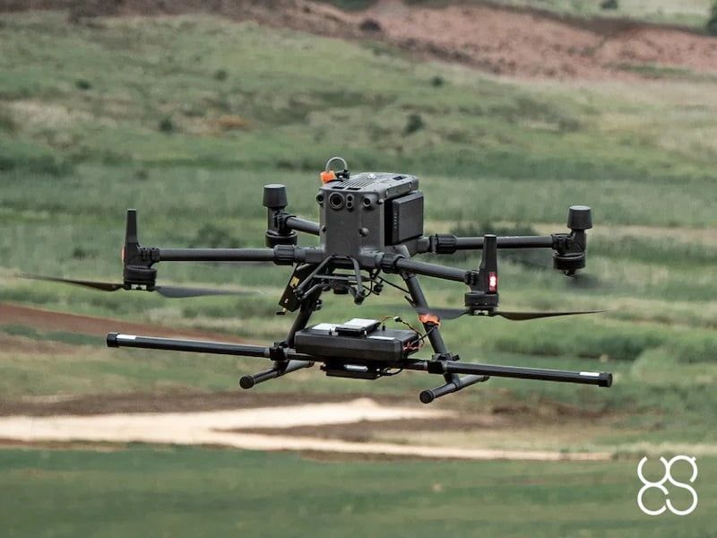
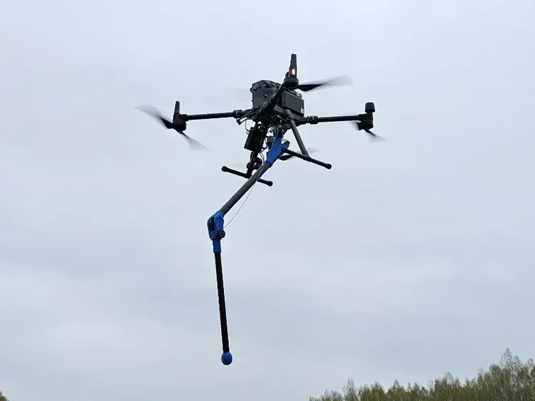
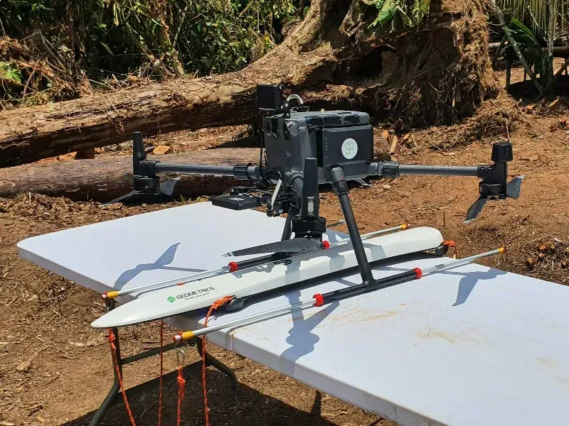
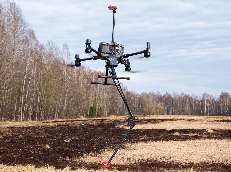
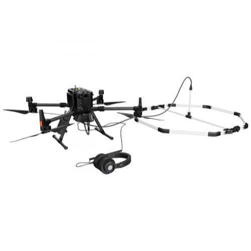
Deploy specialized payloads such as LiDAR, ground-penetrating radar, magnetometers, remote sensing instruments, and environmental sensors to support research, monitoring, and subsurface analysis.
Capture accurate data for inspection, maintenance planning, and monitoring of utility and energy infrastructure. These solutions help teams operate more efficiently while minimizing downtime and operational risk.
Why Choose SISO Air
We don’t take a one-size-fits-all approach. Our team works closely with organizations to understand industry-specific challenges, recommend the right technology, and provide training and support that enables long-term success.
Find the Right Solution for Your Industry
Every project comes with its own challenges, requirements, and data goals. SISO Air works closely with teams across surveying, construction, energy, public safety, and engineering to help identify the right combination of platforms, sensors, software, and training for the job.
Whether you’re exploring new technology or refining an existing workflow, our team is here to help you move forward with confidence.