
Drone Solutions for Construction & Engineering
Drone Solutions Tailored to Your Industry
SISO Air supports a wide range of industries with advanced drone platforms, sensor payloads, software, and training. Our solutions are designed to help organizations capture accurate data, streamline workflows, and deliver reliable results across diverse applications.
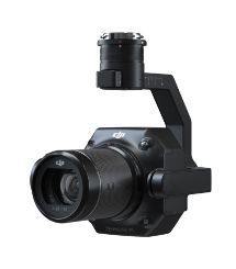
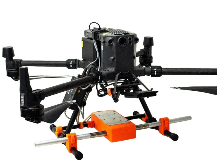
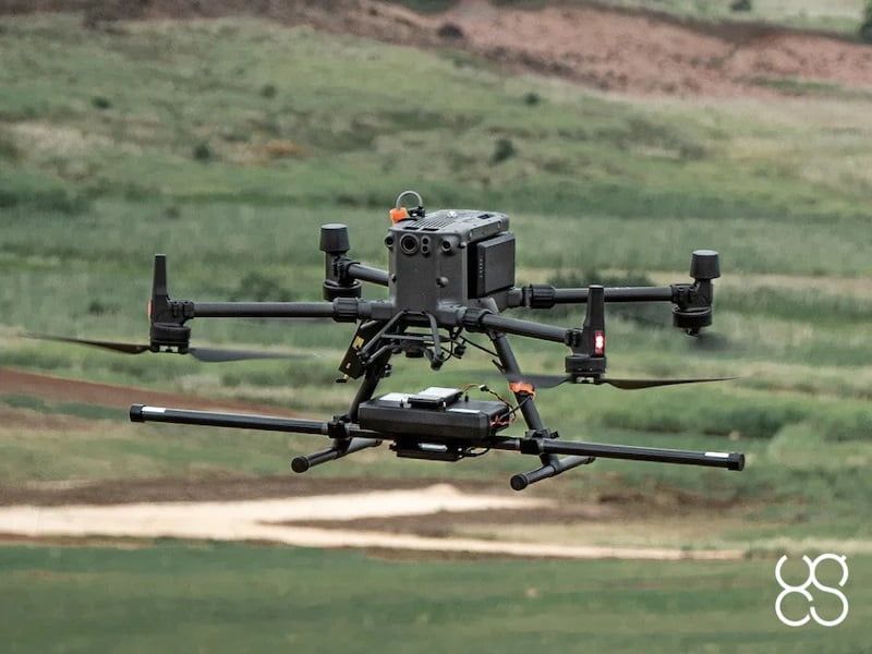
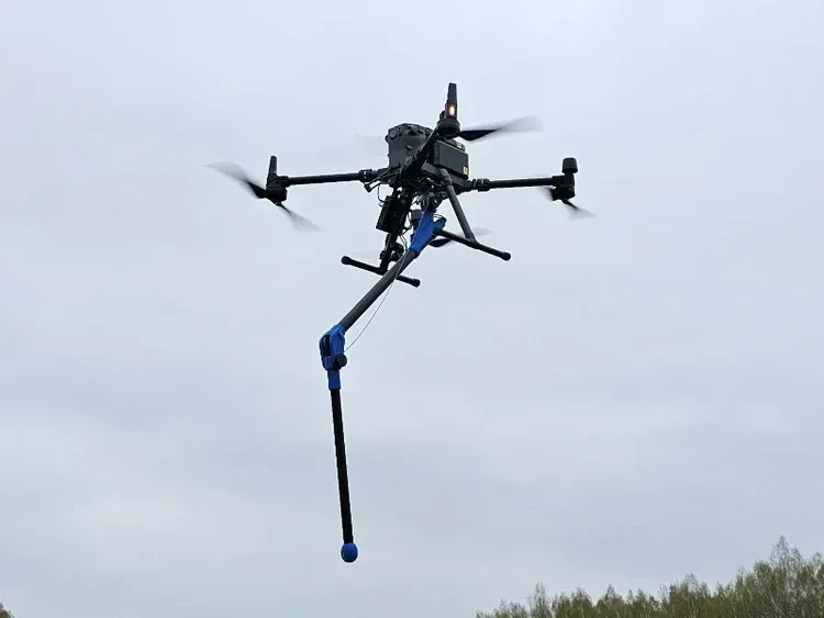
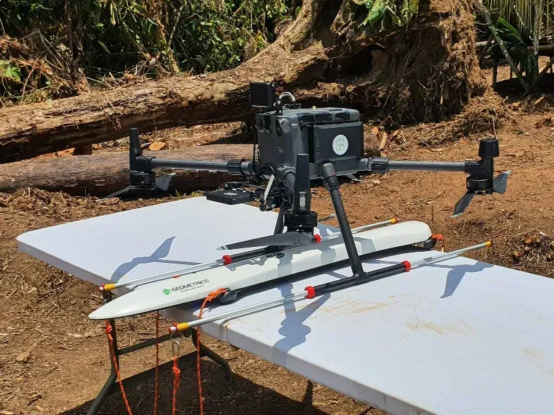
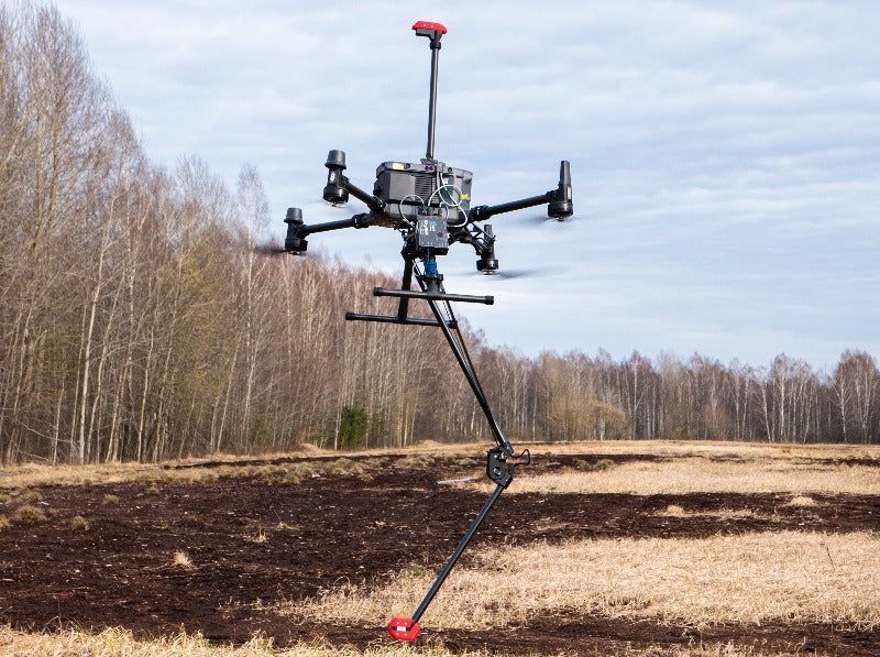
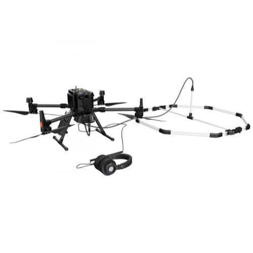
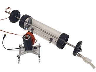
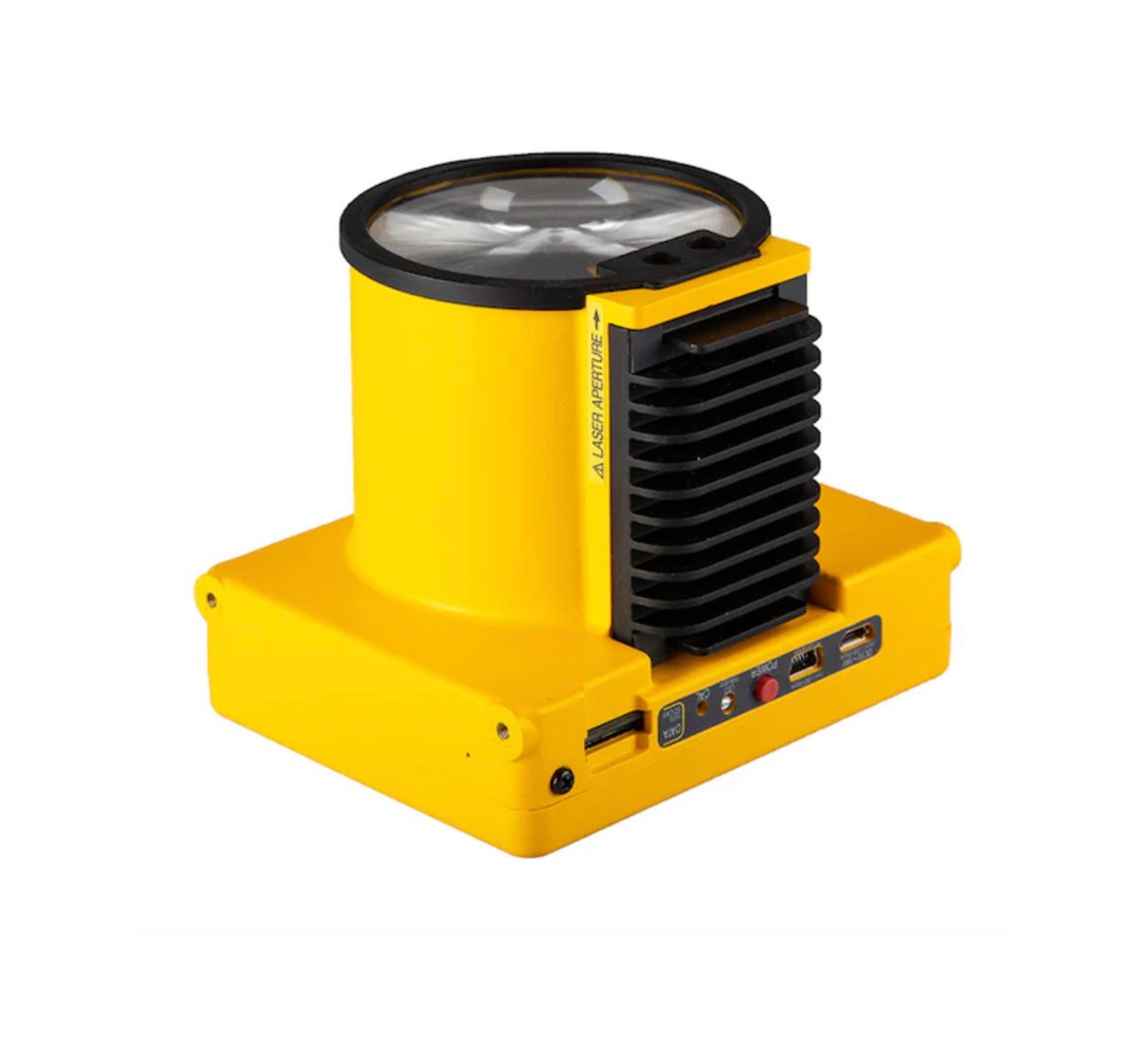
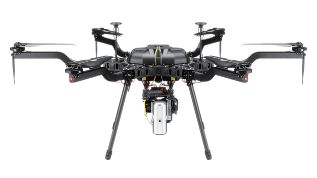
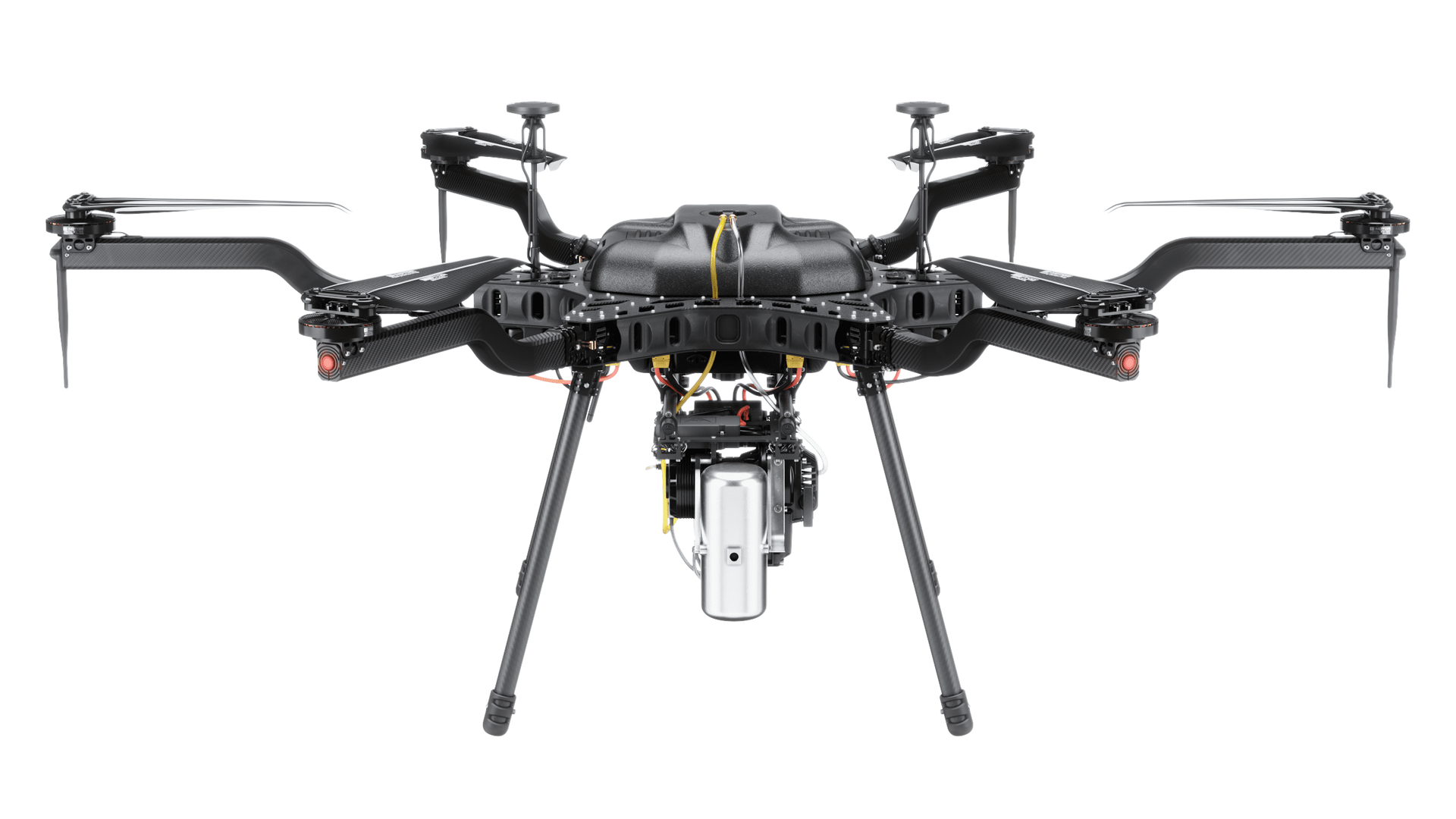
Construction and engineering projects require accurate data, clear documentation, and continuous visibility across the entire job site. Drone technology provides teams with detailed aerial insights that support better planning, coordination, and decision-making throughout every phase of a project. Siso Air solutions combine aerial mapping, scanning technologies, and advanced data processing to deliver reliable site intelligence for construction professionals.
By collecting high-resolution imagery and geospatial data from above, project teams can monitor job progress, measure materials, and document site conditions quickly and safely. This technology helps reduce costly delays while improving communication between contractors, engineers, developers, and project stakeholders.
Construction Progress Tracking
Regular aerial mapping allows project teams to monitor construction progress across the entire site. Drone imagery provides a comprehensive visual record that can be compared over time to track development milestones and identify potential delays before they impact the schedule.
These aerial updates help contractors and project managers maintain accurate records, communicate progress to stakeholders, and keep large construction projects aligned with planning objectives.
Volumetric Measurements and Material Tracking
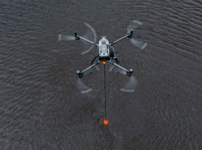
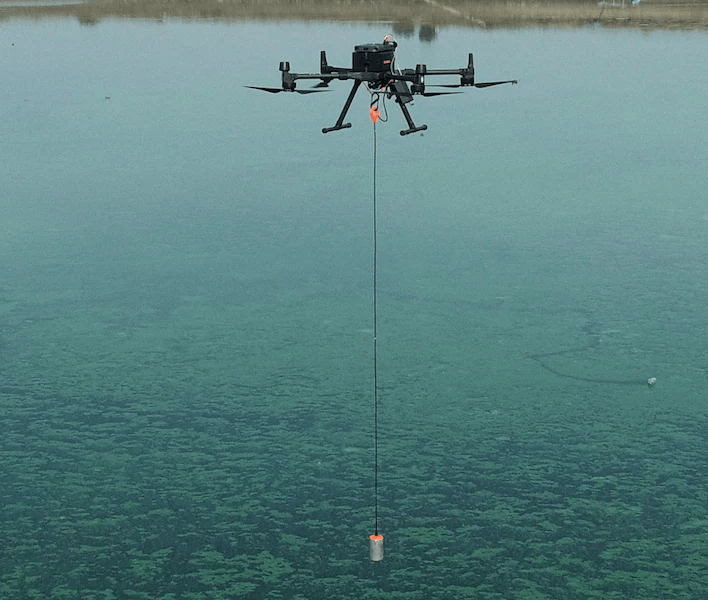
Drone mapping technology enables precise volumetric measurements for materials such as soil, gravel, sand, and construction aggregates. By analyzing aerial datasets, teams can calculate material volumes accurately and monitor stockpile changes over time.
This capability improves inventory tracking and helps project managers maintain better control over site logistics and resource planning.
Site Documentation and Reporting
Comprehensive aerial documentation provides a reliable record of site conditions throughout the construction process. High-resolution images and 3D models help project teams review completed work, analyze construction progress, and maintain detailed documentation for reporting and compliance purposes.
These visual records also support collaboration between contractors, architects, engineers, and project owners by providing a shared understanding of site conditions.
As-Built Verification and Project Validation
Drone and scanning technologies allow engineers and construction teams to compare completed work against project plans and digital models. This process helps confirm that structures and site features are built according to design specifications.
By verifying as-built conditions with accurate aerial data, teams can identify discrepancies early and ensure construction projects meet required standards before moving into later development stages.
Key Applications for Construction Drone Technology
- Construction progress monitoring
- Topographic site mapping
- Stockpile and volumetric measurements
- Construction site documentation
- 3D site modeling and terrain mapping
- Infrastructure and structural inspections
- Project planning and engineering analysis
- As-built verification and validation
Data-Driven Construction Decision Making
Modern construction projects benefit from accurate and timely data that supports efficient planning and coordination. Drone technology delivers detailed aerial intelligence that helps teams identify potential challenges early, track project progress, and maintain clear communication across all stakeholders.
SISO Air provides drone and scanning solutions designed to support the entire construction lifecycle. From initial site surveys to final project verification, these technologies help construction and engineering teams work more efficiently while maintaining the accuracy and reliability required for successful project delivery.
Why Choose SISO Air
We don’t take a one-size-fits-all approach. Our team works closely with organizations to understand industry-specific challenges, recommend the right technology, and provide training and support that enables long-term success.
Find the Right Solution for Your Industry
Every project comes with its own challenges, requirements, and data goals. SISO Air works closely with teams across surveying, construction, energy, public safety, and engineering to help identify the right combination of platforms, sensors, software, and training for the job.
Whether you’re exploring new technology or refining an existing workflow, our team is here to help you move forward with confidence.