
Environmental & Geophysical Drone Applications
Drone Solutions Tailored to Your Industry
SISO Air supports a wide range of industries with advanced drone platforms, sensor payloads, software, and training. Our solutions are designed to help organizations capture accurate data, streamline workflows, and deliver reliable results across diverse applications.
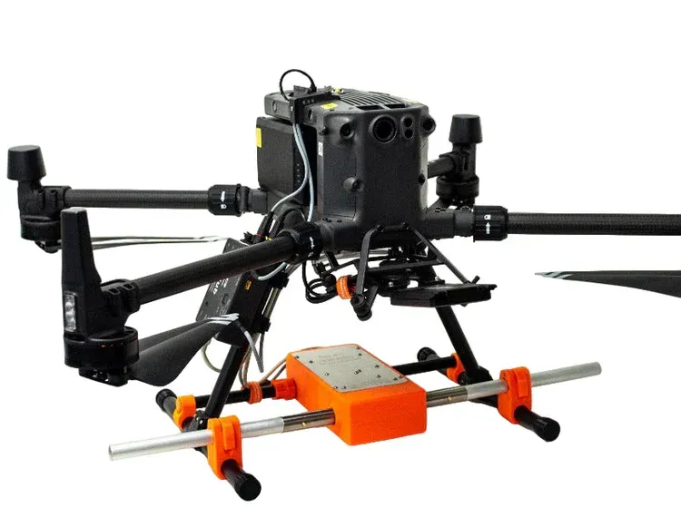
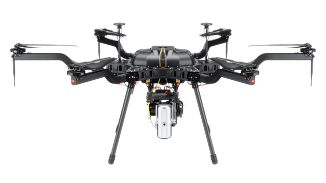
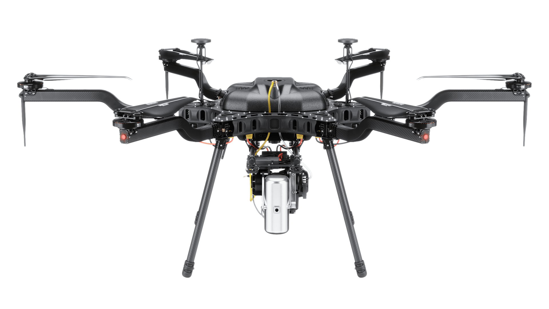
Environmental research and geophysical analysis require advanced tools capable of capturing accurate data across complex and often remote environments. Drone technology provides a powerful platform for deploying specialized sensors that support environmental monitoring, terrain analysis, and subsurface investigation. SISO Air integrates advanced aerial systems with scientific payloads that enable organizations to collect high-quality environmental and geophysical data safely and efficiently.
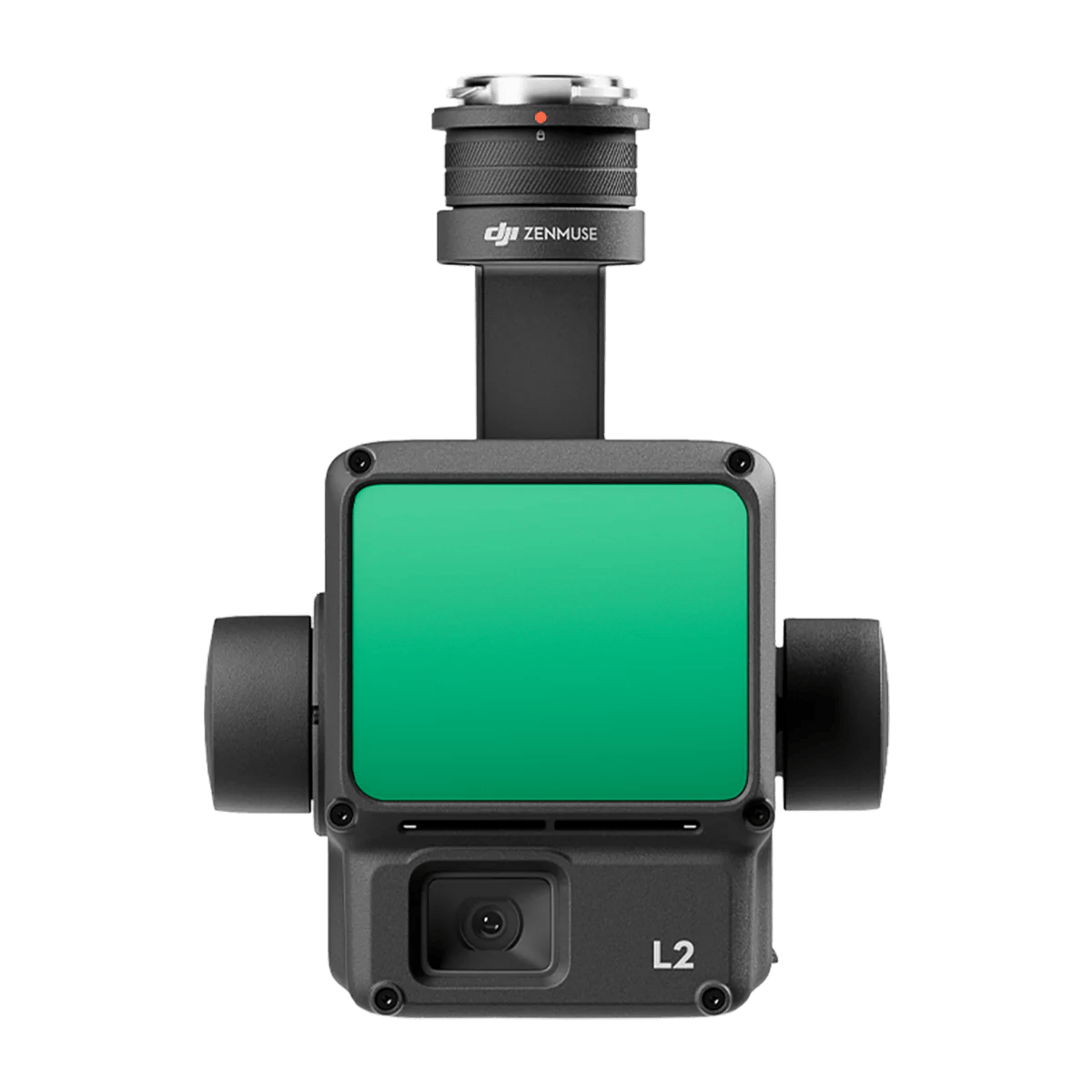
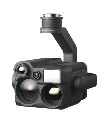
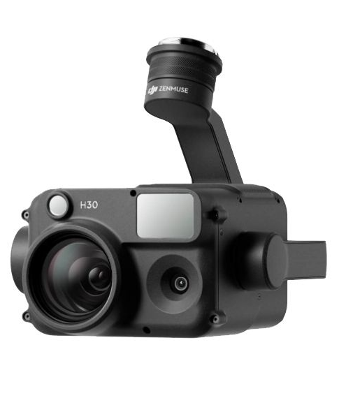
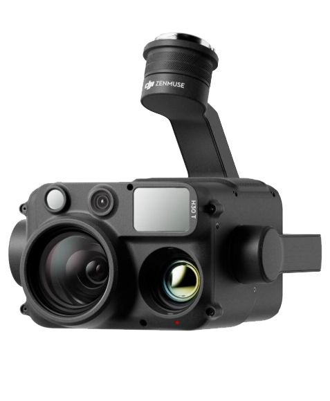
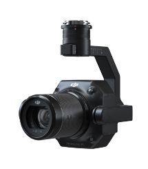
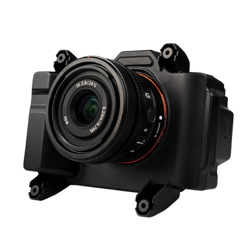
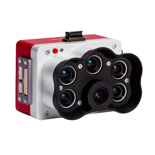
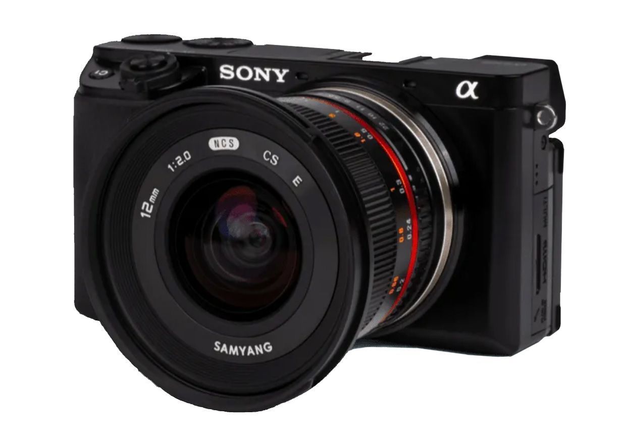
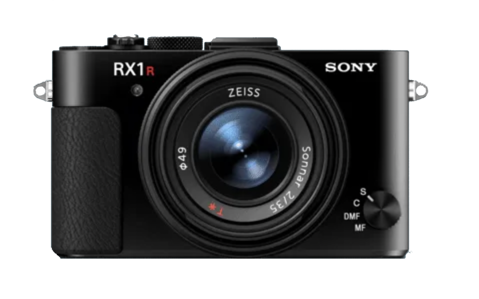
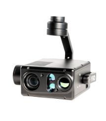
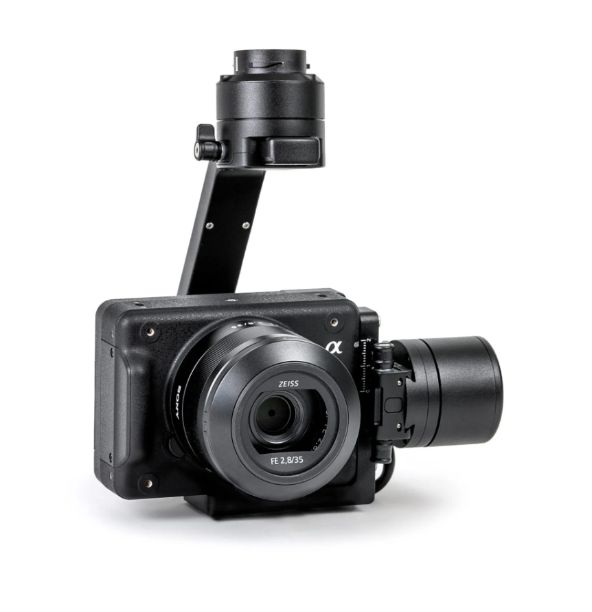
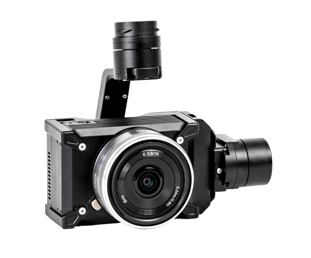
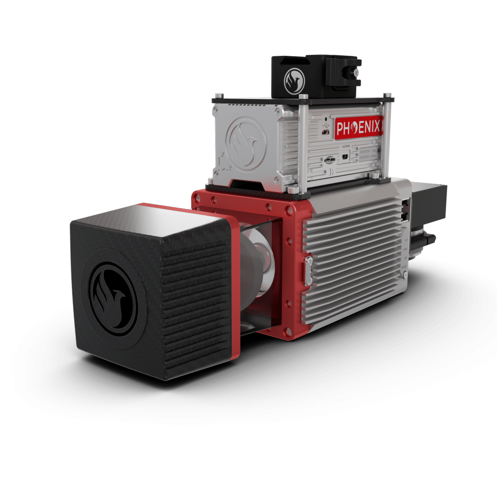
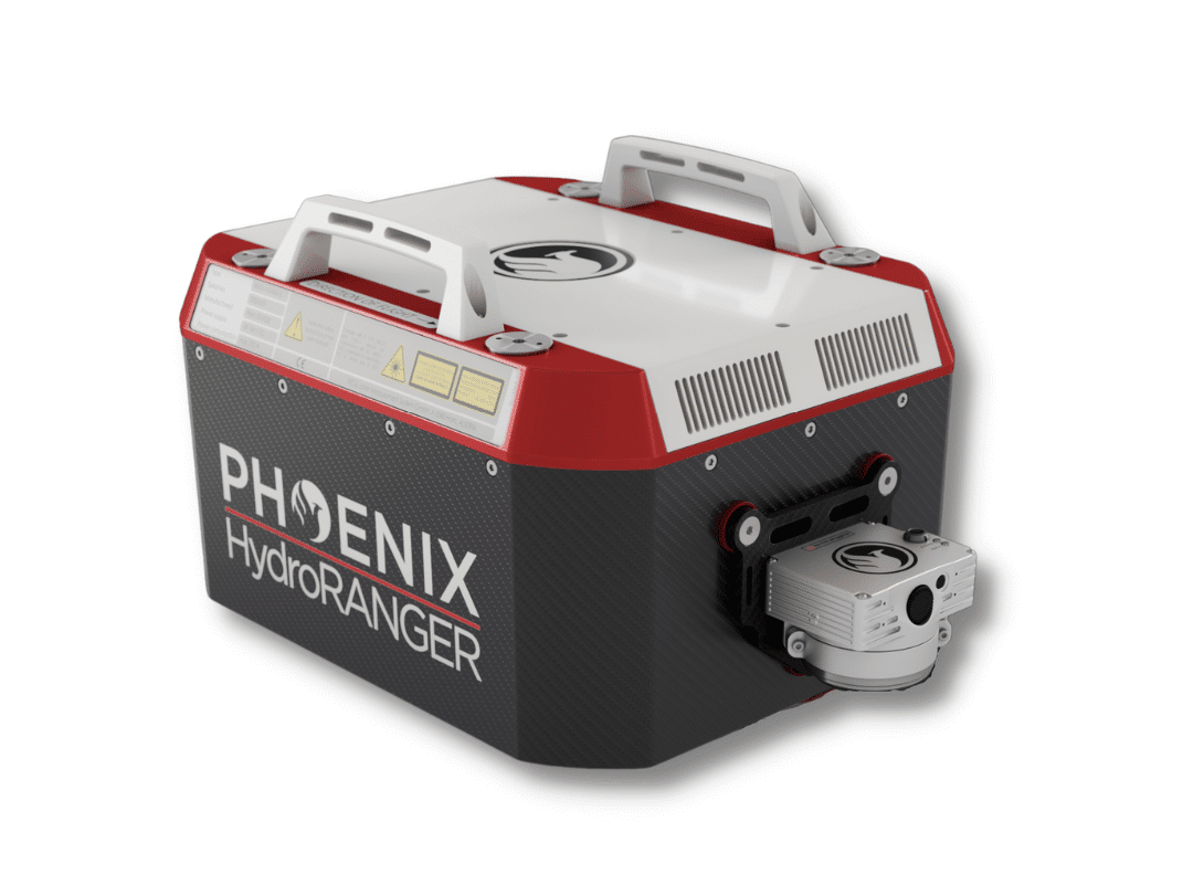
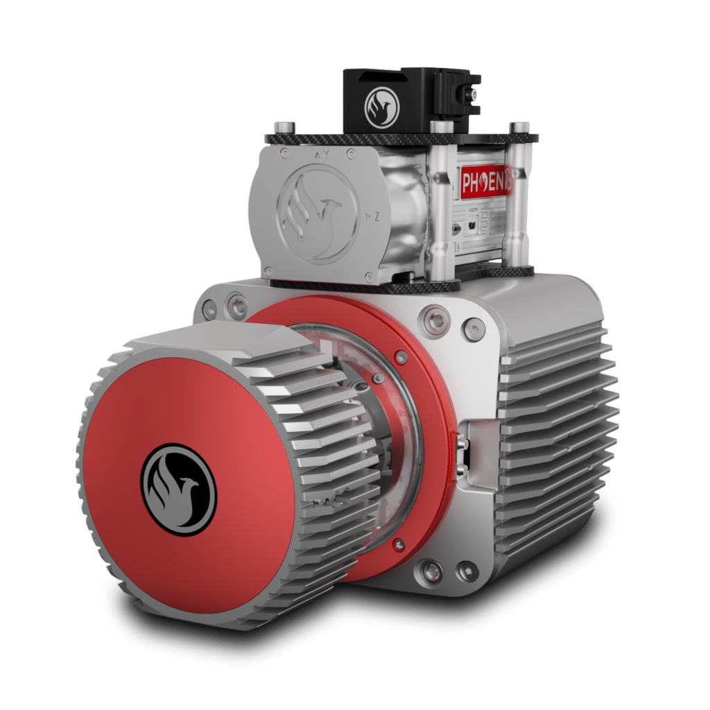
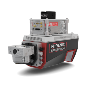
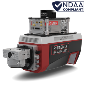
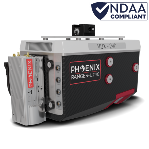
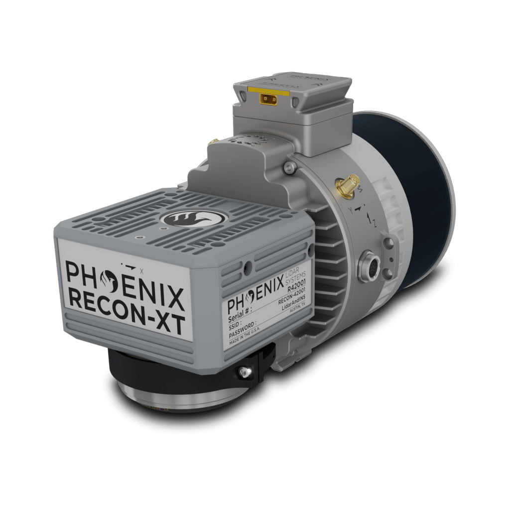
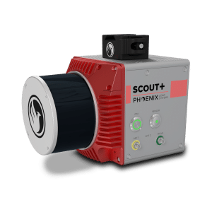
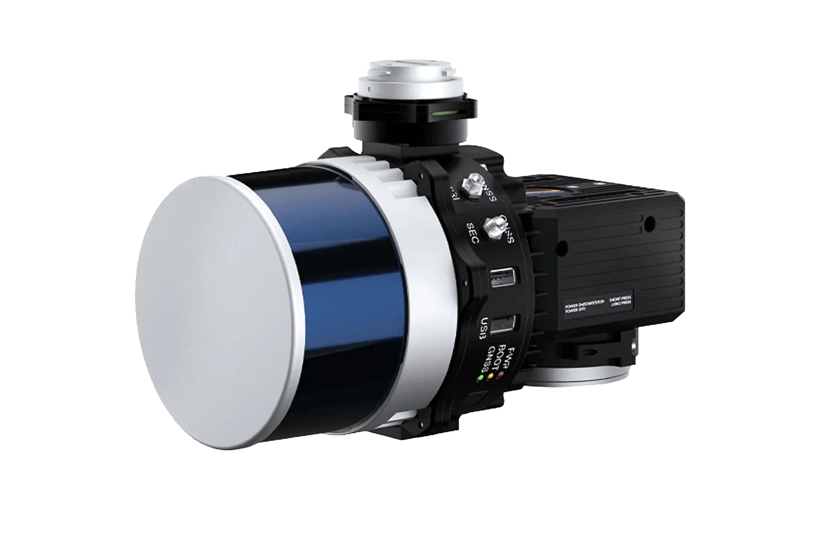
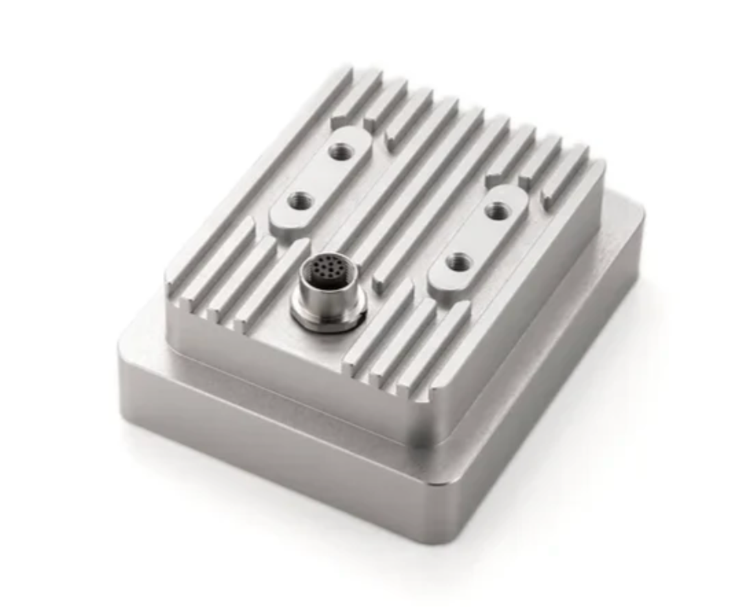
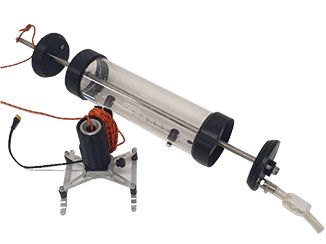
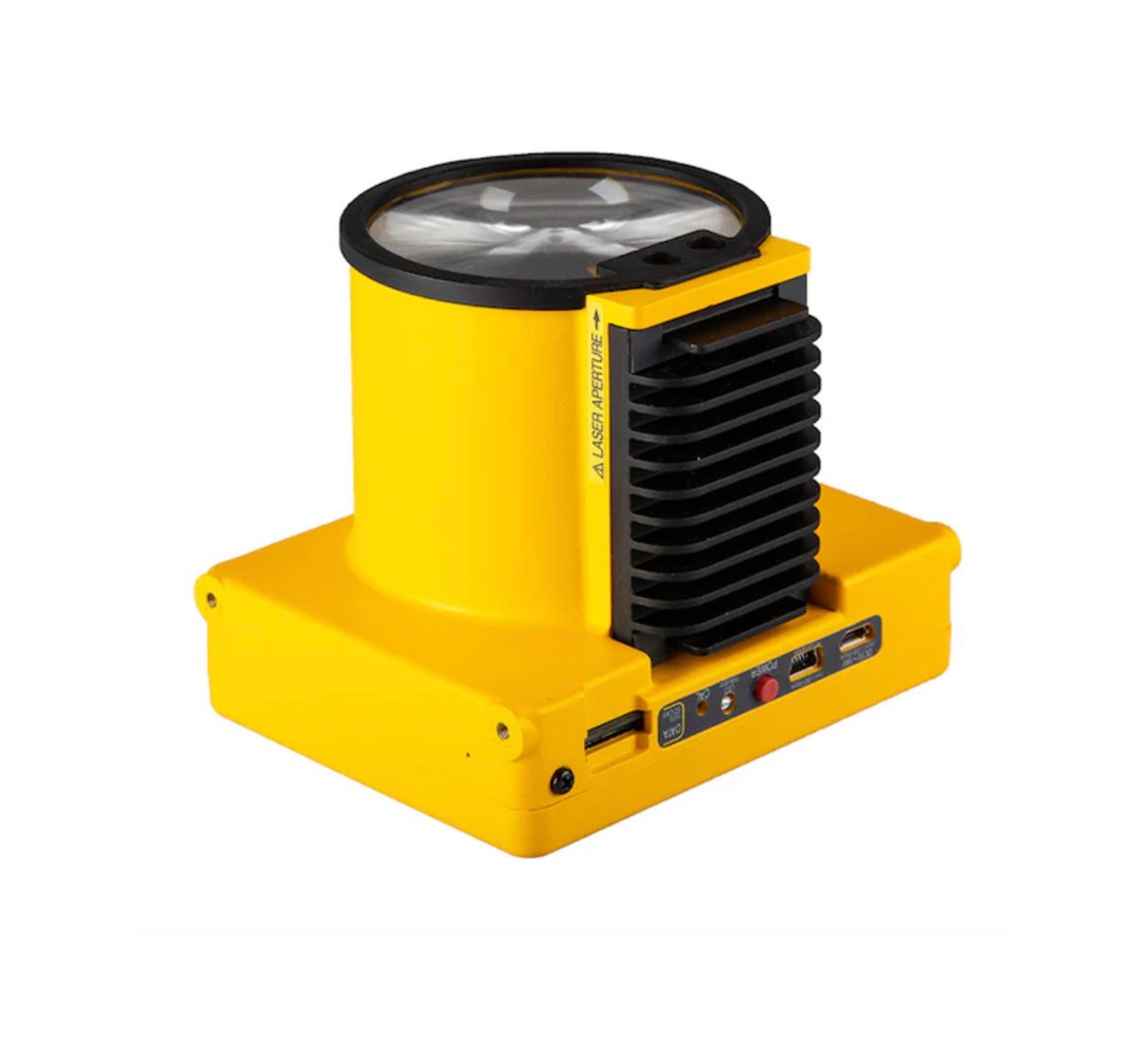
By combining aerial platforms with sensors such as LiDAR, ground-penetrating radar, magnetometers, and remote sensing instruments, research teams and environmental organizations can gather detailed datasets that help reveal patterns, identify changes in natural systems, and support long-term monitoring efforts.
Advanced Environmental Monitoring
Drone-based monitoring enables researchers and environmental professionals to capture detailed data across forests, wetlands, coastlines, and other sensitive ecosystems. High-resolution aerial imagery and sensor data help teams track environmental changes, monitor vegetation health, and observe landscape conditions over time.
These capabilities allow environmental organizations to monitor large areas more efficiently while minimizing disturbance to natural habitats.
LiDAR Terrain Mapping and Analysis
LiDAR sensors mounted on drone platforms capture highly detailed elevation data that supports terrain modeling and environmental analysis. This technology allows researchers and engineers to generate accurate digital terrain models even in areas with dense vegetation where traditional surveying methods may be limited.
LiDAR mapping is commonly used for watershed analysis, forestry management, habitat studies, and geological research.
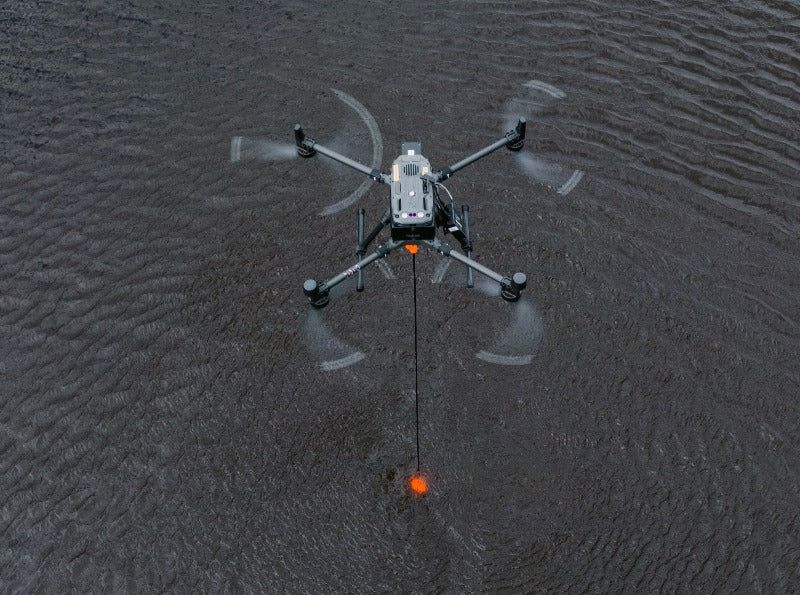
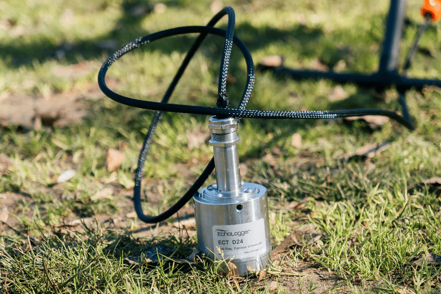
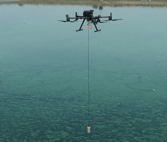
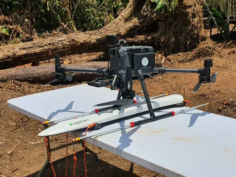
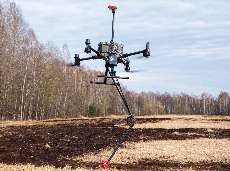
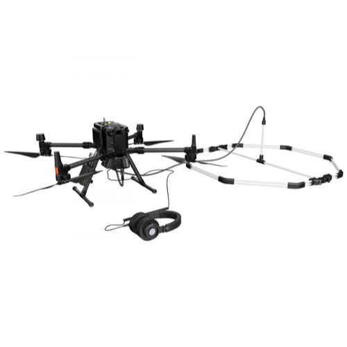
Subsurface and Geophysical Investigation
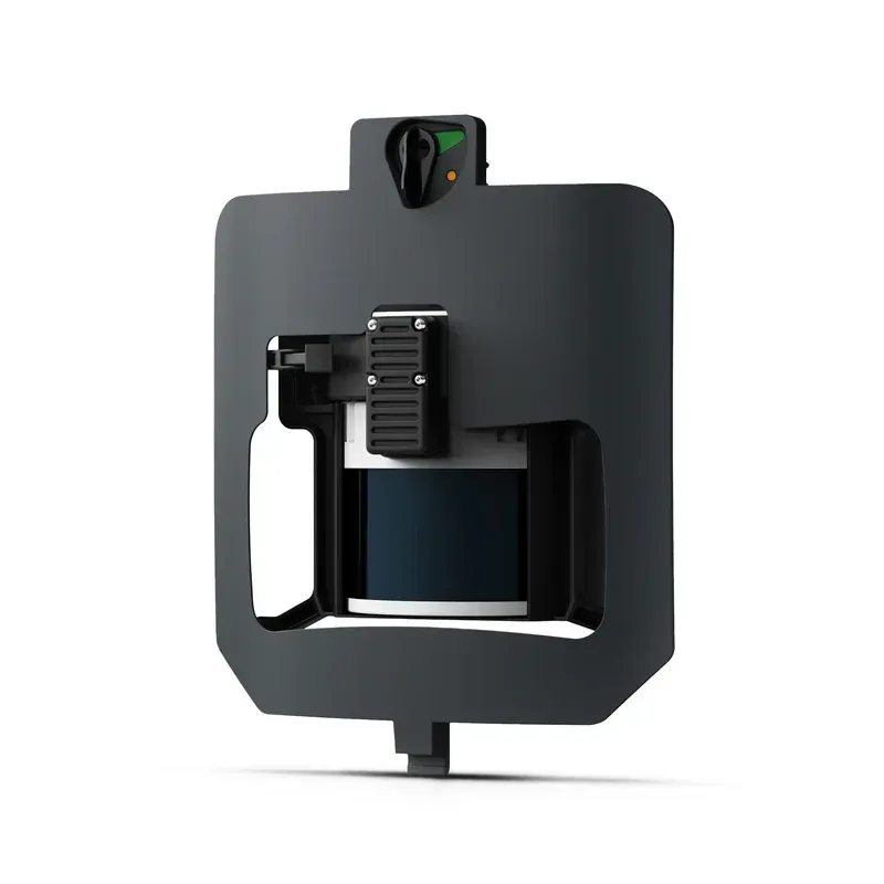
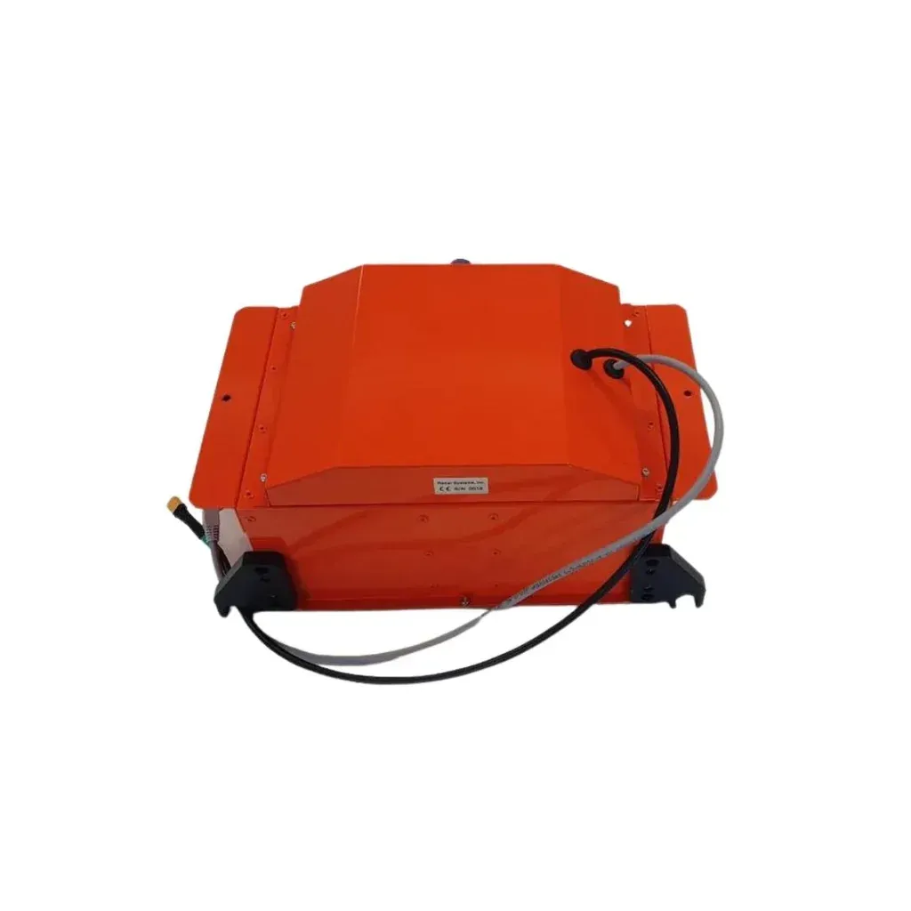
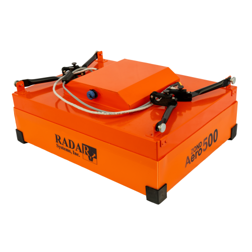
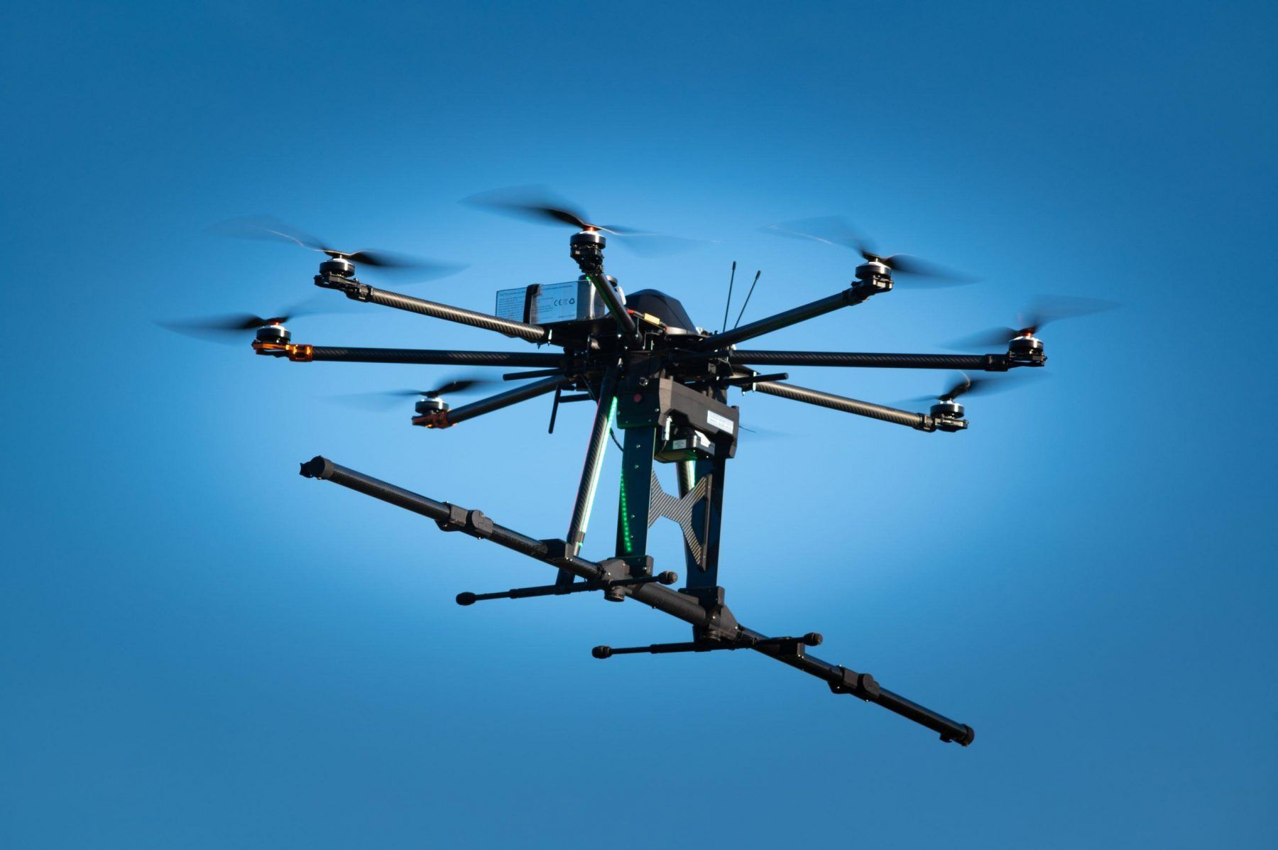
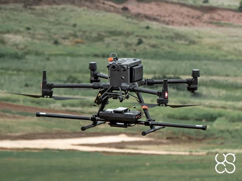
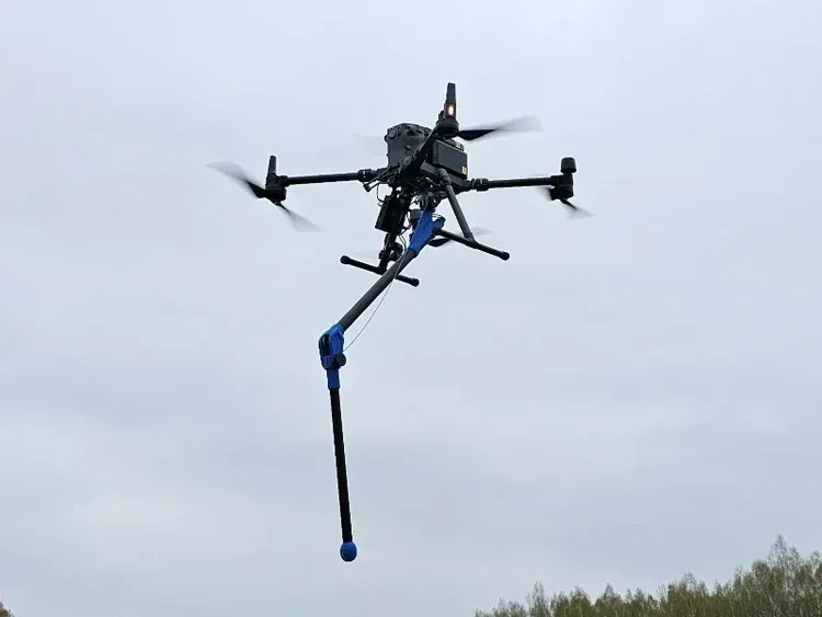
Specialized geophysical sensors such as ground-penetrating radar and magnetometers can be deployed on aerial platforms to support subsurface analysis and geological exploration. These instruments allow researchers to detect underground structures, buried objects, and geological anomalies without requiring invasive ground disturbance.
Aerial geophysical surveys provide valuable insights for archaeology, mineral exploration, environmental assessments, and infrastructure planning.
Key Environmental and Geophysical Applications
- Environmental monitoring and ecosystem analysis
- Forestry and vegetation mapping
- Watershed and terrain analysis
- Geological and mineral exploration
- Archaeological site detection
- Subsurface structure identification
- Habitat and wildlife monitoring
- Environmental impact assessments
High-Precision Data for Research and Analysis
Environmental and geophysical projects depend on accurate and repeatable data collection methods. Drone platforms equipped with specialized sensors allow researchers and technical teams to capture consistent datasets that support long-term monitoring and scientific analysis.
SISO Air solutions provide organizations with the technology and workflows needed to gather high-quality environmental and geophysical data. By integrating advanced sensors with aerial data collection systems, teams gain deeper insights into natural environments and subsurface conditions while improving efficiency and safety during field operations.
Why Choose SISO Air
We don’t take a one-size-fits-all approach. Our team works closely with organizations to understand industry-specific challenges, recommend the right technology, and provide training and support that enables long-term success.
Find the Right Solution for Your Industry
Every project comes with its own challenges, requirements, and data goals. SISO Air works closely with teams across surveying, construction, energy, public safety, and engineering to help identify the right combination of platforms, sensors, software, and training for the job.
Whether you’re exploring new technology or refining an existing workflow, our team is here to help you move forward with confidence.