
Terrestrial Scanning
High-Precision Terrestrial Scanning & 3D Mapping Solutions
Unlike traditional survey methods, terrestrial scanning uses laser technology to capture millions of data points that create comprehensive 3D point clouds that support engineering, construction, architecture, inspection, monitoring, and mapping workflows. At SISO Air, we offer cutting-edge terrestrial scanning technology from trusted industry leaders to help you capture precise spatial data for even the most demanding projects.
Why Terrestrial Scanning Matters
Terrestrial laser scanning elevates traditional survey and inspection methods by:
- Delivering highly accurate 3D representations of physical environments with minimal field time
- Capturing complete spatial context, enabling better analysis, measurement, and visualization
- Supporting interdisciplinary workflows across engineering, construction, heritage documentation, and monitoring
- Reducing risk and improving safety by allowing data collection from a distance without physical contact
Whether you need detailed as-built documentation, structural validation, or comprehensive site modeling, terrestrial scanning delivers actionable data that drives better project outcomes.
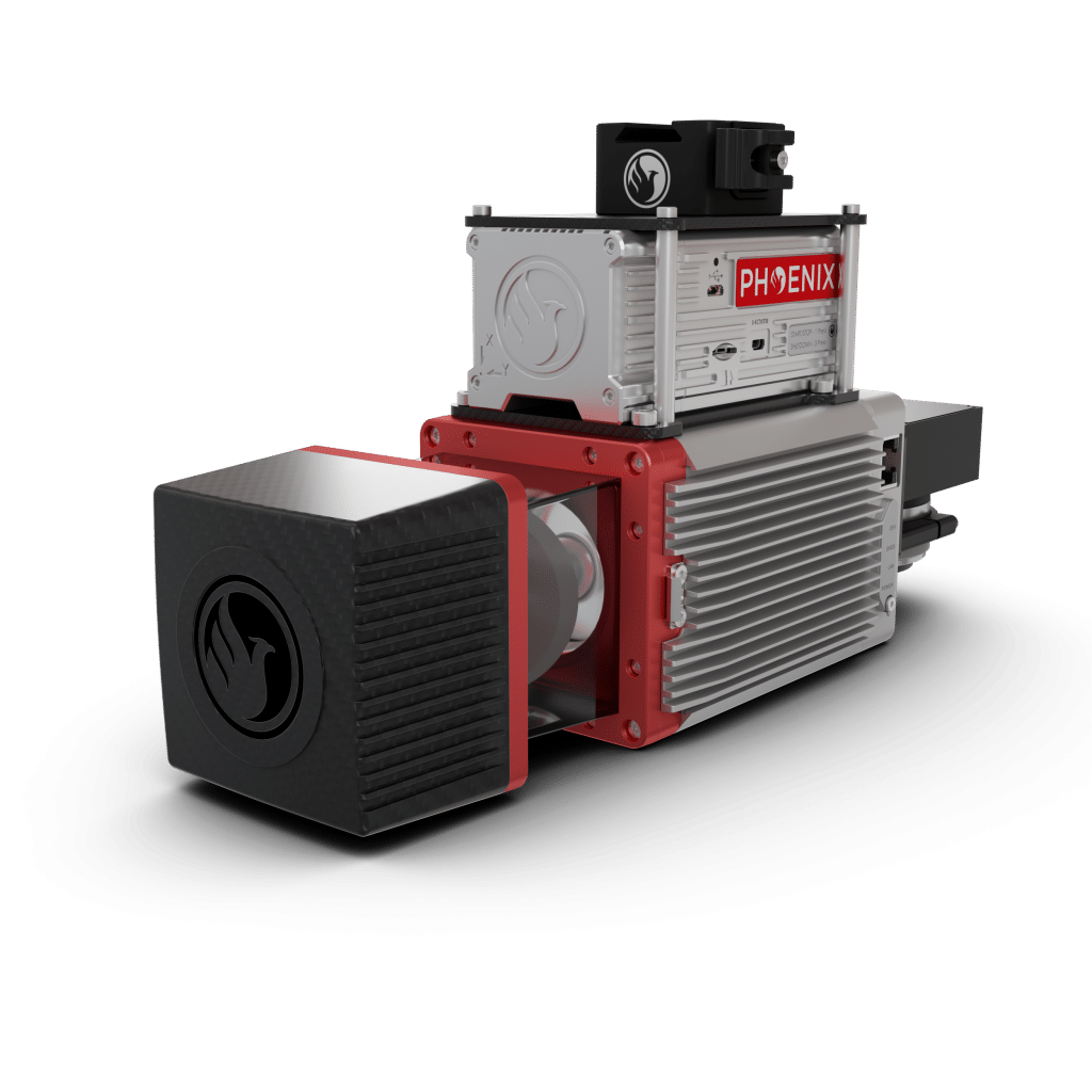
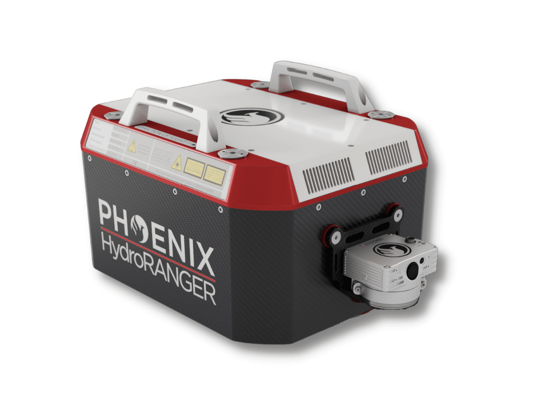
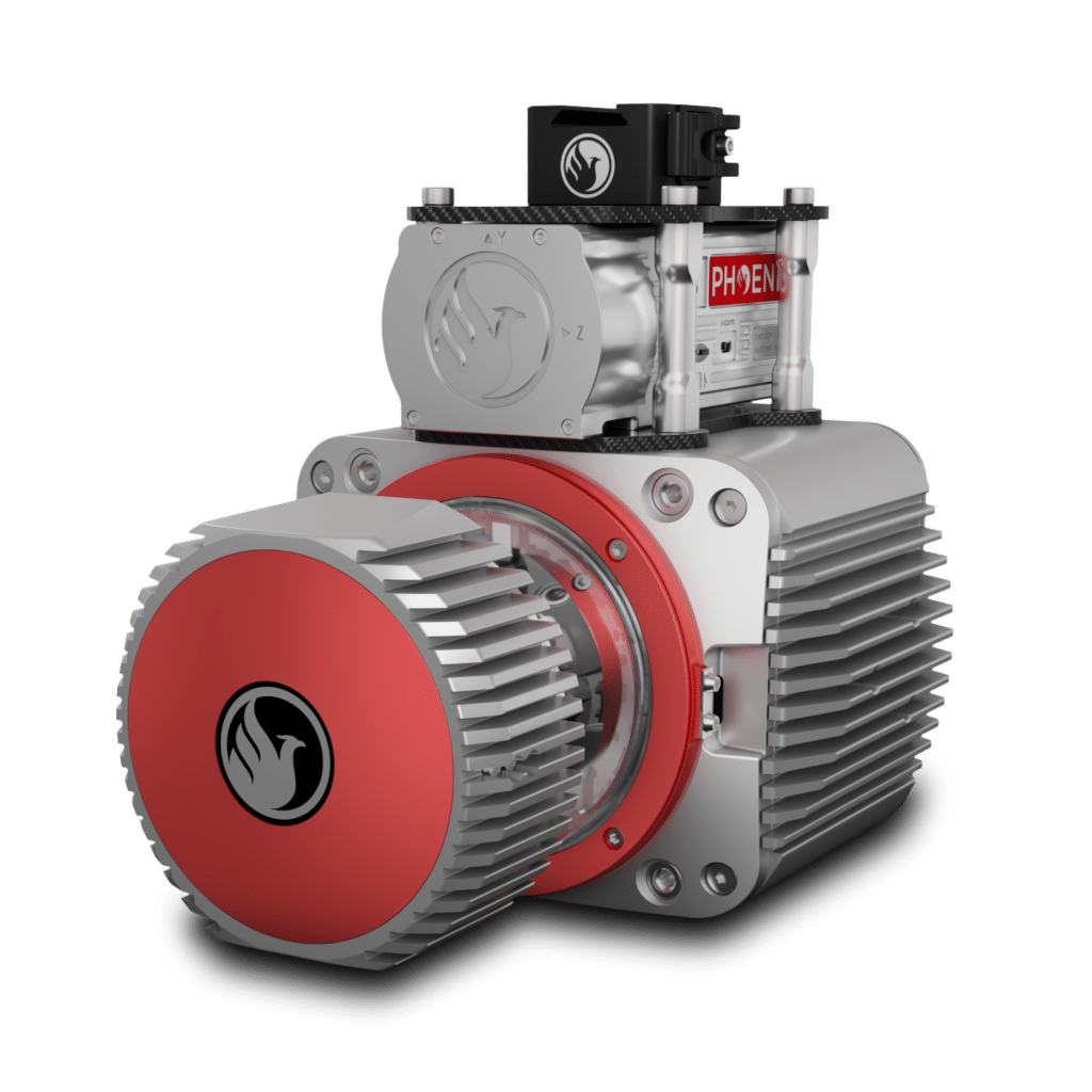
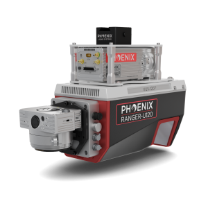
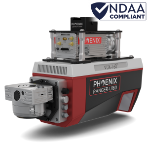
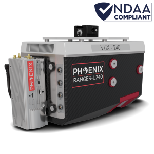
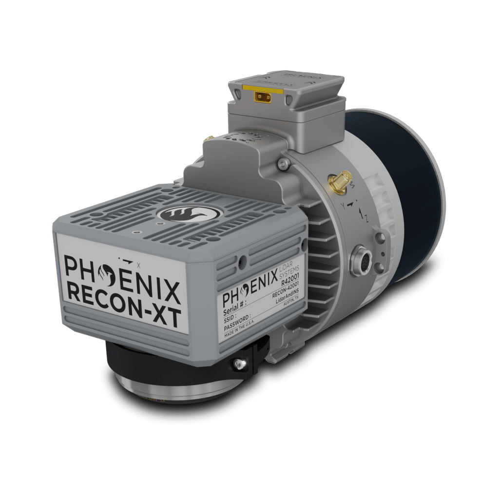
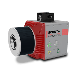
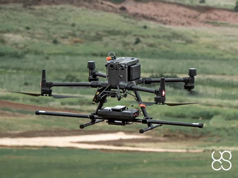
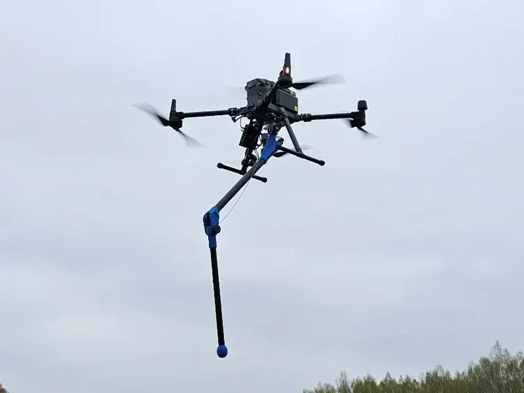
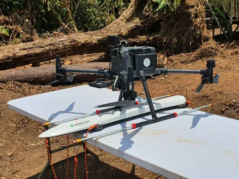
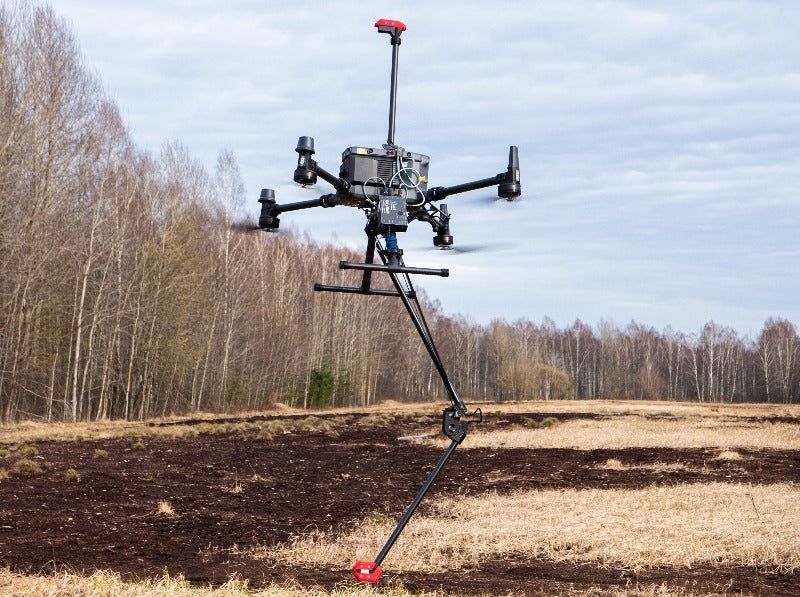
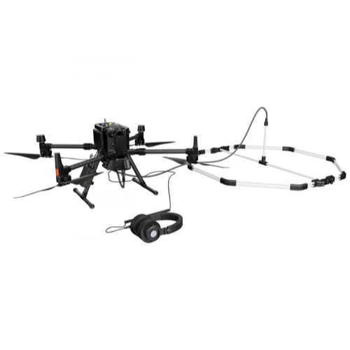
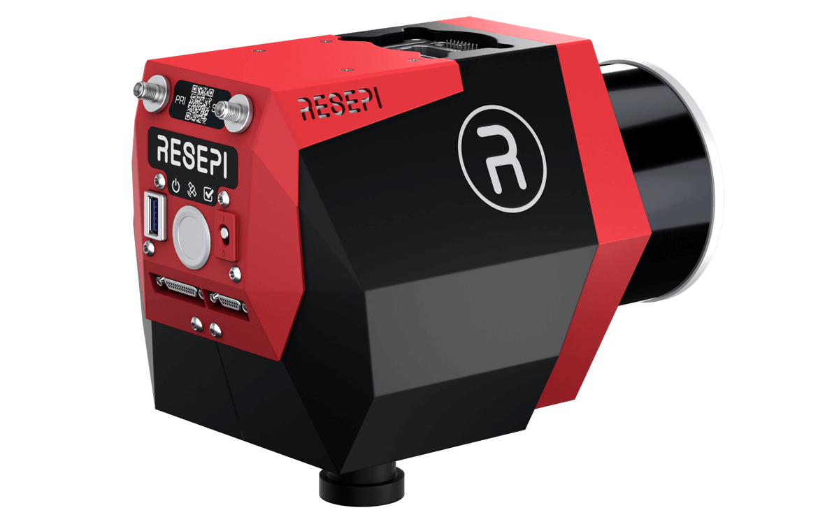
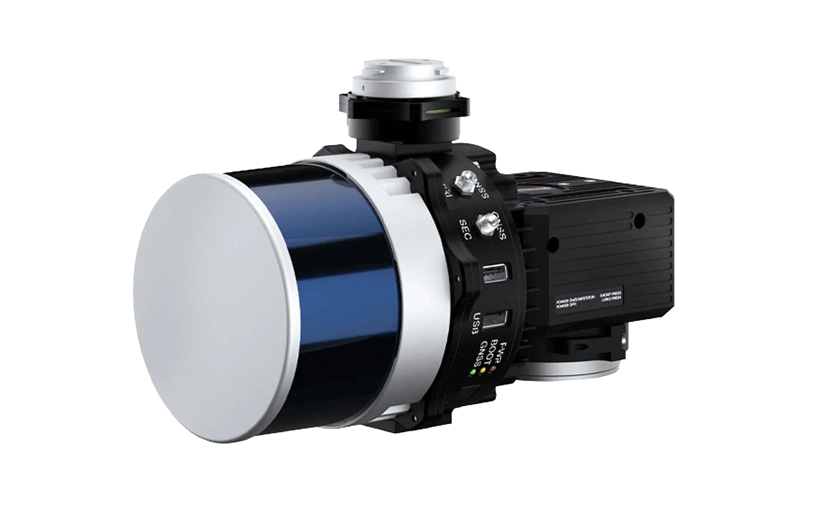
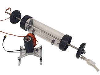
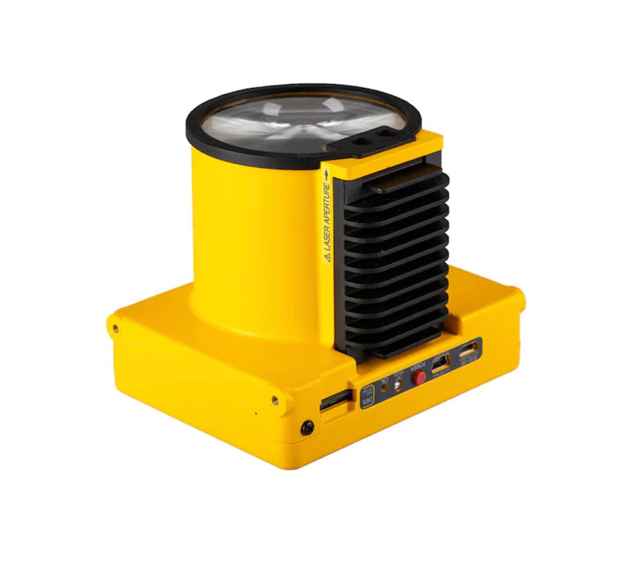
RIEGL Terrestrial Scanning Solutions
Why Choose SISO Air for Terrestrial Scanning
We help you match the right terrestrial scanning tools to your project needs. Our team can evaluate your goals and recommend systems—including RIEGL and Trimble hardware—that align with your workflow, accuracy requirements, and operational budget.
Find the Right Terrestrial Scanning Solution For Your Project
Connect with our experts to explore RIEGL scanning options, understand how terrestrial scanning can enhance your workflows, and determine the best fit for your data capture needs.

Find the Right Terrestrial Scanning Solution For Your Project
Connect with our experts to explore RIEGL scanning options, understand how terrestrial scanning can enhance your workflows, and determine the best fit for your data capture needs.