
Technology Built Around the Mission
Drone Solutions Tailored to Your Industry
SISO Air supports a wide range of industries with advanced drone platforms, sensor payloads, software, and training. Our solutions are designed to help organizations capture accurate data, streamline workflows, and deliver reliable results across diverse applications.
Modern aerial data collection requires more than a drone in the air. Successful missions depend on the integration of advanced hardware, specialized sensors, and powerful software tools that transform raw data into usable insights. SISO Air builds technology workflows designed around the operational needs of each industry, ensuring that data collection, processing, and delivery align with real-world project requirements.
By combining aerial platforms, terrestrial scanning technologies, advanced payloads, and professional processing software, SISO Air delivers complete data acquisition solutions that support planning, inspections, analysis, and long-term asset management.
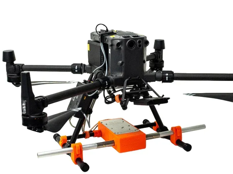
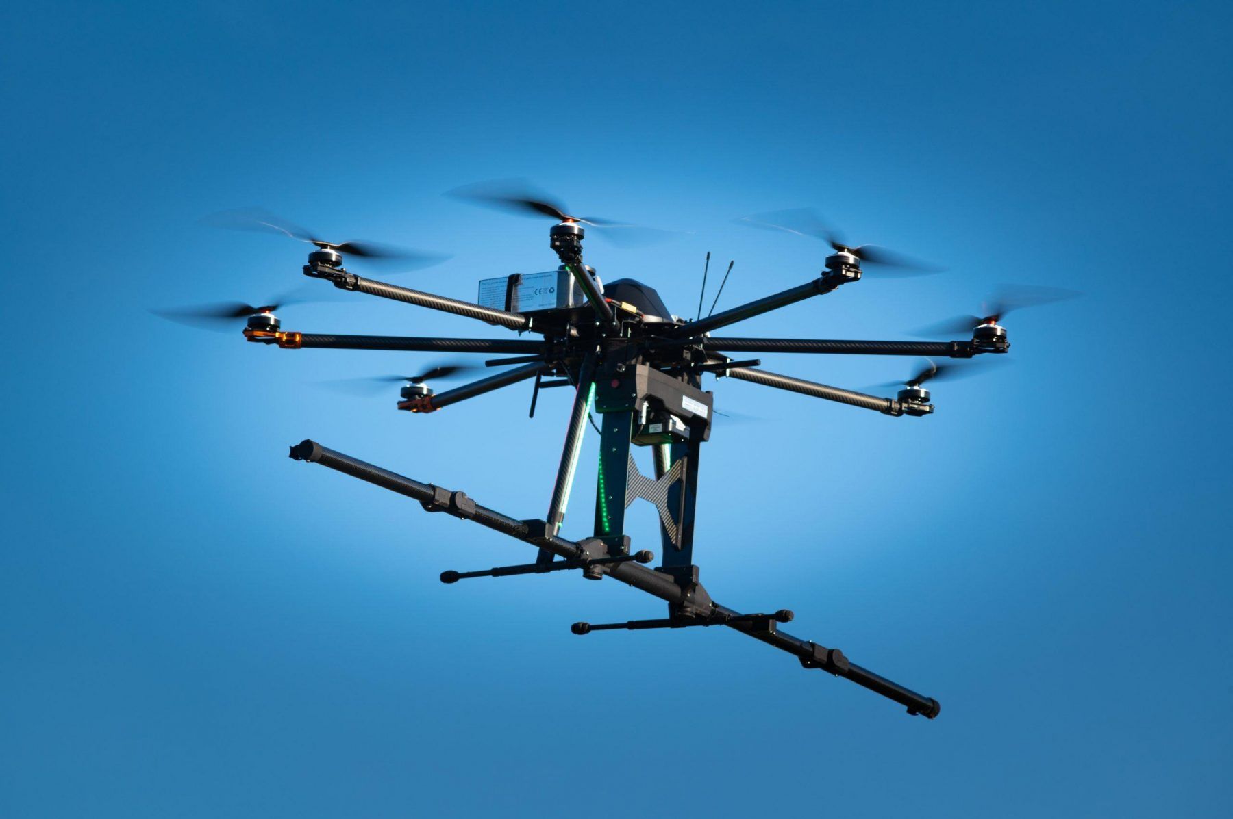
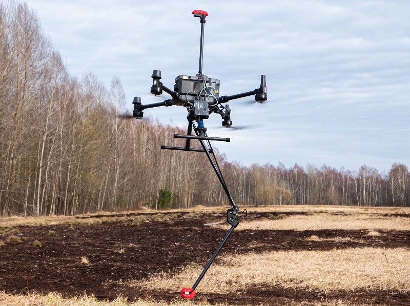
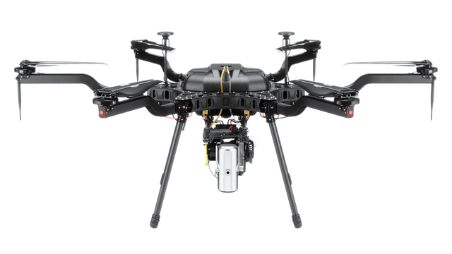
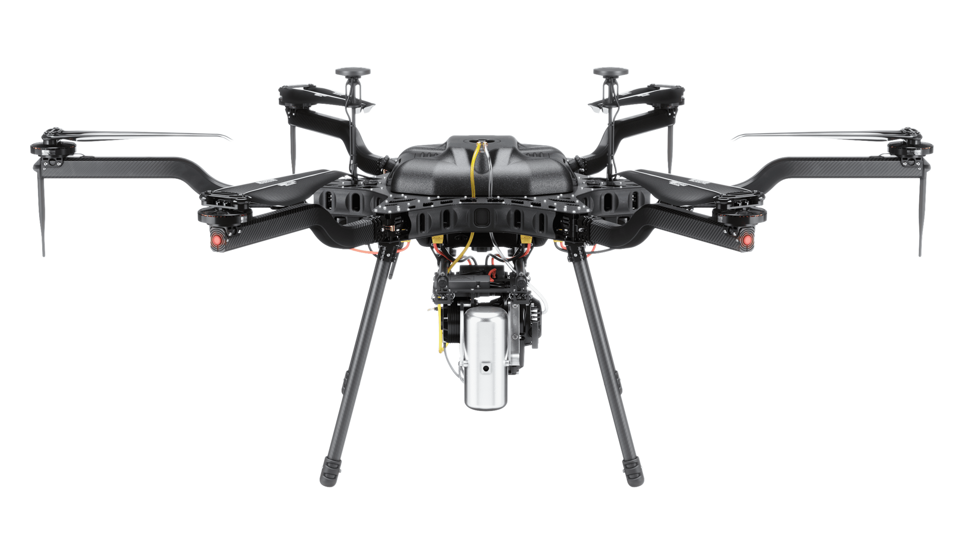
Aerial Drone Platforms
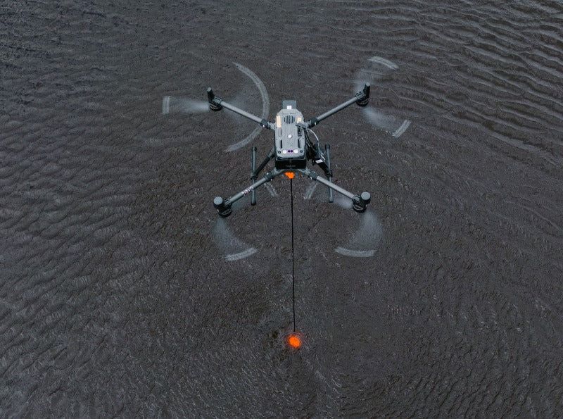
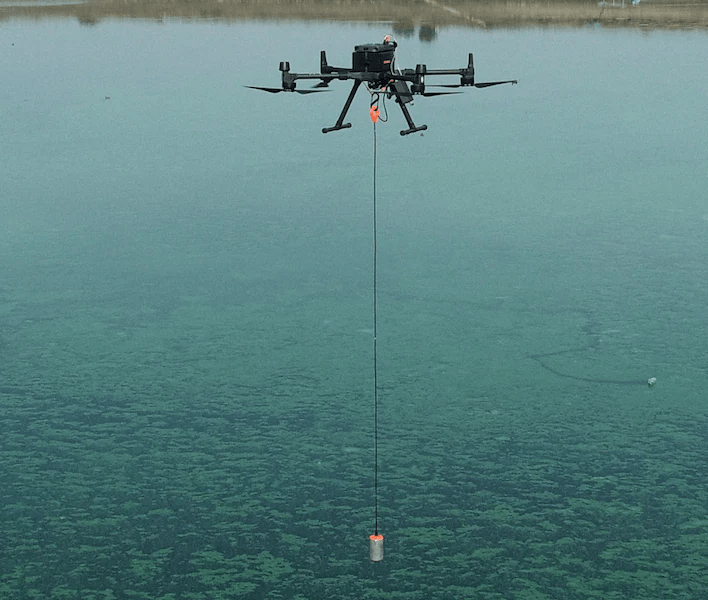
SISO Air deploys professional-grade drone systems designed for industrial data collection and inspection missions. These platforms provide stable flight performance, precise navigation, and the ability to carry advanced sensors that capture high-resolution aerial data across large or complex environments.
Drone platforms allow teams to safely access difficult locations, capture detailed imagery, and collect accurate spatial data that supports mapping, inspections, and engineering analysis.
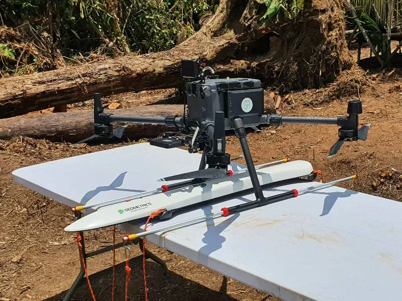
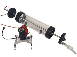
Terrestrial Scanning and Ground Data Capture
In addition to aerial systems, terrestrial scanning technologies help capture highly detailed ground-level measurements and structural data. These tools complement drone mapping by providing precise point cloud data and structural geometry that can be integrated with aerial datasets.
Combining aerial and terrestrial data collection allows teams to produce more complete digital models of infrastructure, construction sites, and natural environments.
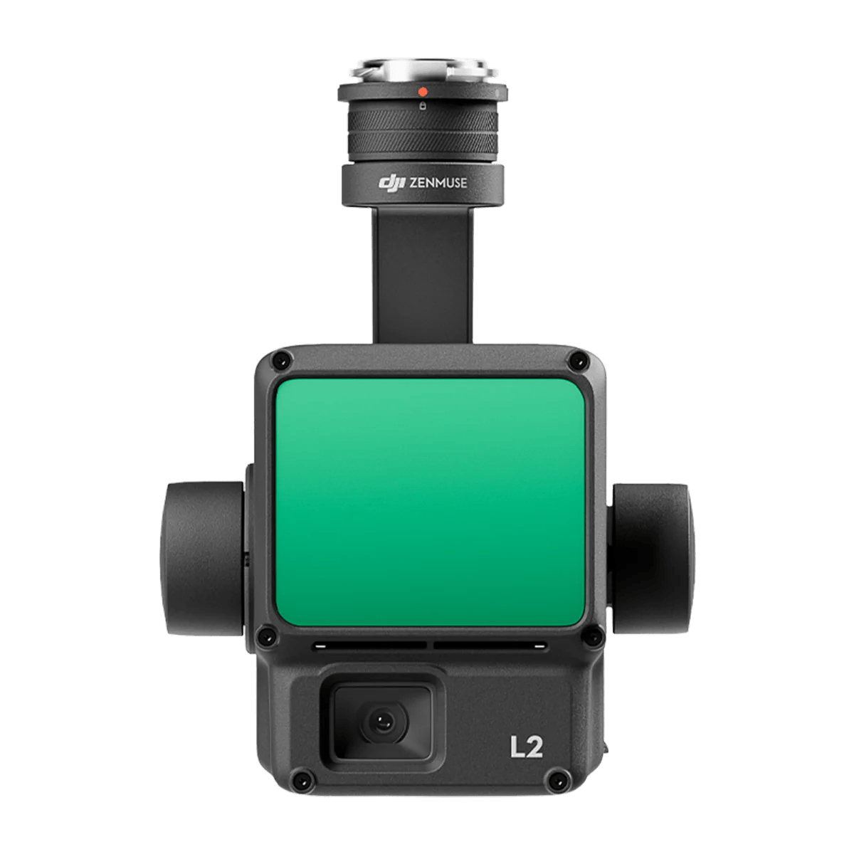
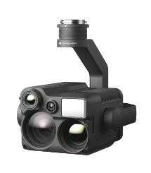
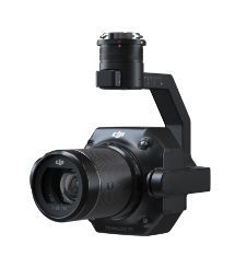
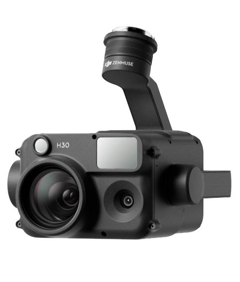
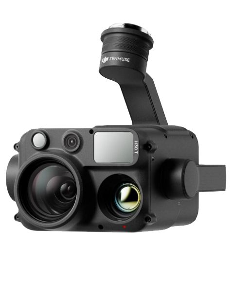
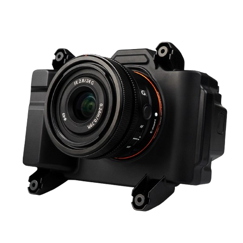
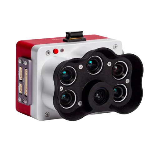
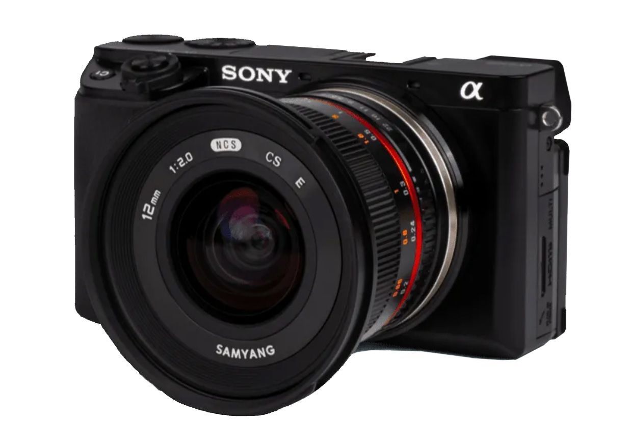
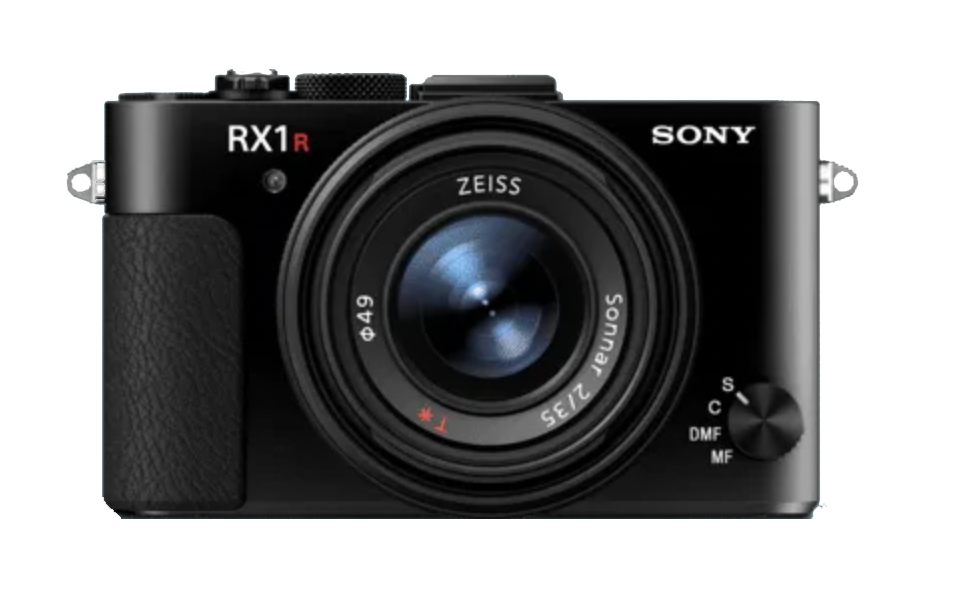
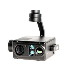
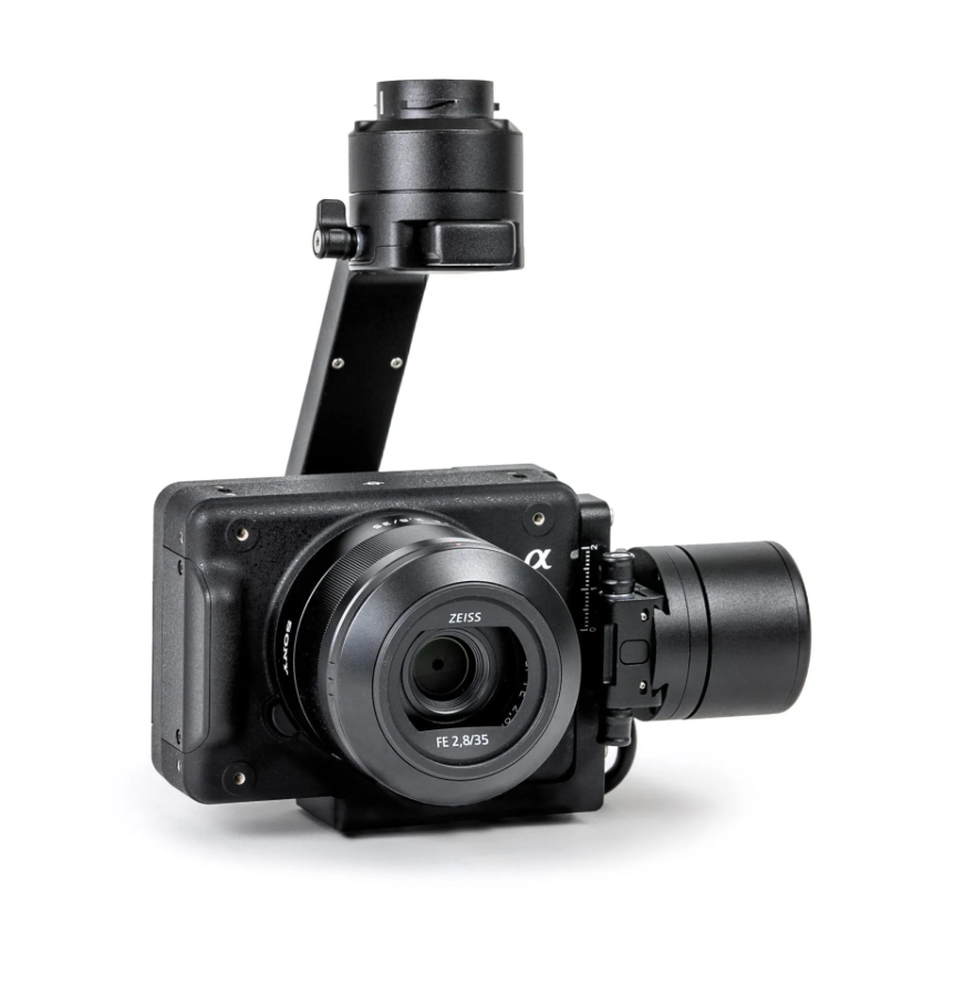
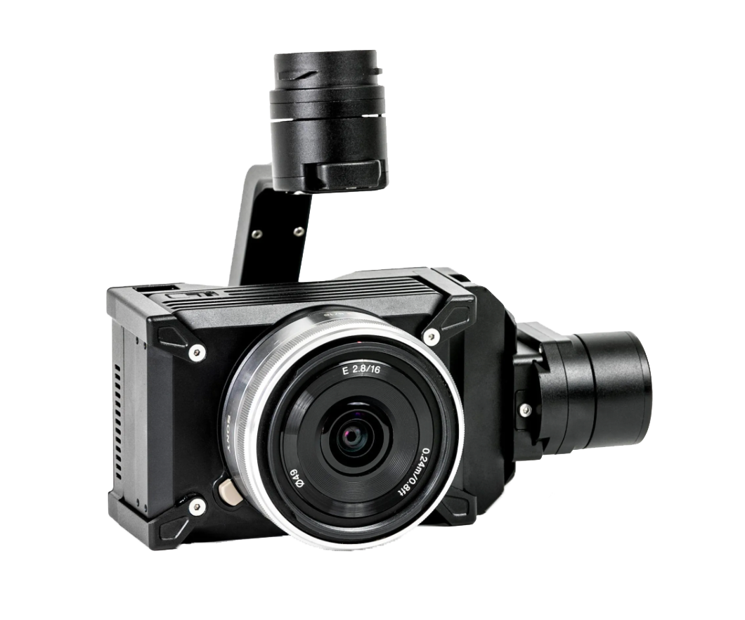
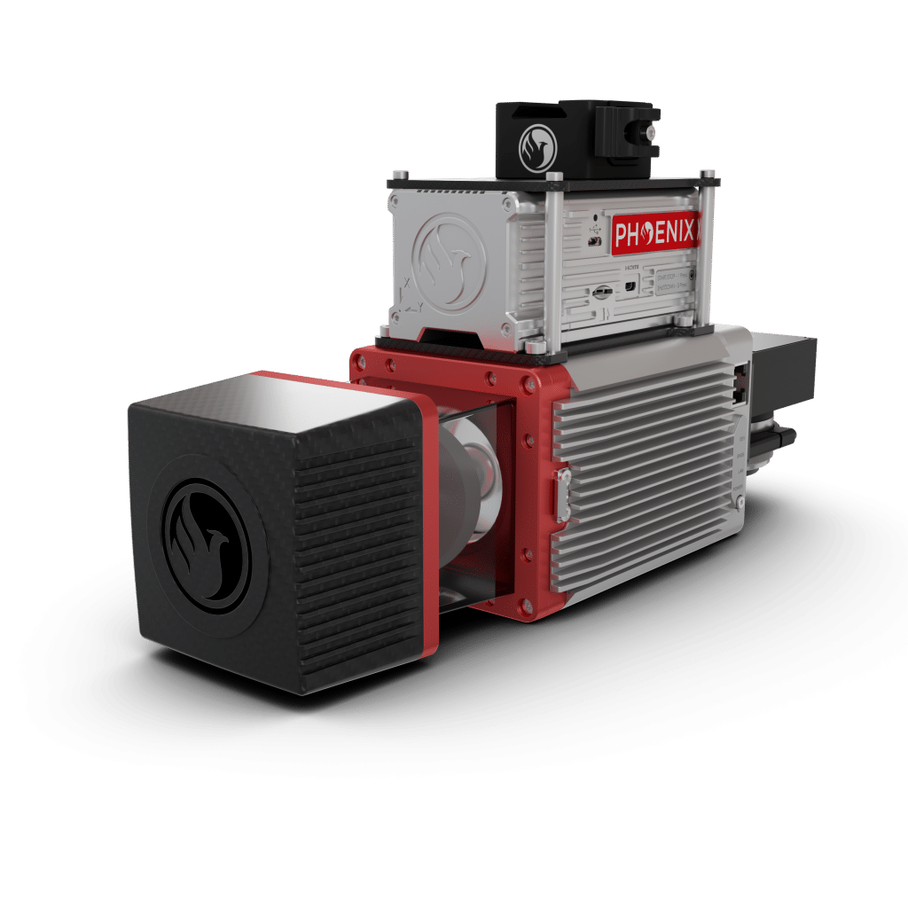
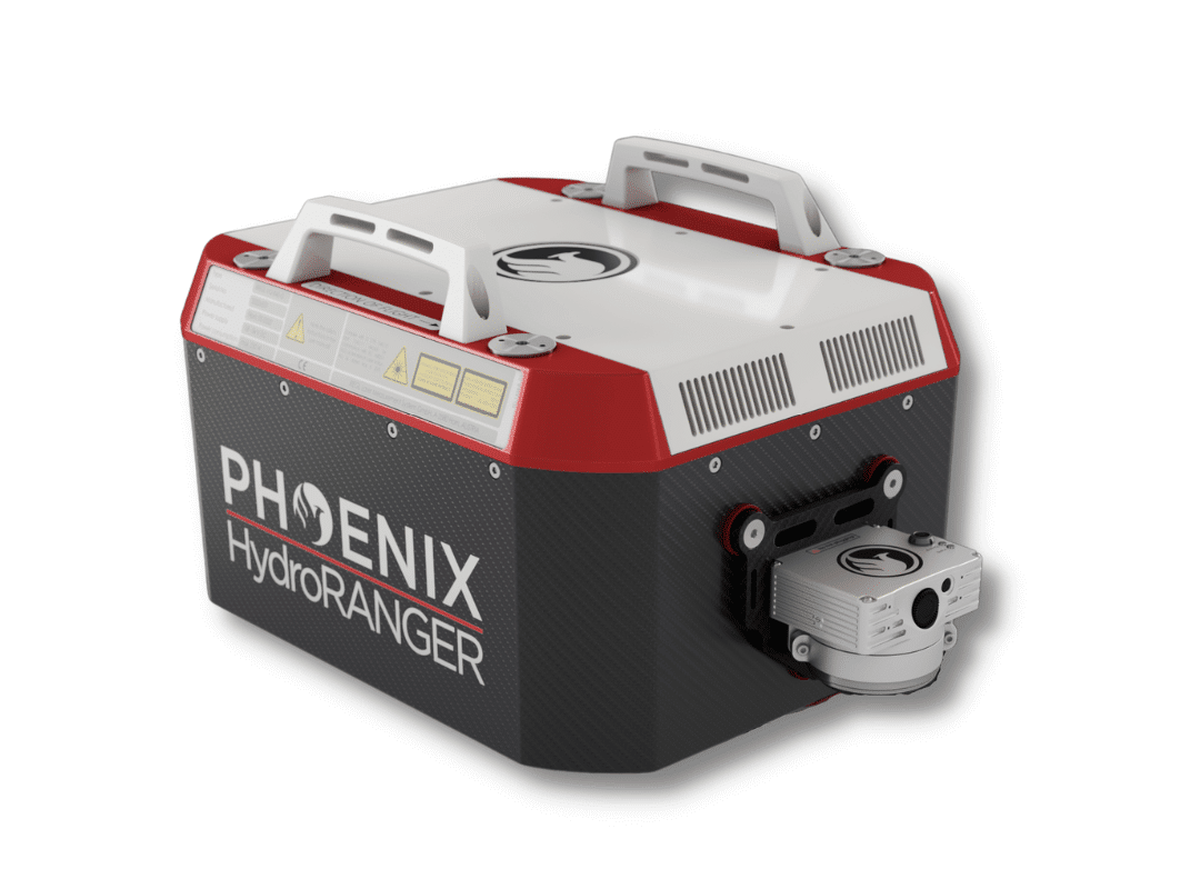
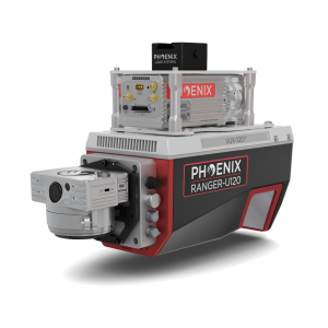
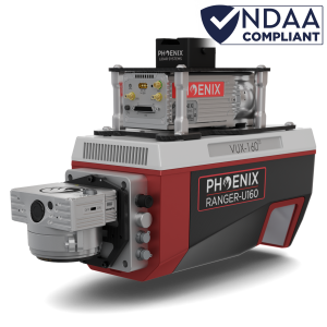
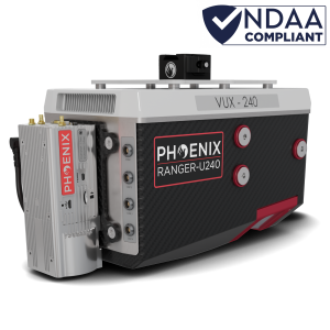
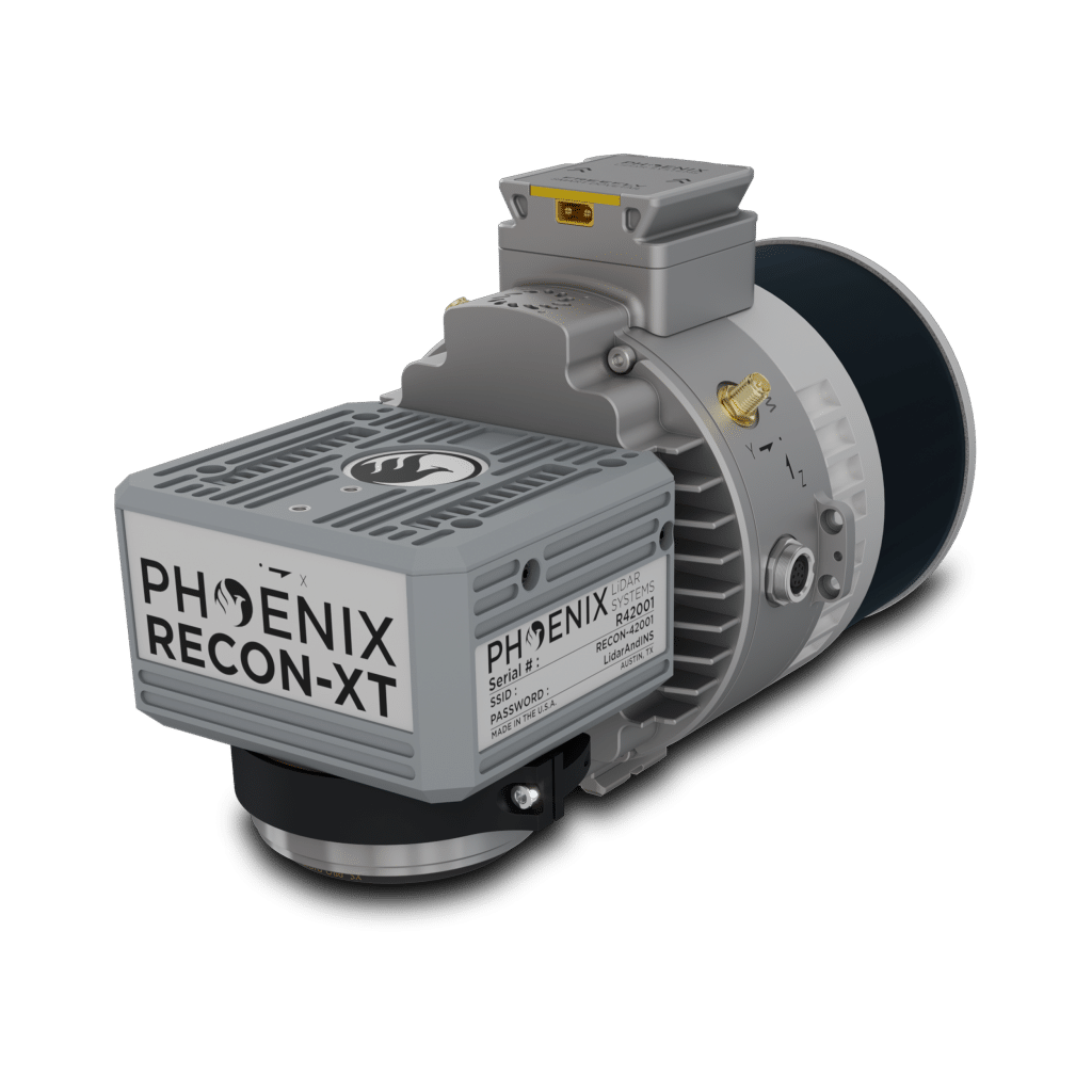
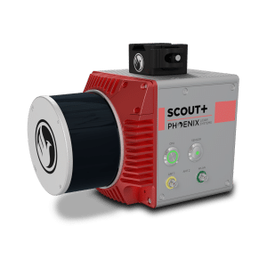
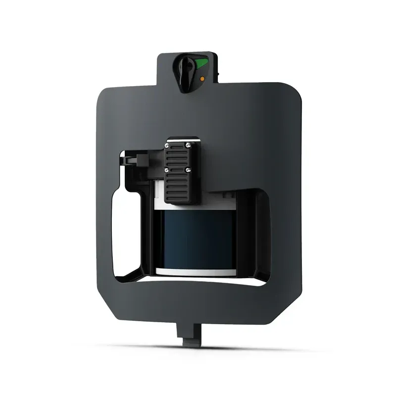
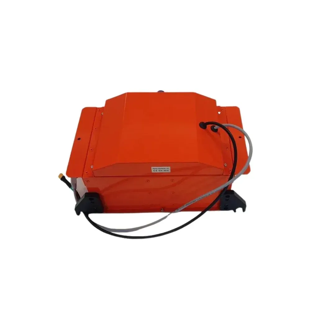
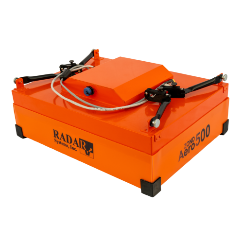
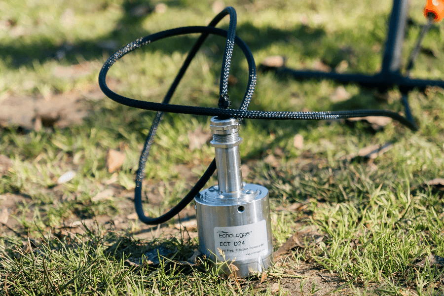
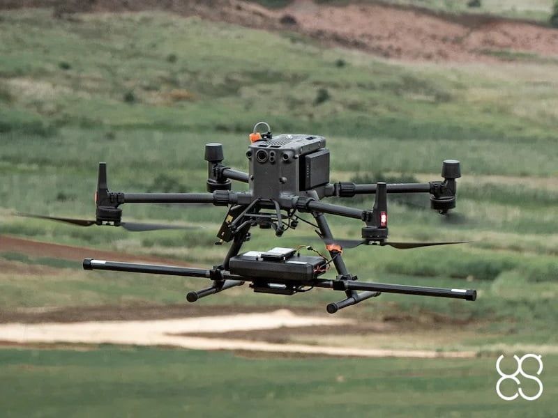
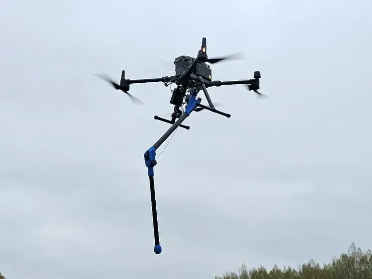
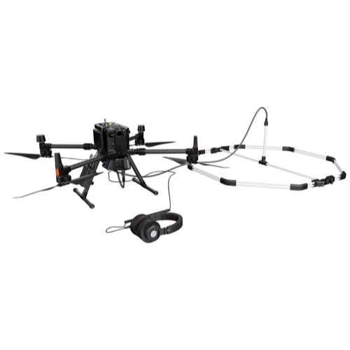
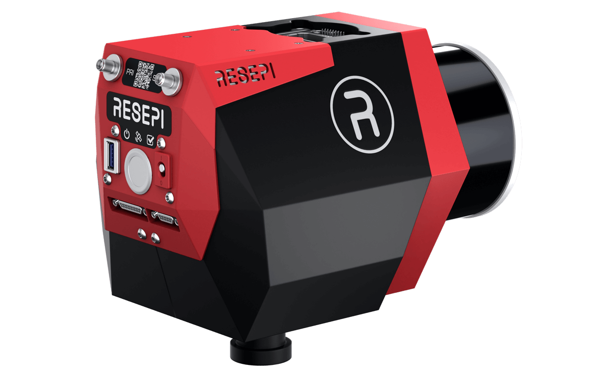
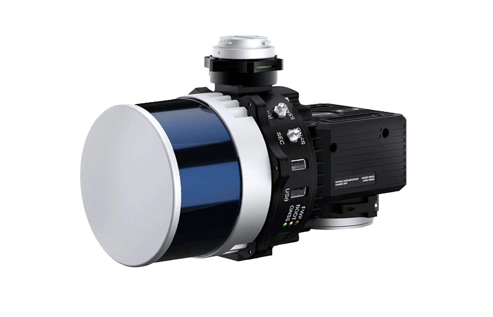
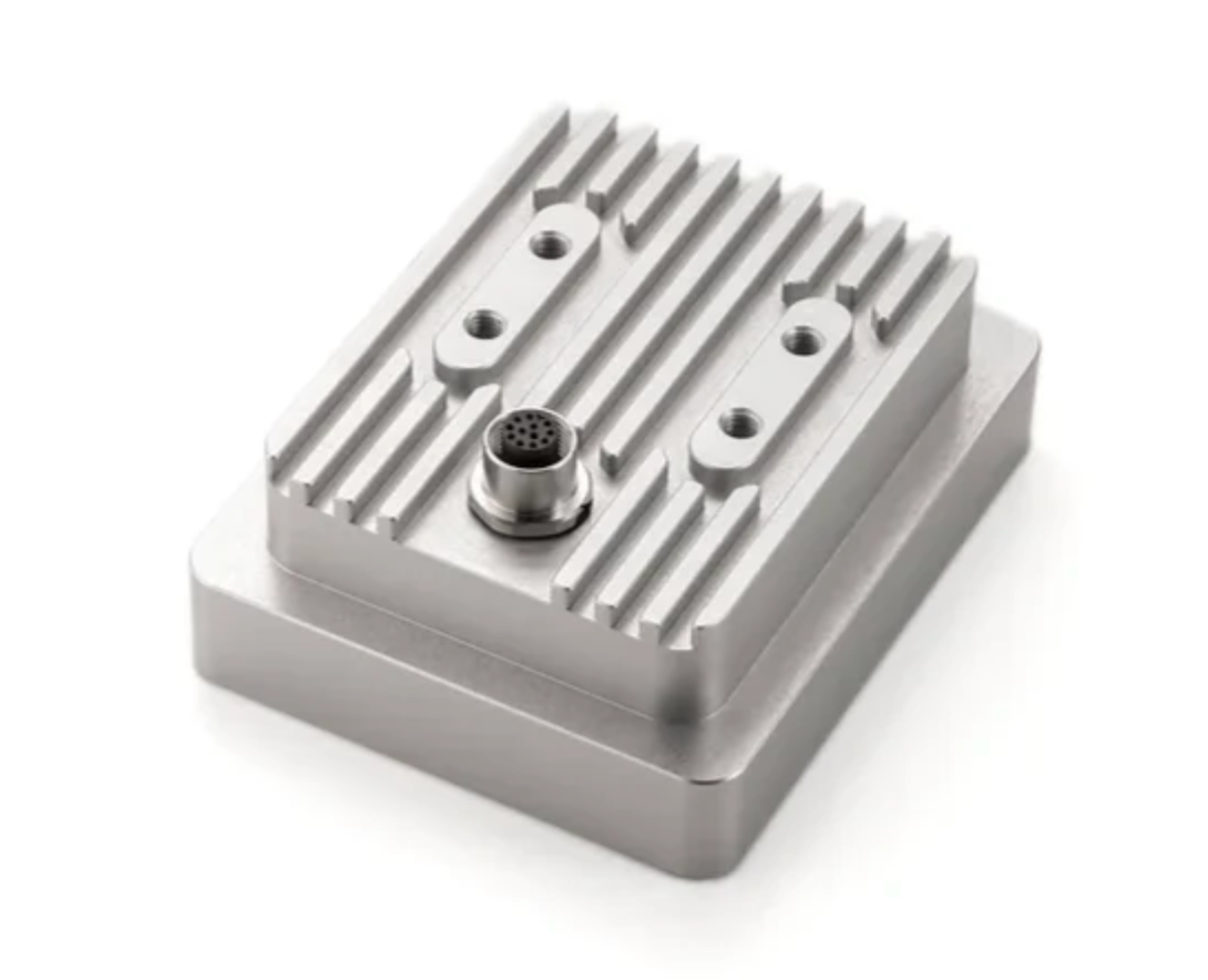
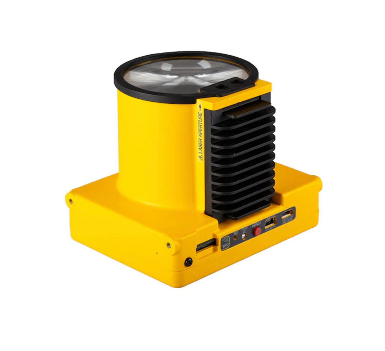
Advanced Sensor Payloads
Different industries require specialized sensors to capture the information needed for inspections and analysis. SISO Air integrates a range of payload technologies including high-resolution optical cameras, thermal imaging sensors, LiDAR systems, and other specialized instruments that collect precise environmental and structural data.
These payloads allow drone missions to gather information that supports engineering evaluations, infrastructure inspections, and geospatial mapping projects.
Professional Data Processing and Software
Capturing aerial data is only the first step in the workflow. SISO Air uses advanced processing software to convert collected imagery and sensor data into meaningful outputs such as orthomosaic maps, 3D models, point clouds, and analytical reports.
These deliverables integrate with industry-standard GIS, engineering, and modeling platforms, allowing organizations to incorporate aerial intelligence into their existing planning and analysis workflows.
From Data Collection to Actionable Insights
SISO Air technology solutions are designed to support the entire data lifecycle—from mission planning and field data acquisition to processing, analysis, and final delivery. This integrated approach ensures that organizations receive reliable information they can use to support operational decisions, engineering projects, and long-term asset management strategies.
By building technology systems around real mission requirements, SISO Air enables organizations to capture accurate data, streamline workflows, and gain deeper insights into the environments and infrastructure they manage.
Why Choose SISO Air
We don’t take a one-size-fits-all approach. Our team works closely with organizations to understand industry-specific challenges, recommend the right technology, and provide training and support that enables long-term success.
Find the Right Solution for Your Industry
Every project comes with its own challenges, requirements, and data goals. SISO Air works closely with teams across surveying, construction, energy, public safety, and engineering to help identify the right combination of platforms, sensors, software, and training for the job.
Whether you’re exploring new technology or refining an existing workflow, our team is here to help you move forward with confidence.