
Drone Solutions for Public Safety & Emergency Response
Drone Solutions Tailored to Your Industry
SISO Air supports a wide range of industries with advanced drone platforms, sensor payloads, software, and training. Our solutions are designed to help organizations capture accurate data, streamline workflows, and deliver reliable results across diverse applications.
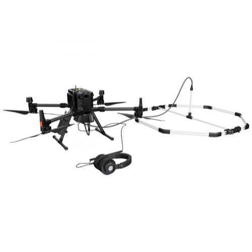
Public safety teams require reliable information quickly when emergencies unfold. Drone technology provides first responders with immediate aerial visibility, helping agencies evaluate situations faster and make informed decisions in real time. SISO Air solutions support emergency response teams with rapid aerial intelligence, enabling safer operations, improved situational awareness, and faster damage assessment during critical incidents.
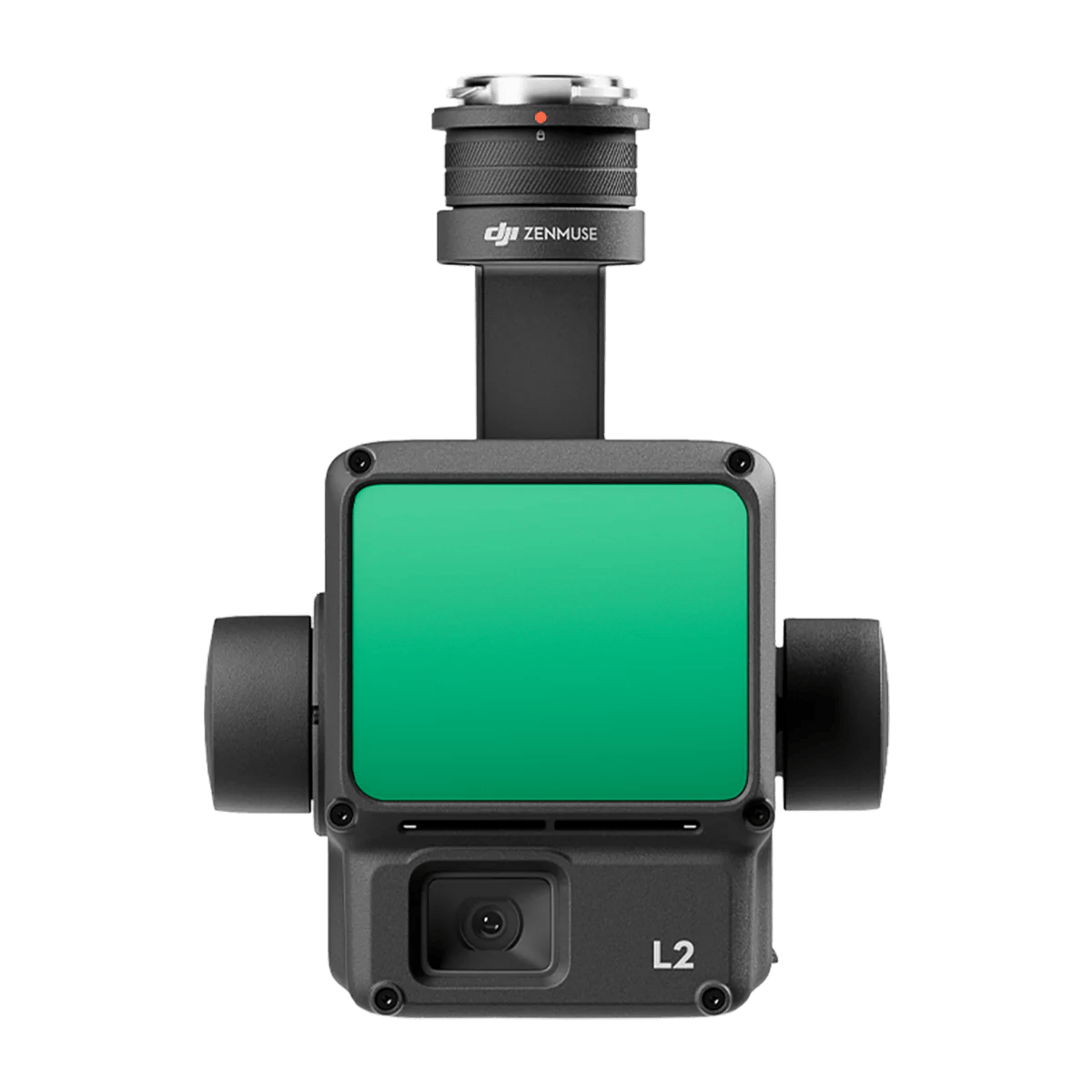
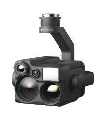
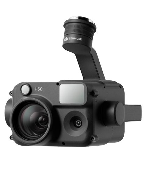
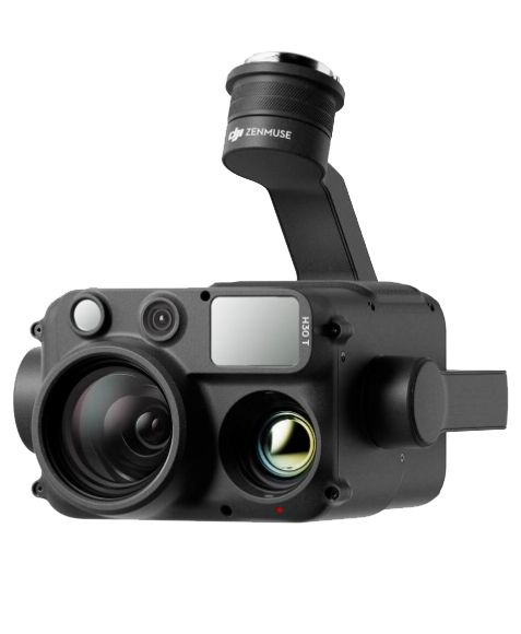
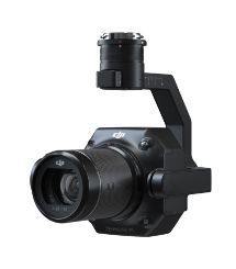
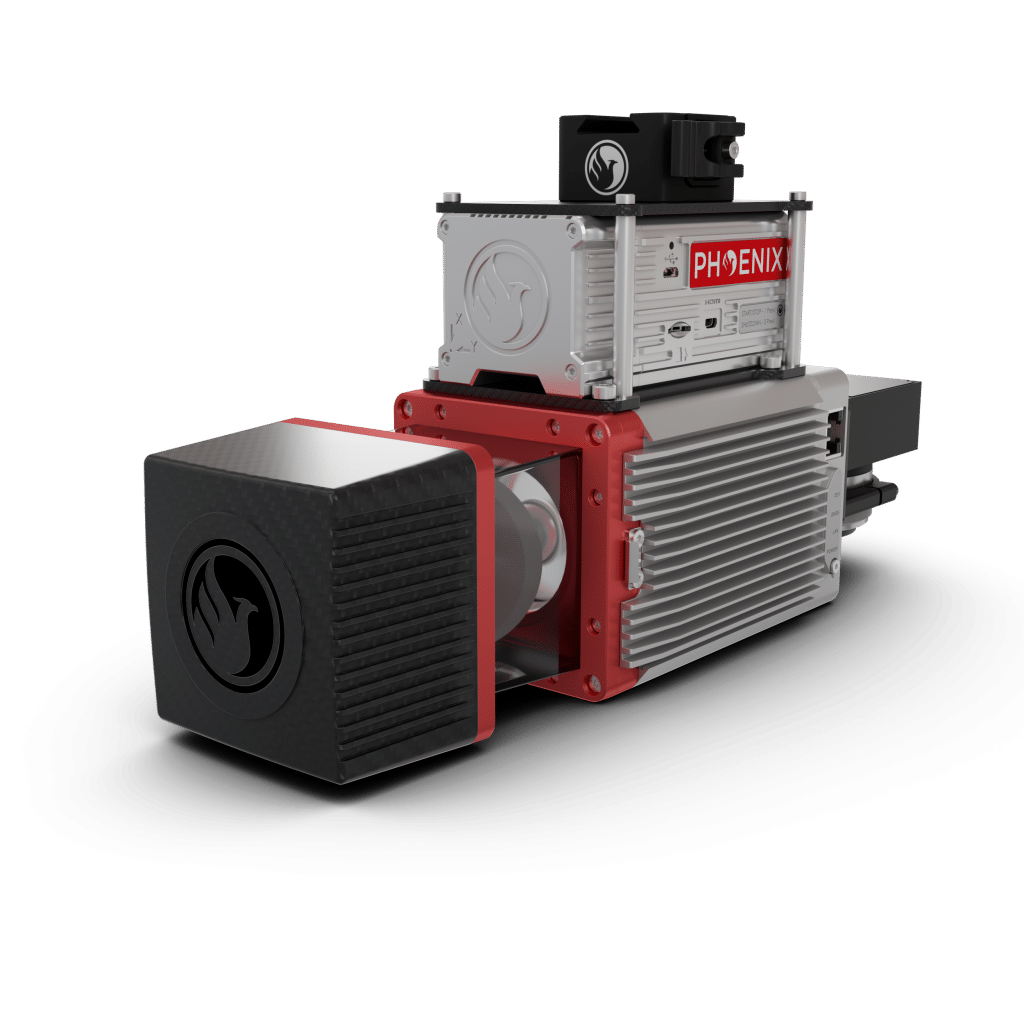
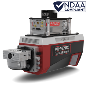
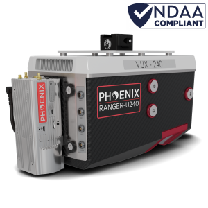
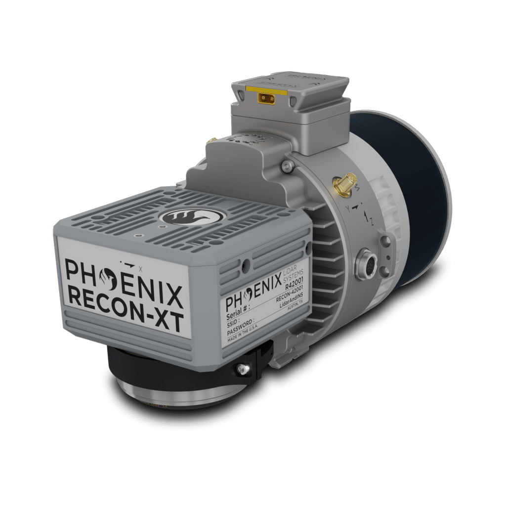
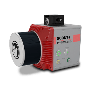
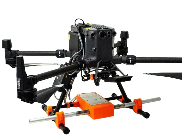
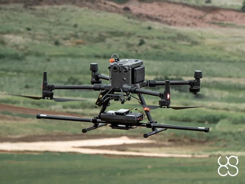
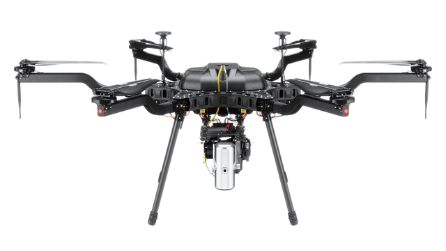
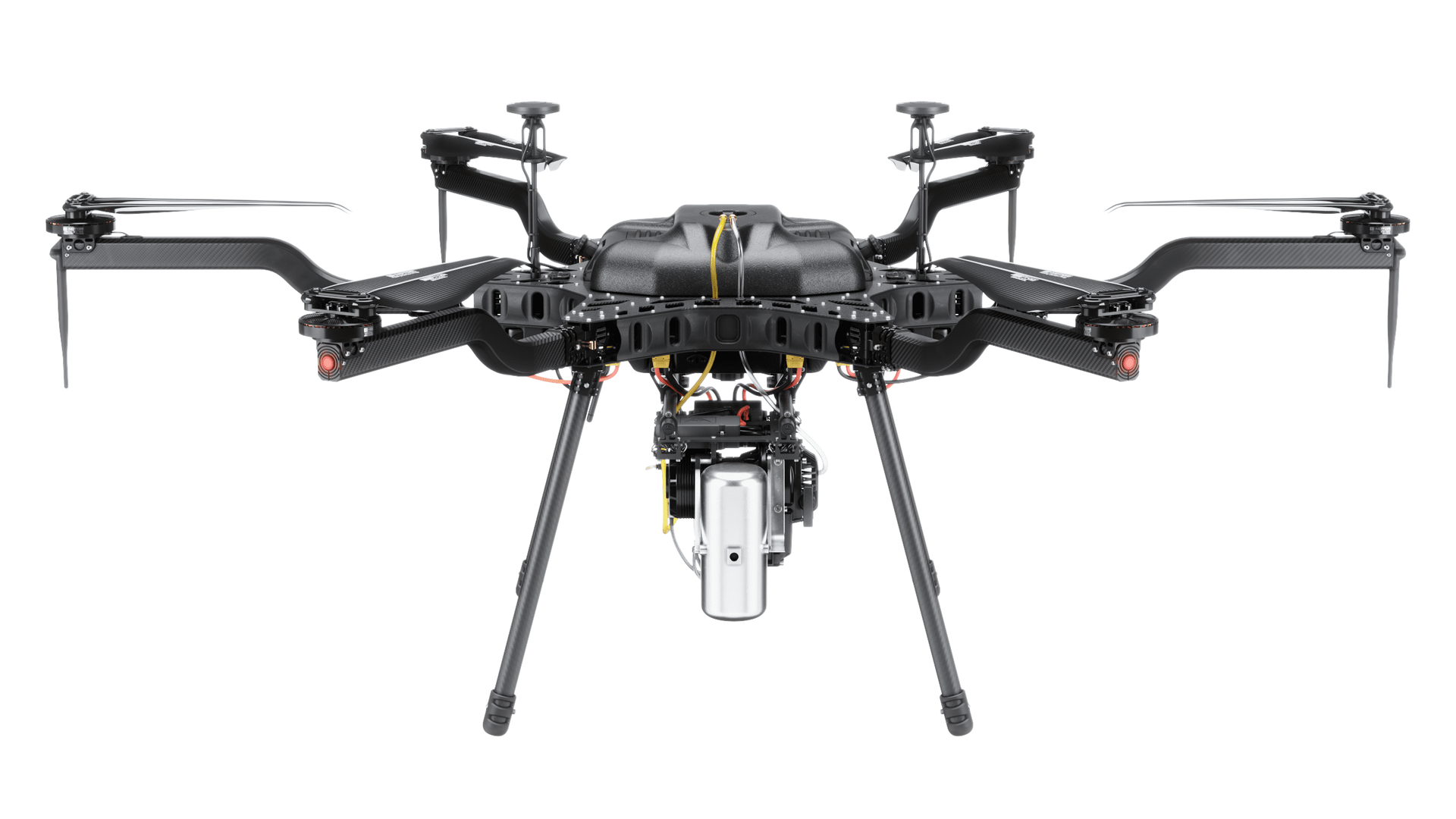
By deploying advanced drone platforms equipped with high-resolution cameras, thermal sensors, and mapping capabilities, public safety professionals can gather actionable data without putting personnel at unnecessary risk. From disaster response to search and rescue operations, drones provide a powerful tool for agencies responsible for protecting communities.
Improving Situational Awareness During Emergencies
During active incidents, understanding the environment is essential for effective response. Drones provide aerial views of complex scenes, allowing emergency teams to quickly evaluate hazards, identify safe access routes, and coordinate response efforts. Real-time aerial imagery helps command staff maintain a clear understanding of the situation as it evolves.
This aerial perspective improves communication between field teams and command centers, ensuring that decisions are based on accurate and up-to-date information.
Rapid Disaster Assessment
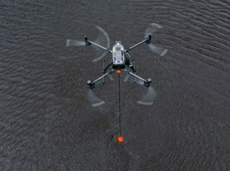
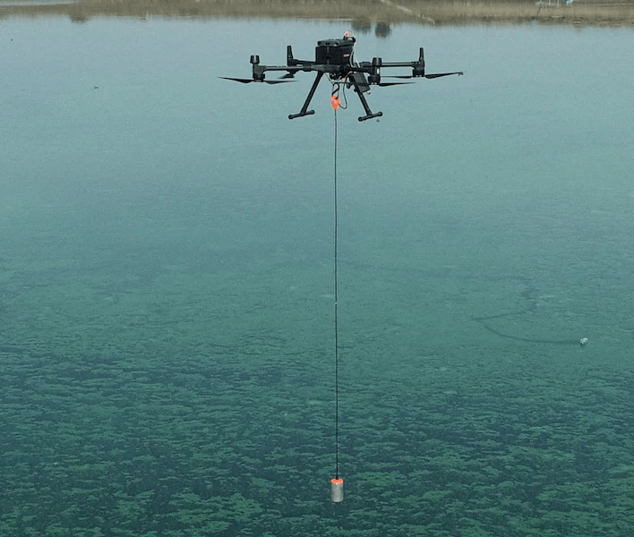
Following natural disasters such as hurricanes, tornadoes, floods, or wildfires, drones can quickly survey affected areas and collect critical data. Aerial imagery allows emergency managers to assess damage, locate blocked roads, identify hazards, and prioritize response efforts without waiting for traditional inspection methods.
This rapid assessment capability helps agencies allocate resources efficiently and begin recovery operations faster.
Search and Rescue Operations
Drones are increasingly used in search and rescue missions where time is critical. Equipped with thermal cameras and advanced sensors, drones can scan large areas quickly, locate missing individuals, and guide rescue teams to their location. Aerial coverage significantly reduces the time required to search difficult terrain or large disaster zones.
This technology allows agencies to conduct safer and more efficient rescue missions while improving the chances of successful outcomes.
Key Applications for Public Safety Drone Operations
- Disaster damage assessment
- Search and rescue missions
- Wildfire monitoring and mapping
- Flood response and waterway monitoring
- Traffic incident assessment
- Hazardous environment inspection
- Emergency scene documentation
- Infrastructure damage evaluation
Reliable Data When Every Minute Matters
Public safety agencies must operate in unpredictable environments where response time and accurate information are critical. Drone technology provides emergency teams with dependable aerial data that improves decision-making, enhances responder safety, and strengthens overall operational effectiveness.
Siso Air supports public safety organizations with advanced drone solutions designed for reliability, speed, and precision. By integrating aerial intelligence into emergency response workflows, agencies gain the ability to assess situations faster, respond more effectively, and protect both responders and the communities they serve.
Why Choose SISO Air
We don’t take a one-size-fits-all approach. Our team works closely with organizations to understand industry-specific challenges, recommend the right technology, and provide training and support that enables long-term success.
Find the Right Solution for Your Industry
Every project comes with its own challenges, requirements, and data goals. SISO Air works closely with teams across surveying, construction, energy, public safety, and engineering to help identify the right combination of platforms, sensors, software, and training for the job.
Whether you’re exploring new technology or refining an existing workflow, our team is here to help you move forward with confidence.