


Serving Georgia, Florida, Alabama, and Nationwide Drone Solutions
Quick links
HOURS
M-F: 8:00 AM - 5:00 PM
Sat-Sun: Closed
SISO AIR
All Rights Reserved | SISO Air | Privacy Policy| Powered by Aletheia Digital
DJI
Wingtra
WISPR
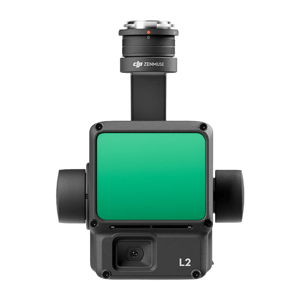
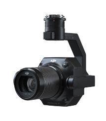
Zenmuse L2
Zenmuse L2 integrates frame LiDAR, a self-developed high-accuracy IMU system, and a 4/3 CMOS RGB mapping camera, providing DJI flight platforms with more precise, efficient, and reliable geospatial data acquisition.
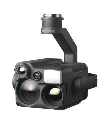
Zenmuse H20N
The Zenmuse H20N integrates starlight sensors into its zoom and wide-angle cameras. Pair this with dual zoom thermal cameras and a laser rangefinder, and you have a versatile hybrid payload that rises to the occasion.

Zenmuse P1
The Zenmuse P1 integrates a full-frame sensor with interchangeable fixed-focus lenses on a 3-axis stabilized gimbal. Designed for photogrammetry flight missions, it takes efficiency and accuracy to a whole new level.
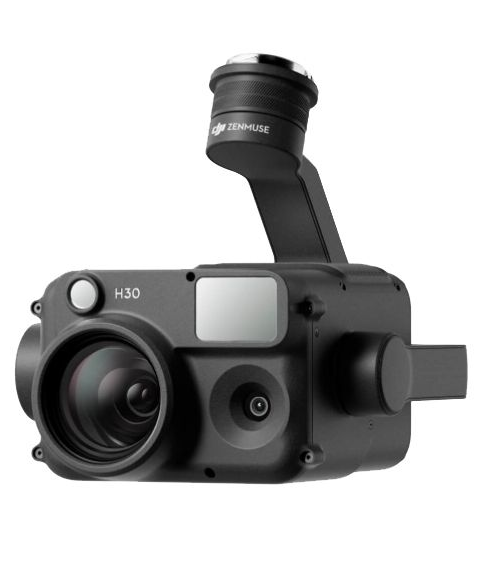
Zenmuse H30
The Zenmuse H30 Series features a high-resolution 40MP zoom camera, supporting up to 34× optical zoom and an incredible 400× digital zoom. Compared to the previous generation, it not only observes subjects at greater distances but also captures more details.
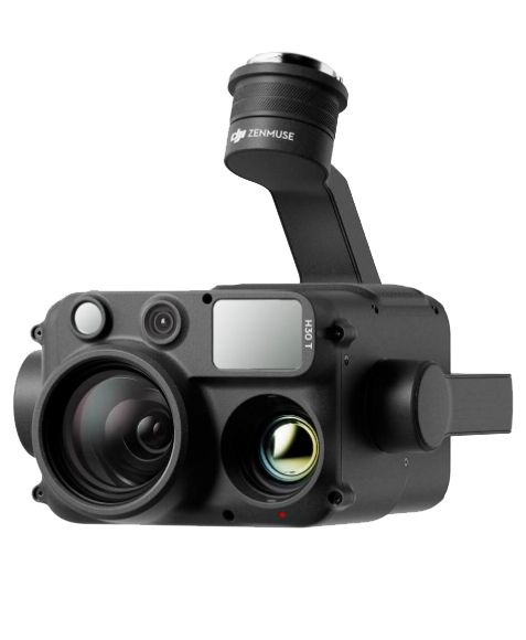
Zenmuse H30T
The Zenmuse H30T can switch to Night Scene mode in low-light conditions, enhancing live view and recording quality. This ensures operational efficiency and accuracy at night, enabling continuous operation from day to night.

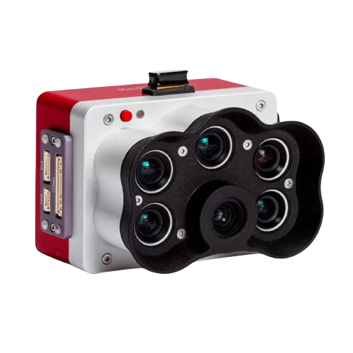
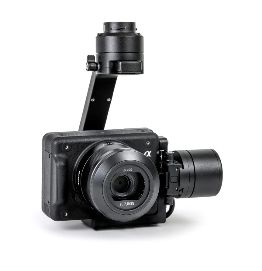
RGB61
Powered by the Sony A7R Mark IV, RGB61 guarantees maximum coverage, superior accuracy and a lighter data load, while offering in-app light settings control.
MICASENSE REDEDGE-P
The MicaSense RedEdge Panchromatic (RE-P) is our premium multispectral camera, which combines a panchromatic sensor with five narrow bands to produce high-resolution multispectral and RGB from one flight for advanced analytics.
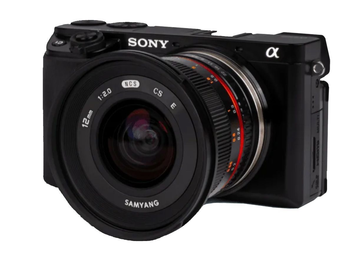
a6100 Oblique
Optimized to map vertical structures, this 3D mapping camera allows you to generate high-resolution 3D meshes with centimeter level absolute accuracy.
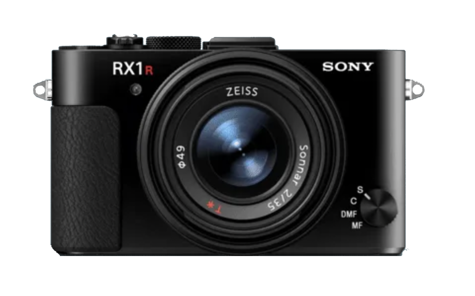
RXRII
For high accuracy surveys, Sony’s 42 MP full-frame sensor guarantees superior image resolution for a drone camera, while the low distortion lens ensures best reconstruction results.

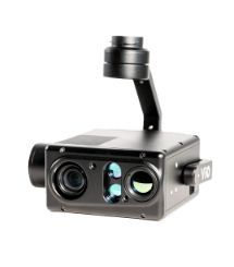
GREMSY VIO
Vio series is an advanced lightweight EO/IR payload, featuring a 4K zoom sensor, a 640×512 radiometric thermal camera, and an integrated 2400m laser rangefinder, ready for various industrial applications.
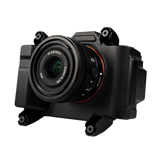
Sony ILX-LR1
Powered by a 61-megapixel full-frame back-illuminated Exmor R CMOS sensor and the BIONZ XR image processor, the new ILX-LR1 has excellent resolving power, wide dynamic range, and a broad ISO range spanning 100-32000 (native).
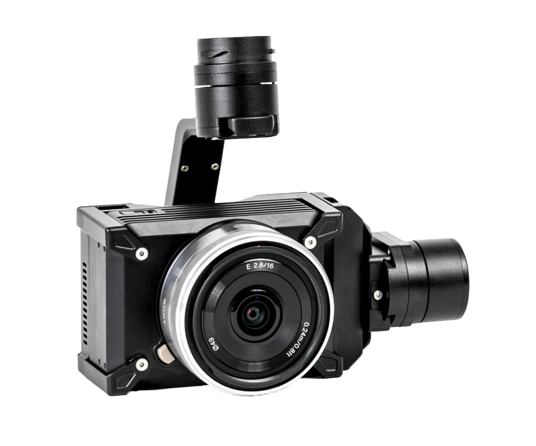
24MP Camera
The WISPR 24MP mapping camera is equipped with a full-frame Sony APS-C sensor, boasting an impressive 24.3 effective megapixels for high-resolution aerial mapping.
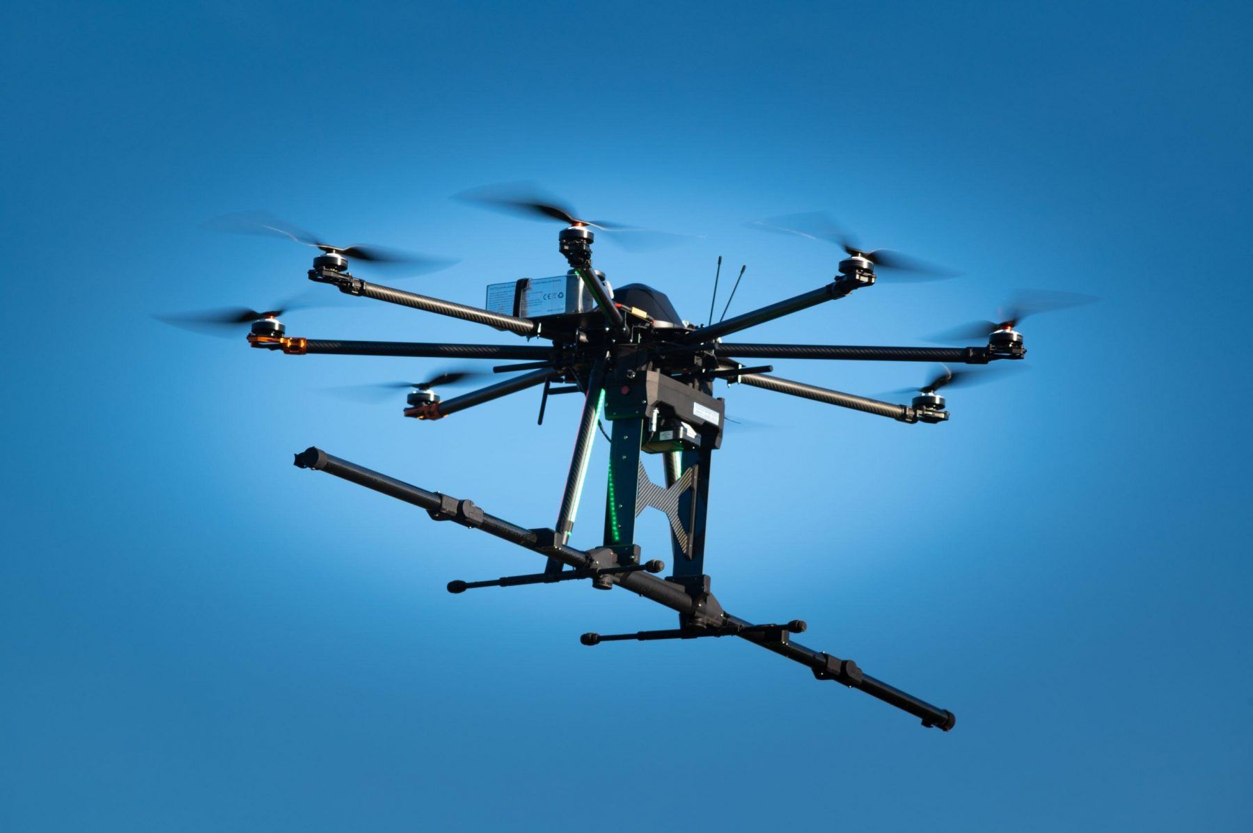
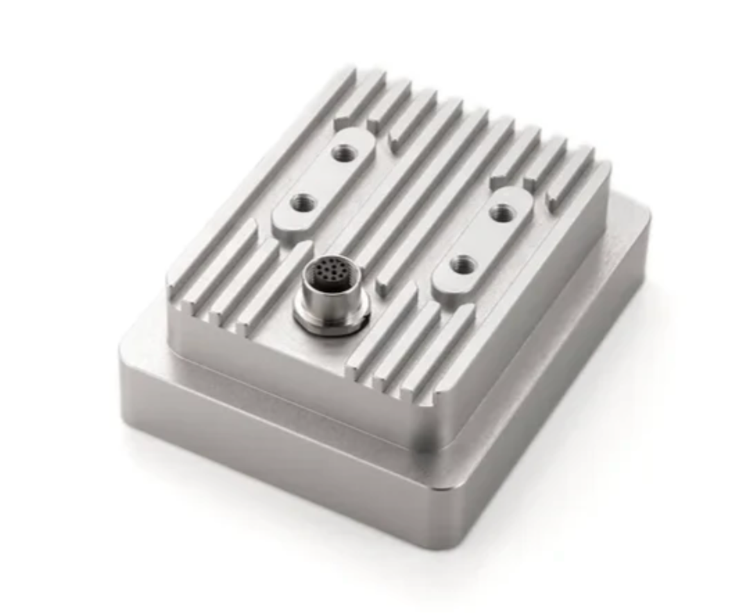
LiDAR Technology
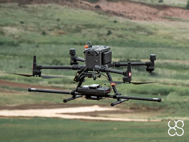
Ground Penetrating Radar (GPR)
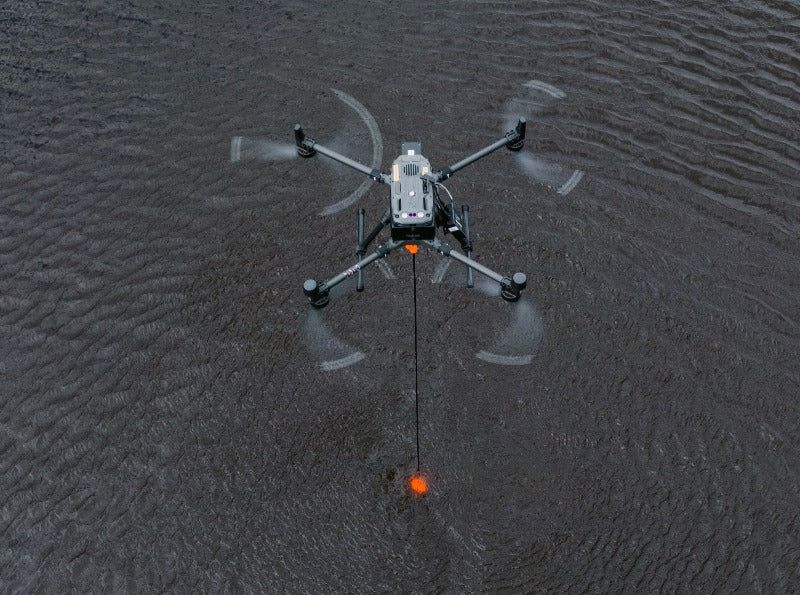
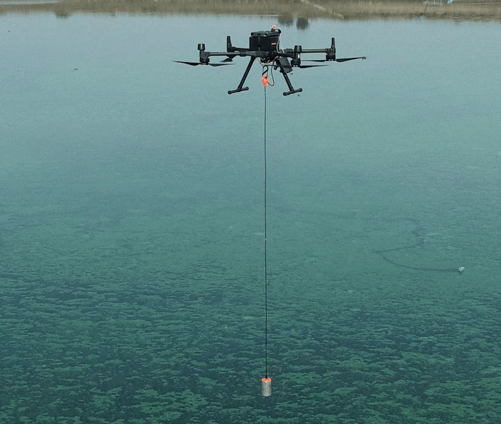
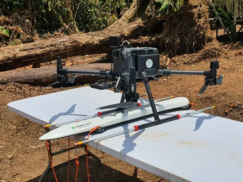
Echo Sounders
Magnetometers
Remote Sensing
Additional Payloads
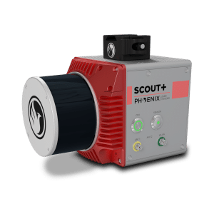
Mini Ranger-3 Lite
Zenmuse L2 integrates frame LiDAR, a self-developed high-accuracy IMU system, and a 4/3 CMOS RGB mapping camera, providing DJI flight platforms with more precise, efficient, and reliable geospatial data acquisition.
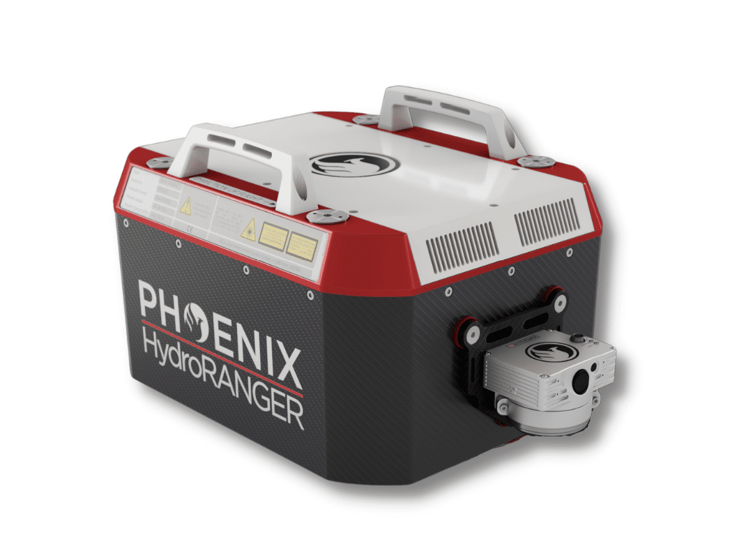
Hydroranger
The Zenmuse H20N integrates starlight sensors into its zoom and wide-angle cameras. Pair this with dual zoom thermal cameras and a laser rangefinder, and you have a versatile hybrid payload that rises to the occasion.

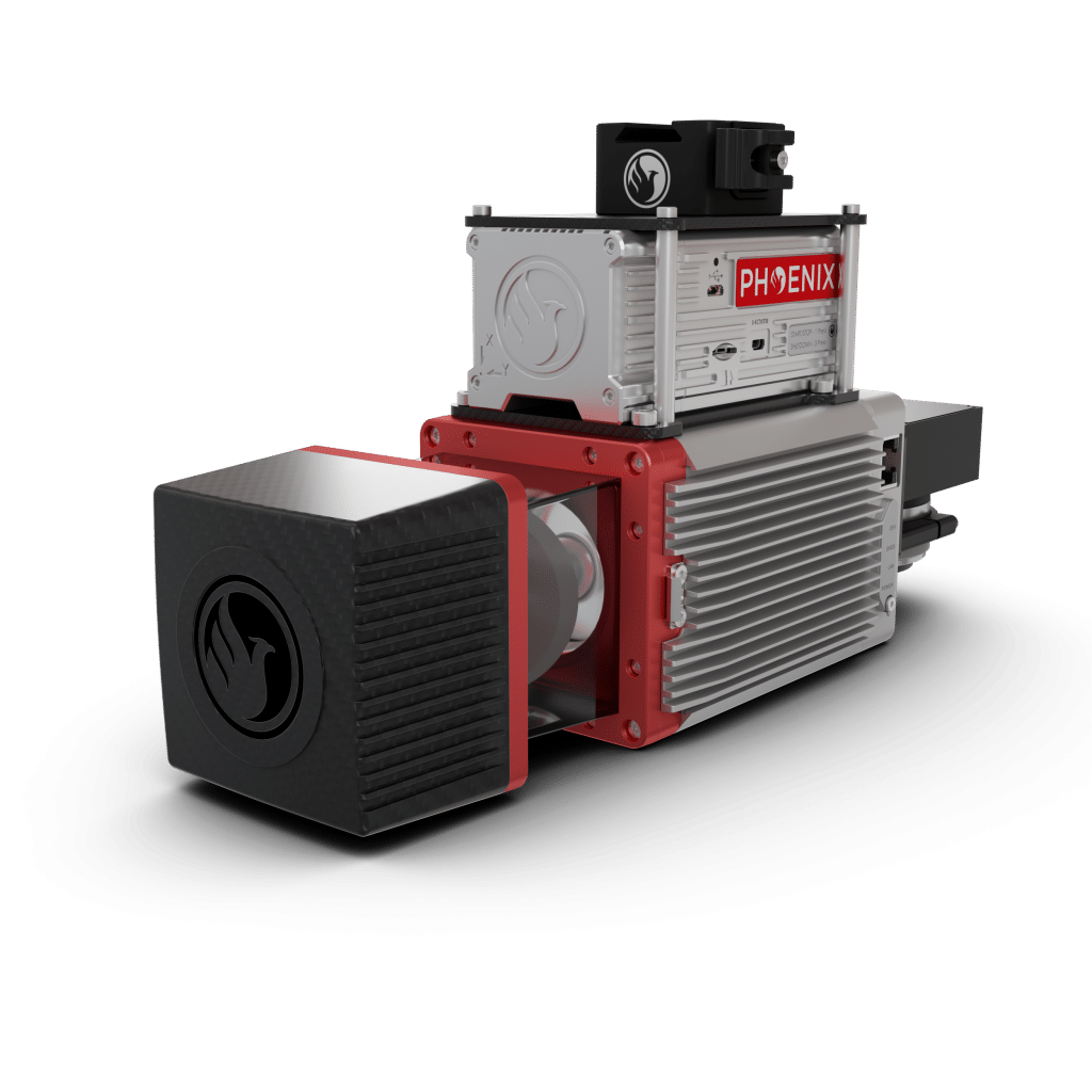
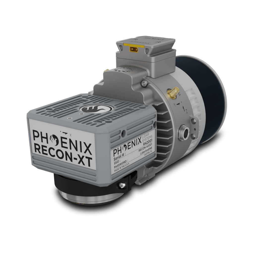
Ranger LR Lite
The Zenmuse P1 integrates a full-frame sensor with interchangeable fixed-focus lenses on a 3-axis stabilized gimbal. Designed for photogrammetry flight missions, it takes efficiency and accuracy to a whole new level.
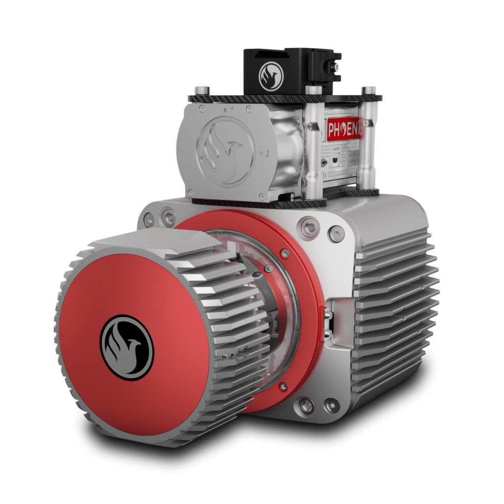
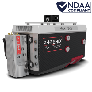
Ranger UAV Lite
The Zenmuse H30 Series features a high-resolution 40MP zoom camera, supporting up to 34× optical zoom and an incredible 400× digital zoom. Compared to the previous generation, it not only observes subjects at greater distances but also captures more details.
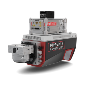
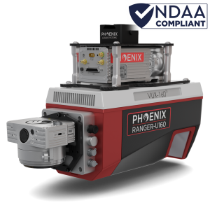
Ranger U120
The Zenmuse H30T can switch to Night Scene mode in low-light conditions, enhancing live view and recording quality. This ensures operational efficiency and accuracy at night, enabling continuous operation from day to night.
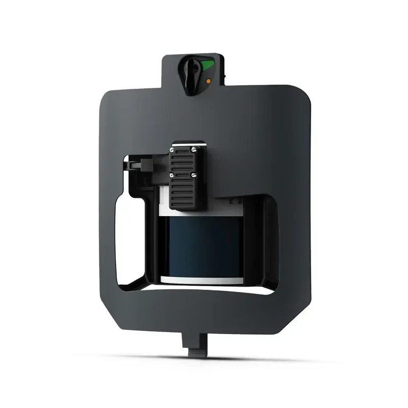

ZOND Aero LF
Powered by the Sony A7R Mark IV, RGB61 guarantees maximum coverage, superior accuracy and a lighter data load, while offering in-app light settings control.
ZOND Aero 1000 NG
The MicaSense RedEdge Panchromatic (RE-P) is our premium multispectral camera, which combines a panchromatic sensor with five narrow bands to produce high-resolution multispectral and RGB from one flight for advanced analytics.
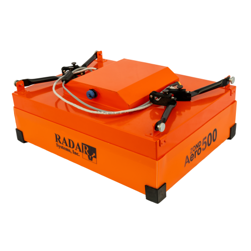
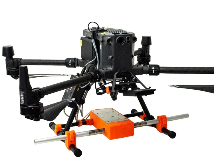
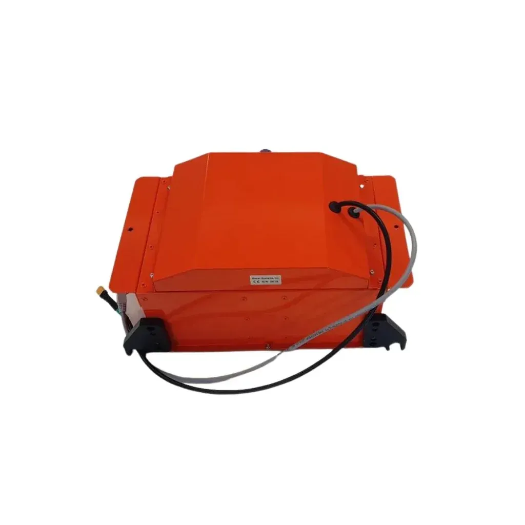
ZOND Aero 500
Optimized to map vertical structures, this 3D mapping camera allows you to generate high-resolution 3D meshes with centimeter level absolute accuracy.
ET D052S
Vio series is an advanced lightweight EO/IR payload, featuring a 4K zoom sensor, a 640×512 radiometric thermal camera, and an integrated 2400m laser rangefinder, ready for various industrial applications.
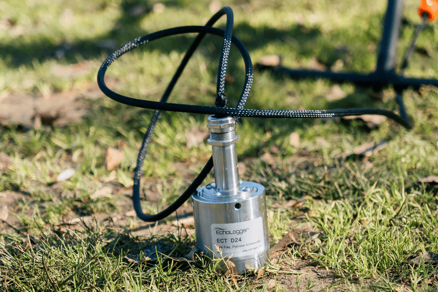
ECT D24S
Powered by a 61-megapixel full-frame back-illuminated Exmor R CMOS sensor and the BIONZ XR image processor, the new ILX-LR1 has excellent resolving power, wide dynamic range, and a broad ISO range spanning 100-32000 (native).
ECT 400S
The WISPR 24MP mapping camera is equipped with a full-frame Sony APS-C sensor, boasting an impressive 24.3 effective megapixels for high-resolution aerial mapping.

Sensys Madrone R4
Electromagnetic impulse (EMI) geophysical instrument for conductive materials detection.
Sensys Magdrone R3
Button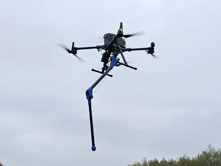
Sensys Magdrone R1
The Remote Sensing Payload Instrument. Compact and light-weight, offers best-in-class data accuracy, good detection range, high point density, and versatility.
Geometrics MagArrow MK2
Button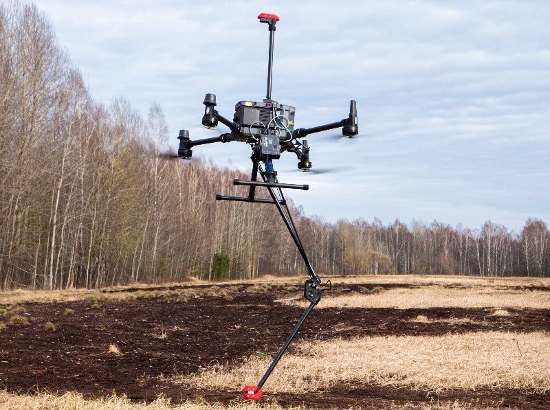
MagNIMBUS Atomic Total-Field
Button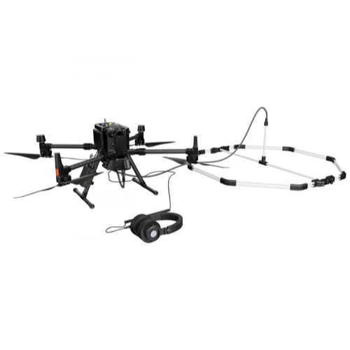
Ebinger Vemos Air
Electromagnetic impulse (EMI) geophysical instrument for conductive materials detection.
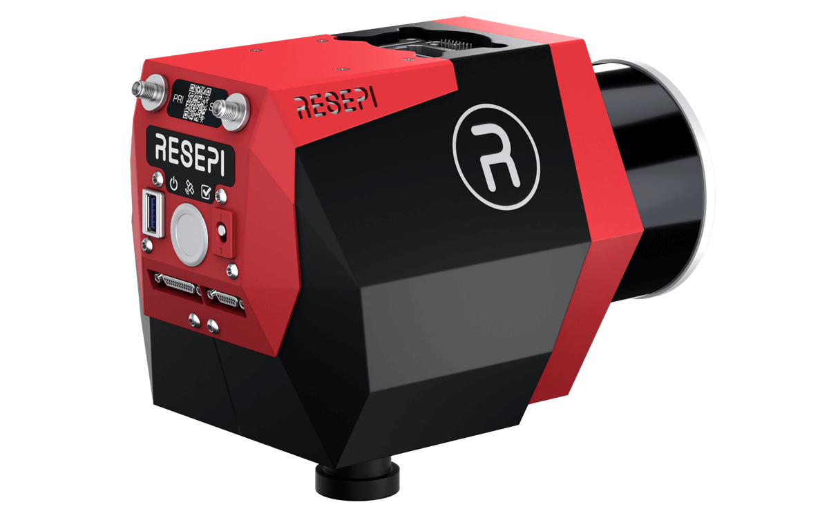
Resepi M2X
Button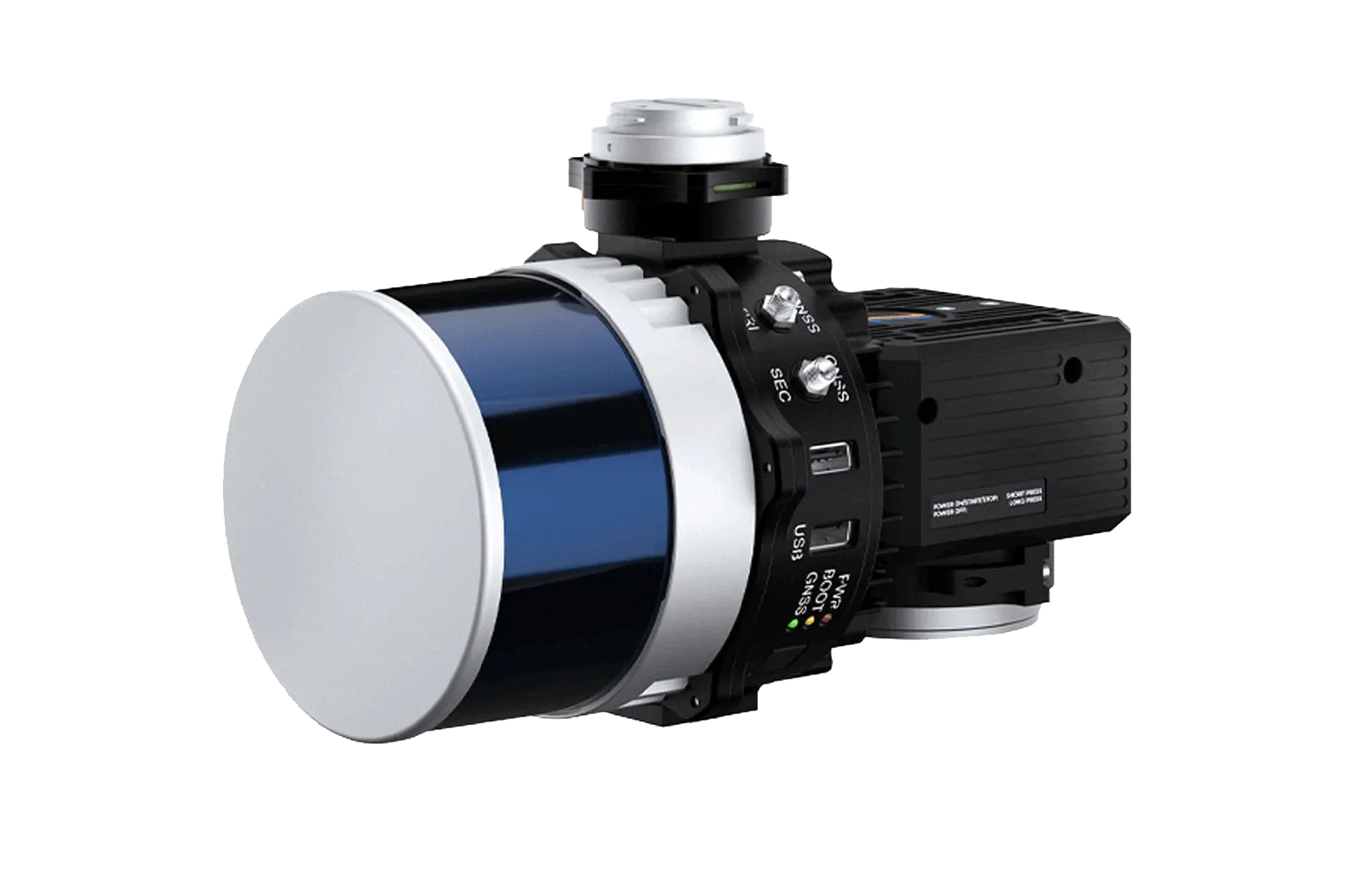
Resepi XT32
The Remote Sensing Payload Instrument. Compact and light-weight, offers best-in-class data accuracy, good detection range, high point density, and versatility.
Geolux RSS-2AB
Electromagnetic impulse (EMI) geophysical instrument for conductive materials detection.
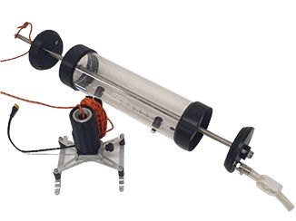
Ruttner Water Sampler
Button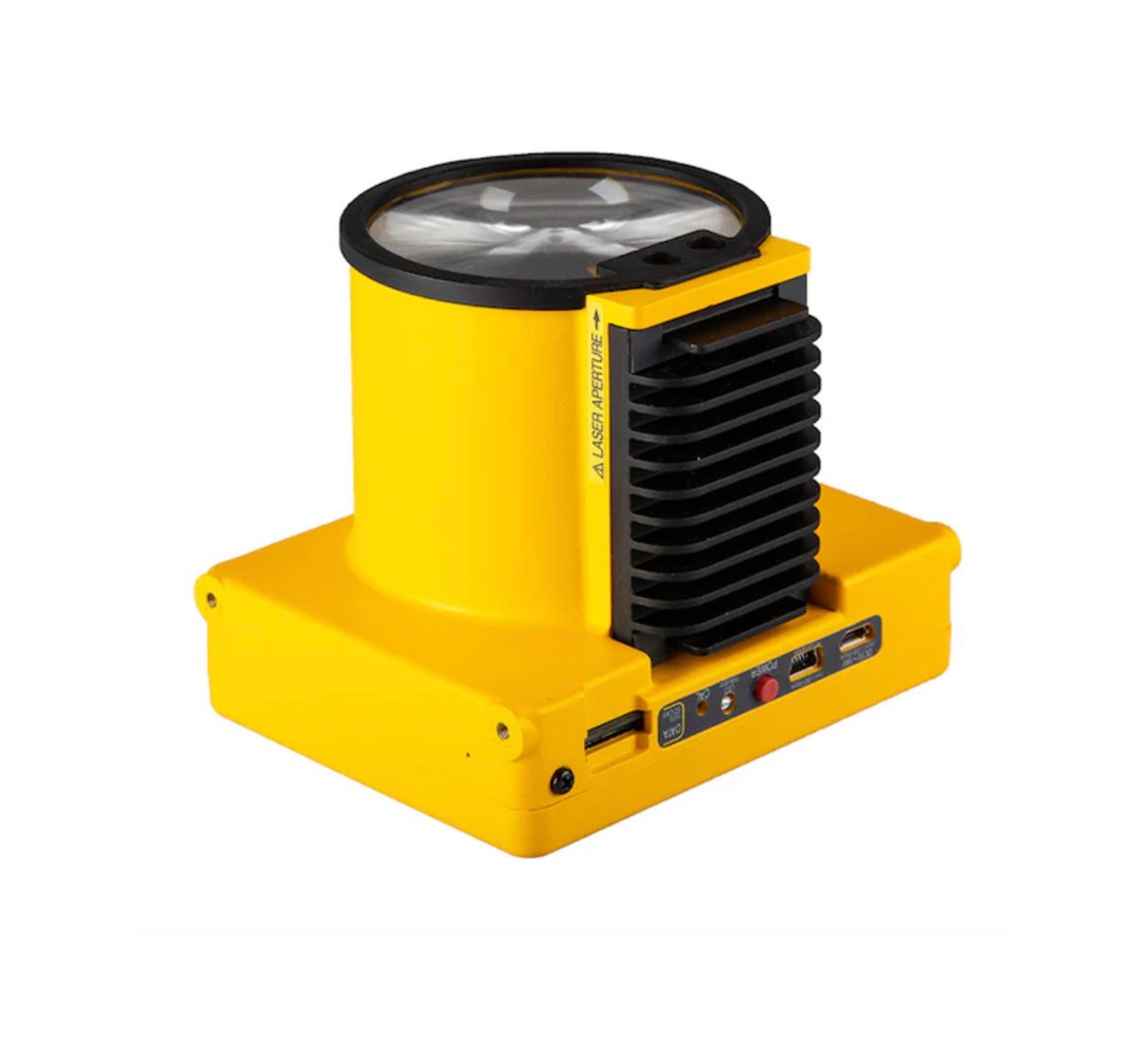
Laser Falcon Methane Detector
The Remote Sensing Payload Instrument. Compact and light-weight, offers best-in-class data accuracy, good detection range, high point density, and versatility.